The Passage Between Giants
On August 27, 1883, the loudest sound in recorded human history traveled outward from this narrow stretch of water. The eruption of Krakatoa, sitting almost dead center in the strait between Java and Sumatra, generated pressure waves that circled the globe four times and tsunamis that killed more than 36,000 people along surrounding coastlines. The Sunda Strait has been rebuilding itself ever since. Today it serves as Indonesia's most critical maritime corridor, a 24-kilometer bottleneck where ferries, tankers, and container ships jostle for passage between the archipelago's two largest islands.
Named for a Kingdom Lost
The strait takes its name from the Sunda Kingdom, a Hindu polity that ruled western Java from 669 to around 1579, governing an area that encompassed present-day West Java, Jakarta, and Banten. The Sundanese people, whose language and culture still define the region, gave their name to a waterway that had shaped their world for centuries. Triangular in profile, the strait opens wide and deep at its southwestern mouth, where the Indian Ocean pours in with considerable force. As it narrows toward the northeast, the water grows shallower -- reaching a minimum depth of just 20 meters in places -- and the currents grow treacherous. This funnel shape concentrates tidal energy and makes navigation demanding even in calm weather. For the kingdoms and sultanates that controlled Java's western tip, the strait was both a highway and a hazard, a source of trade revenue and a graveyard for careless mariners.
Krakatoa's Children
The islands scattered across the strait read like a geological casualty list. Krakatoa itself is mostly gone, its original cone obliterated in the 1883 eruption that removed two-thirds of the island. The volcanic cones of Danan and Perboewatan vanished entirely. Rakata, the largest surviving fragment, juts from the sea as a steep-sided reminder of the mountain that once stood 450 meters tall. Poolsche Hoed, a small island near Krakatoa, was swept away in the same cataclysm. But the strait's geology is not finished. Anak Krakatau -- "Child of Krakatoa" -- first broke the surface in 1927, and it has been growing ever since, punctuated by eruptions that periodically reshape its profile. In December 2018, a partial collapse of Anak Krakatau triggered a tsunami that struck the coasts of Banten and Lampung without warning, killing 437 people. The other islands -- Sebesi, Sebuku, Panaitan, Sangiang -- sit in the shadow of this ongoing volcanism, their communities accustomed to living on geologically active ground.
A Midnight Battle
Shortly before midnight on March 1, 1942, the strait became a killing ground. The Allied cruisers HMAS Perth and USS Houston, retreating after the disastrous Battle of the Java Sea, attempted to slip through the Sunda Strait toward safety. They were low on fuel and nearly out of ammunition. What they did not know was that a Japanese amphibious landing force had assembled at Bantam Bay on Java's northwestern tip, under the command of Rear Admiral Kenzaburo Hara. The escort force included a light cruiser, eleven destroyers, four heavy cruisers, and a light aircraft carrier. When lookouts on Perth spotted a Japanese destroyer and challenged it, expecting a friendly corvette, the battle was joined. Both Allied cruisers were sunk in the hours that followed. Over half of Perth's crew died that night -- 353 sailors lost in waters barely 30 meters deep. A Japanese minesweeper and a transport vessel were sunk by their own side's torpedoes in the confusion, a grim footnote to a chaotic engagement fought at close range in darkness.
The Bottleneck That Won't Break
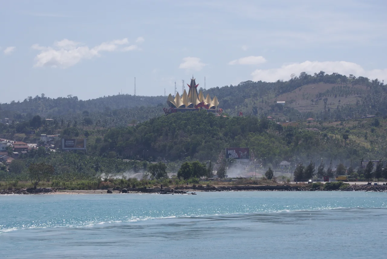
Modern Indonesia depends on the Sunda Strait in ways the Sunda Kingdom could never have imagined. Ferries operated by ASDP Indonesia Ferry shuttle constantly between Merak on the Java side and Bakauheni on the Sumatra side, carrying passengers, vehicles, and cargo across the two- to three-hour crossing. During holiday periods like Lebaran, daily traffic swells to over 2,000 cars and 500 buses, and truck queues stretch 10 kilometers back along the Jakarta-Merak Toll Road, with drivers sometimes waiting two or three days for a berth. The strait also carries international shipping traffic on routes linking the Indian Ocean to the Java Sea and beyond, meaning domestic ferries must cross paths with supertankers and container ships. Proposals for a bridge have surfaced repeatedly since the 1960s -- most recently an $11 billion plan for a road-and-rail crossing agreed with China Railway Construction Corporation in 2012 -- but President Joko Widodo shelved the project in 2014. The geography that makes the bridge necessary is the same geography that makes it nearly impossible: active volcanism, deep seismicity, and punishing ocean currents.
Between Two Worlds
From the air, the Sunda Strait appears as a slender blue incision between two enormous green landmasses. Java stretches eastward, its northern coastal plain giving way to a spine of volcanoes. Sumatra unfolds to the northwest, vast and jungled. Between them, the water churns with the wakes of vessels large and small, while the broken silhouette of Anak Krakatau rises from the sea roughly midway across. The strait marks more than a physical division. It sits near the Wallace Line's western approach, where Asian and Australasian biological zones begin to diverge. Ujung Kulon National Park on Java's southwestern tip shelters the last wild Javan rhinoceros, while Sumatra's forests harbor their own critically endangered species. For the millions of Indonesians who cross this water every year, the strait is simply the space between home and wherever they need to be -- a passage as routine and as consequential as any in the archipelago.
From the Air
Centered at approximately 5.97S, 105.77E. The strait runs roughly northeast to southwest between Java's Ujung Kulon peninsula and Sumatra's Lampung coast. The volcanic remnant of Anak Krakatau is visible near the center of the strait. From cruising altitude, the funnel shape is clearly visible -- wide at the Indian Ocean mouth, narrowing toward the Java Sea. Heavy ship traffic is usually visible, with ferry routes crossing between Merak (Java side) and Bakauheni (Sumatra side). Nearest major airport: Soekarno-Hatta International (WIII), approximately 100 km east. Radin Inten II (WIST) serves the Sumatra side in Lampung province. Recommended viewing at 10,000-15,000 feet for best perspective on the strait's geography and island chain.
Nearby Stories
- The Crossing at Silebu 7.5 km away
- The Eye of Krakatoa 22 km away
- Four Minutes Over the Java Sea 45 km away
- 1933 Sumatra Earthquake 59 km away
- Where Tigers Return and Addicts Heal 62 km away
- Way Kambas National Park 78 km away
- Battle of the Java Sea 539 km away
- Sainte-Rose, Réunion 5557 km away