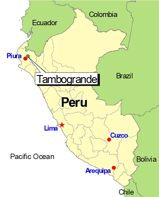
Tambogrande
The slogan fit on a bumper sticker and hit like a punch: Sin limon no hay ceviche. Without lime, there is no ceviche. In 2002, the farmers of Tambogrande - a dusty town of 16,000 in the Piura Desert, set above one of the largest undeveloped copper-and-gold deposits in South America - put that line on posters across Peru. Then they did something almost no community facing a billion-dollar mine had ever done. They held a referendum. And 98.72 percent of voters said no.
The Deposit Under the Houses
Manhattan Minerals, a Canadian company, had bought the mineral rights under Tambogrande in 1996. Underneath the streets and the lime orchards, their drill cores found a sulfide body rich enough that the company talked of extracting a billion dollars worth of copper and gold. The Peruvian government signed on. The plan required relocating thousands of people and turning the center of town into an open pit roughly a kilometer across. In exchange, residents were promised new houses, jobs, and infrastructure. It was a standard offer for the mining boom that swept Peru in the 1990s. Towns like La Oroya and Cerro de Pasco had already taken similar deals. Many had lived to regret them.
A Town of Limes
Tambogrande sits at the improbable junction of a river and a desert. The Piura River supplies water year-round; the soil, once irrigated, grows citrus and mango in volumes that matter nationally. The town produces roughly 40 percent of Peru's limes, and agriculture employs about 65 percent of the population. For families there, the orchards were not just livelihood but lineage - groves passed down across generations, identity planted in rows. The question was whether a town built on water could accept an industry that would consume enormous amounts of it while risking acid drainage into the same river the orchards drank from. Oxfam commissioned an independent environmental review. The answer came back stark: the risks were, in the report's language, too high to be acceptable.
The Front
The Frente de Defensa de Tambogrande began as a gathering of farmers, small business owners, and the local Catholic Church. On their own they would have been overmatched against a Canadian mining company in which the Peruvian government itself held a 25 percent stake. They partnered with international NGOs - Oxfam America, Friends of the Earth chapters from Costa Rica and Ecuador, the Mineral Policy Center - which supplied the research, funding, and legal frameworks the local organizers did not have. CONACAMI, the national confederation of mining-affected communities, carried the message into other Peruvian valleys watching Tambogrande closely. What emerged was a new template for resisting extractive projects: pair local legitimacy with international expertise, and put the question to a vote.
June 2, 2002
The referendum had no legal force. Peruvian mining law did not require community consent; the concession was already signed. But the NGOs helped organize it anyway, and on June 2, 2002, more than 27,000 Tambograndinos turned out to cast ballots. The tallies were not close. Ninety-eight point seven two percent voted against the mine. The government, facing numbers it could not politically ignore, revoked Manhattan Minerals' concession the following year. The Canadian company's share price collapsed. The deposit is still there, under the orchards. No one has tried to dig it since.
The Echo
What happened in Tambogrande did not stay in Tambogrande. The template - local front, international partners, community consulta - spread fast. Communities in Guatemala, Argentina, Colombia, and across Peru used the Tambogrande playbook in their own fights with gold, copper, and lithium companies through the 2000s and 2010s. Mining still accounts for a large share of Peruvian exports, and new concessions are still signed, sometimes against local opposition, sometimes in partnership with it. But after 2002, no mining company could credibly claim that the question of consent was merely a technicality. A town of lime farmers, armed with a slogan about ceviche and a turnout higher than most national elections, had made it a real one.
From the Air
Coordinates 4.93 S, 80.34 W, elevation roughly 70 meters, in northwestern Peru's Piura Desert. The town sits at the edge of the Piura River irrigation zone, and from 6,000-8,000 feet the transition is stark: a green crescent of lime and mango orchards giving way abruptly to tan desert on all sides. Nearest airport is Capitan Concha (SPUR/PIU) in Piura city, about 55 km southwest. Dry tropical climate; visibility typically excellent outside the rare El Nino years when torrential rains transform the desert.
Nearby Stories
- Ayabaca province 15 km away
- Ignacio Escudero District 18 km away
- Poechos Reservoir 21 km away
- Talara Refinery 50 km away
- El Airo, Loja 75 km away
- Marañón Dry Forests 146 km away
- Gocta 283 km away
- Easter Island: The Mystery of Rise and Collapse 3872 km away