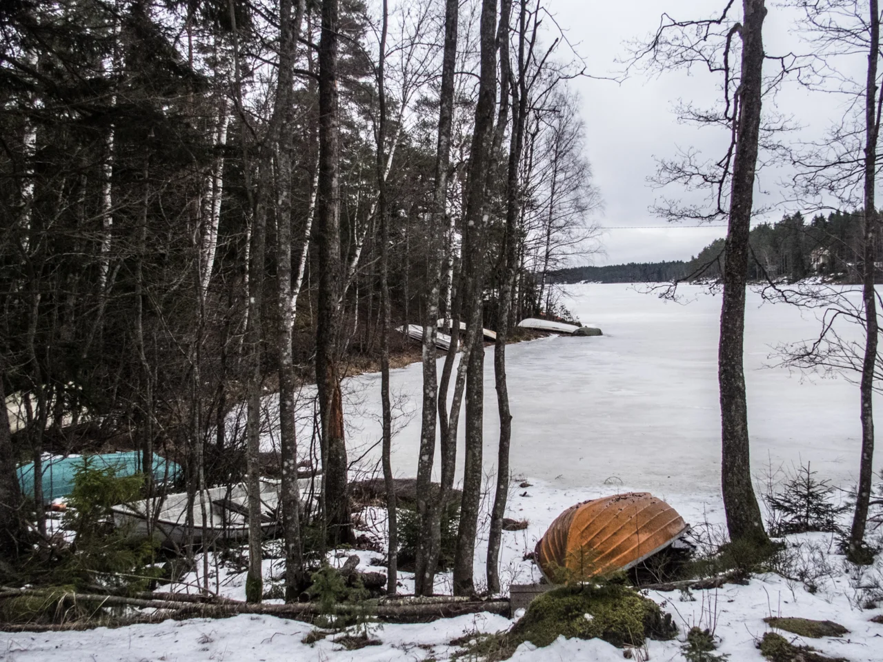

Teijo National Park
Walk the Jeturkastin loop long enough and the trail hands you a beach with no sea. Cobbles lie sorted and rounded exactly as surf leaves them, banked along a slope of pine several kilometres from open water. Nothing has been moved; the water simply left. When the last ice sheet melted off southern Finland, the unweighted crust began to rise, and it is rising still, lifting old Baltic shorelines into the woods a few millimetres a year. Teijo National Park is built on that kind of dislocation. It looks like wilderness and reads like industry, and almost nothing here is as old as it appears.
The Forest That Iron Ate
In 1686 the provincial governor Lorentz Creutz the Younger obtained rights to build ironworks in this corner of Perniö. Two works went up that year — Teijo and, on the brook running down to Halikonlahti bay, Kirjakkala — and a third eventually followed at Mathildedal. Ore could be shipped in, and much of it was. The constraint that could not be shipped was charcoal. A blast furnace devours forest, and when Colonel Klas Fleming bought the Teijo and Kirjakkala works from Creutz's widow, Hedvig Eleonora Stenbock, in 1727, his first move was to buy up neighbouring farms so the charcoal would keep coming. For two centuries the woods around these lakes were a fuel supply, felled and regrown on a cycle. That history explains a detail the park's own literature states plainly: the forests here are mostly young managed pine. The wildness is second growth, and it is only a few human generations deep.
Anchors, Nails and Iron Buttons
Kirjakkala reached its peak in the 1870s. Alongside the works stood a hammer forge and bar-iron shops turning out anchors, cart axles, nails and iron rod, and from the early 1900s the improbable speciality that outlived everything else — iron buttons. Cheaper foreign iron gradually made the smelting pointless, and the works was shut down in 1908. The small industries clustered around it hung on until the middle of the twentieth century, when a fire at the button factory in 1956 ended manufacturing at Kirjakkala for good; a replacement plant went up in Teijo's industrial area and still operates. The abandoned village was restored in the 1990s, and when the national park was drawn up it was drawn around the houses rather than past them. Timber dwellings from the 1800s stand along the brook in their original form, and the production buildings themselves survive only as ruins under moss.
Bog, Fen and Lake
The park's core is the 2,300-hectare Teijo hiking area together with the protected ground at Hamarijärvi and the Punassuo bog, and it is the wet places that carry the ecological weight. One eutrophic fen survives inside the boundary — a mire type that has all but vanished from southern Finland, drained away for fields and forestry over the past century. Boardwalks cross Punassuo without disturbing it. Cranes nest here, along with wood sandpipers and black grouse; moose and deer move between the lakes; the waters hold several freshwater fish species. Matildanjärvi anchors the southern half of the park and Sahajärvi the north, with smaller Hamarijärvi and Jeturkastin filling the gaps. In 2024 the park recorded 92,100 visits, which for a protected area you can cross on foot in a morning is a substantial crowd.
Fifty Kilometres on Foot
Roughly fifty kilometres of marked trail thread the park, and the routes are unusually varied for so small an area. The longest ring, the 8.8-kilometre Sahajärvi loop, crosses its lake on two cable ferries you haul yourself, with a lean-to waiting on the island of Kalasuntti in between. The Matildanjärvi loop runs 5.5 kilometres and passes through Mathildedal village on its way round. Jeturkastin's 4.6-kilometre circuit takes in the stranded shoreline; the Totti nature trail covers 1.3 kilometres for anyone with an hour to spare. About three kilometres of path are built to be accessible to visitors with mobility limitations, including the stretch between the Kariholma cooking shelter and its car park. The nature centre sits on the shore of Matildanjärvi and charges nothing to enter.
The Ark at Teijo
The ironmasters left more than slag. Johan Jacob Kijk, who bought the works in 1743, built Teijo's manor house in 1770 to drawings by the Turku city architect Christian Friedrich Schröder — a mansard-roofed rococo-classical block of the same family as Fagervik. The wholesaler Josef Bremer took over in 1794, and it was his grandson Robert who gave the district its strangest chapter. Robert Bremer read philosophy and astronomy, worked through his calculations, and concluded, so local tradition has it, that a biblical flood was due. He is said to have had a vessel built at Teijo — an ark, to carry the ironworks' people when the water came. The flood did not arrive. What remains from the same cast of mind is Teijo's church, finished in 1830, whose tower steps upward in tiers that look uncannily like a pagoda. It stands just outside the park, five minutes from a trailhead, and it is worth the detour.
From the Air
Teijo National Park lies at 60.2239°N, 22.9603°E on the eastern shore of Halikonlahti bay in Southwest Finland. From 3,000–4,000 ft the park reads as a dark block of pine broken by four lake basins — Matildanjärvi and Sahajärvi are the largest — with the pale rectangle of Punassuo bog on the eastern side and the inlet of Halikonlahti forming an unmistakable north-pointing wedge of water to the west. The restored ironworks villages of Mathildedal and Kirjakkala sit at the water's edge; Mathildedal's harbour is the clearest visual fix. Turku Airport (EFTU) is about 45 km northwest and handles the region's scheduled traffic; Kiikala Airfield (EFIK), a gliding and general-aviation field inside Salo municipality, lies roughly 45 km northeast; Helsinki-Vantaa (EFHK) is about 110 km east. Coastal Southwest Finland delivers long, low light and frequent sea haze over Halikonlahti in spring and autumn; winter brings low cloud and short days, with the lakes frozen and legible as flat white plates from November through March.
Nearby Stories
- Old Castle of Lieto 7 km away
- SuperShe Island 10 km away
- Hanko Peninsula 12 km away
- Junkarsborg 14 km away
- Hiidenlinna 21 km away
- Battle of Lemo 23 km away
- Archipelago National Park 35 km away
- Ravattula Church 38 km away