
Tonragee
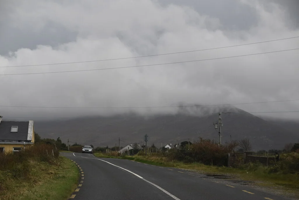
The Irish name says it all. Tóin Re Gaoith translates, somewhat informally, as 'backside to the wind' - the posture every house on the Currane peninsula instinctively adopts, hunkered low and turned away from the Atlantic gales that come howling in from the southwest. Tonragee is split between two townlands, Tonregee East and Tonregee West, with a combined population of barely 150 souls at the 2011 census. There is a national school, a pipe band, a road and the ghost of a railway. What there is in abundance is wind, bog, and the long horizontal sky that defines this corner of County Mayo.
The School at Tonragee
Scoil Náisiúnta Tóin Na Gaoithe - the local primary school, its name carrying the same windswept poetry as the village's - enrolled 66 pupils in 2024. By rural Mayo standards, that is a healthy number; many parishes have watched their schools close as families moved to towns or abroad. Tonragee's has held on. The children come from the surrounding farms and the few scattered houses along the R319, learning to read in both English and Irish in a building whose windows look out on more sheep than people. The school is one of the institutions that keeps a place like Tonragee from quietly evaporating off the map.
A Band of Pipers
The Tonragee Pipe Band - Banna Píob Thóin Ré Gaoith in its full Irish title - is the other anchor of community life. Pipe bands are a long Mayo tradition, often founded by returned emigrants or local enthusiasts and sustained across generations through evening practice in halls and competitions on summer Sundays. The band has been part of Tonragee life for decades and recently celebrated its 25th anniversary. To hear pipes drifting across the bog at dusk - the drone fighting the wind, the chanter weaving above it - is to understand why this music developed in places like this. It carries.
The Railway That Was
Once, a different sound passed through Tonragee. The Achill Extension Railway - a branch line of the Midland Great Western Railway - threaded along this part of the Currane peninsula, hauling tourists west toward Achill Sound from the late 19th century. It was a remote line for a remote destination, and like many such branches it could not survive the era of motor traffic. The rails were lifted long ago. The route, however, lives on: much of the old trackbed has been resurrected as the Great Western Greenway, a 42-kilometre walking and cycling path from Westport to Achill. Cyclists now pass through Tonragee where steam trains once stopped.
The R319
The R319 regional road - the main artery out to Achill - cuts through Tonragee on its way west. In recent years the road through the village has subsided in places, an embarrassing reminder that bog underlies most of the surface here and that bog does not like to be sat on by heavy traffic. Local councillors have raised the issue in the press; the council has patched and repatched. Drive through slowly. The houses turn their backs to the wind, just as the name promises, and look instead toward the road - watching who passes, who stops, who has come home.
From the Air
53.95N, 9.86W. Tonragee lies on the Currane peninsula about 6 km east of Achill Sound and the Michael Davitt Bridge. From the air it appears as a thin line of buildings tracking the R319 across a dark, level expanse of bog. The Great Western Greenway is visible as a paler scar parallel to the modern road. Best viewed at 2,000-4,000 ft. Ireland West Airport Knock (EIKN) lies approximately 65 km east-southeast. Atlantic weather brings frequent low cloud and showers; visibility can deteriorate within minutes when fronts pass through.
Nearby Stories
- Tully Cross 4.6 km away
- Binghamstown 6.7 km away
- Lough Mask Murders 6.8 km away
- Aughagower 13 km away
- Ballycastle, County Mayo 18 km away
- Action of 7 May 1794 36 km away
- RMS Carinthia (1925) 45 km away
- Inishtooskert 194 km away