
Transportation in Richmond, Virginia
Frank Sprague picked Richmond because the city's hills were terrible. If his electric streetcar could climb the grades of Church Hill and Shockoe, it could climb anything. On February 2, 1888, he ran his cars up Main Street under their own power. Crowds stood in the cold to watch the first successful electric street railway in the United States grind up grades that had been beating horsecars for decades. Within years, every American city of any size was tearing out horse rails and stringing trolley wire. Richmond's transportation history runs in long arcs like this one — a fall-line port that became a railroad city that became a streetcar city that became, like everywhere else, a freeway city. The James River bends through it all.
Fall Line
Richmond exists because the James River stops being navigable here. The fall line — that geological seam where the Piedmont drops to the Coastal Plain — created rapids the ocean-going ships of the seventeenth century could not pass. The first cargoes had to be transferred at this point, north bank or south bank, and two towns grew up around the unloading: Richmond on the north side, Manchester on the south. Tobacco from upriver plantations like John Rolfe's Varina Farms moved through here on its way to Hampton Roads. By the nineteenth century, the Virginia Board of Public Works was funding canals and turnpikes to thread the falls. The James River and Kanawha Canal pushed west into the mountains. The Chesterfield Railroad — a gravity-fed line hauling coal from Midlothian's mines — was one of the country's earliest. By 1855 Richmond was the rail center of the upper South, with lines running in every direction. That web of tracks would prove decisive in 1861.
Capital of the Confederacy
For four years, Richmond was the capital of the Confederate States of America, and its rail connections south through Petersburg were the spine of the war effort. The Union Navy could not reach Richmond by water — Confederate batteries at Drewry's Bluff blocked the river. So Ulysses S. Grant aimed instead at the rails. The Siege of Petersburg in 1864-1865 was about cutting Richmond off from the rest of the South. When Petersburg fell on April 2, 1865, Jefferson Davis and the Confederate cabinet evacuated Richmond by train that same night. Robert E. Lee surrendered at Appomattox a week later. The war effectively ended on railroad time. After 1865, Richmond rebuilt fast. Claudius Crozet's tunnels under the Blue Ridge — engineering ahead of their time — became part of Collis P. Huntington's Chesapeake and Ohio Railroad linking eastern Virginia to the Ohio River Valley. By 1881, Pocahontas coal was rolling east through Richmond to the piers at Newport News.
Sprague's Streetcars
Frank J. Sprague was a former U.S. Navy lieutenant who had worked briefly for Thomas Edison before striking out on his own. He had patents for electric motors and traction control. What he needed was a city willing to bet on him. Richmond was. The Union Passenger Railway hired him to electrify their lines, and Richmond's brutal grades — including the climb up Floyd Avenue, a punishing slope — were treated as the demonstration. The system opened on February 2, 1888 and worked. By 1890, more than a hundred American cities had ordered Sprague-equipped streetcars. The Richmond network grew into a regional web: out to Lakeside, west to the new University of Richmond campus at Westhampton, south to Forest Hill Park. Interurban lines reached Ashland north and Petersburg south. Streetcar suburbs spread along the tracks — Highland Park, Ginter Park, Woodland Heights. The system ran on its own logic for sixty years. In 1945, Virginia Transit Company bought the network specifically to shut it down. Buses replaced it almost overnight.
The Automobile City
After World War II, Richmond paved over its trolley world the way every American city did. The Richmond-Petersburg Turnpike — the toll road that became I-95 — opened in 1958. Drivers bought booklets of toll tickets at about eight cents apiece. The Powhite Parkway opened in 1973, the Downtown Expressway in 1976. Both were tolled to recover construction costs. The Boulevard Bridge — the "Nickel Bridge," though the toll long ago crept past thirty-five cents — became a Richmond institution. The streetcar suburbs were now driving through them. Greater Richmond Transit took over what remained of the buses in 1972. By the 1980s, only a handful of suburban routes survived; the last private suburban service, the Mechanicsville Bus Line, did not stop running until 2004. In 2018 Richmond opened the Pulse — a bus rapid transit line along Broad Street, the first rapid transit the city had seen in roughly six decades.
Airfields and Rivers
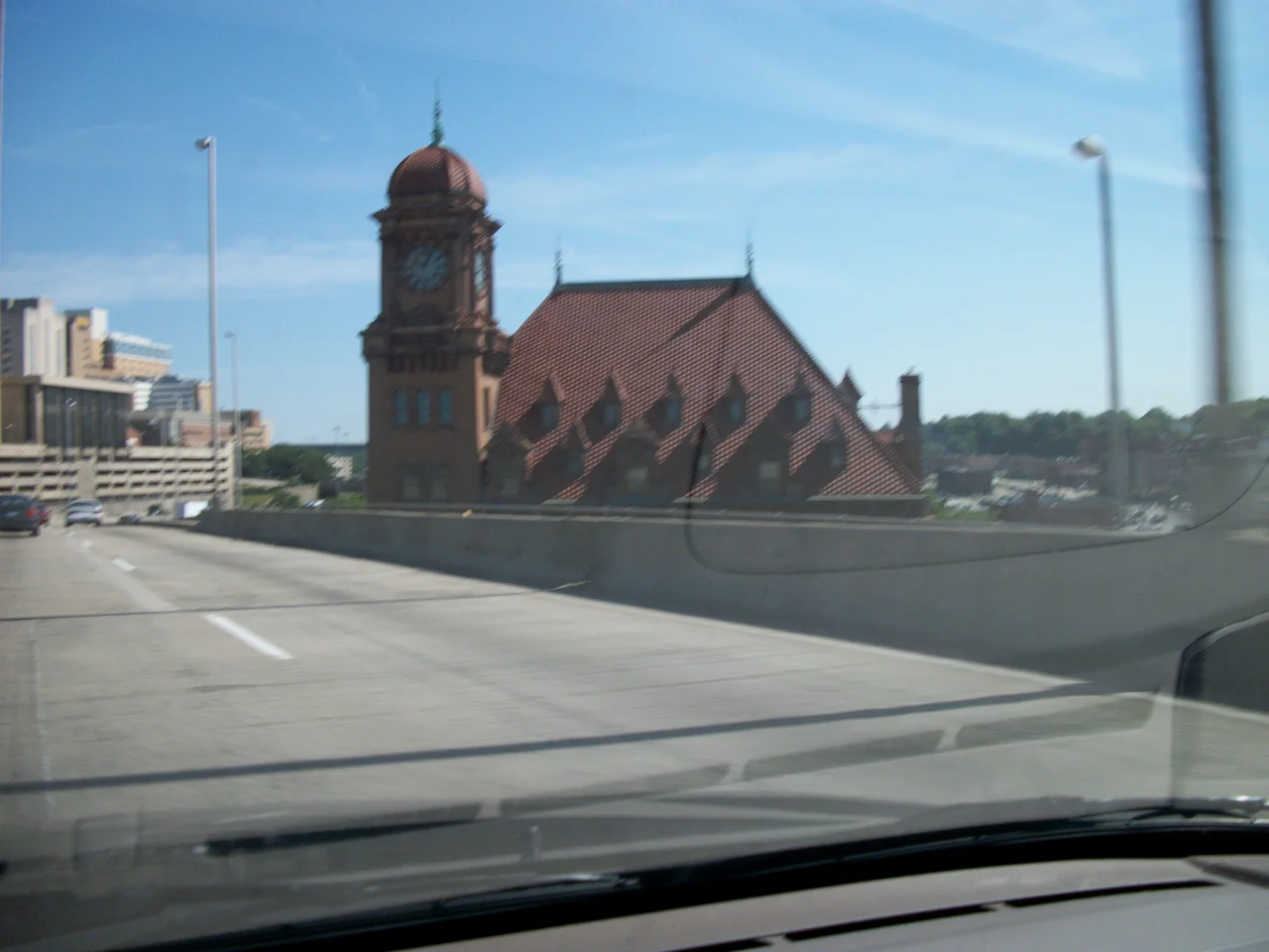
In 1927, with Charles Lindbergh in attendance fresh from his Atlantic crossing, Richmond dedicated Richard Evelyn Byrd Flying Field. The airport was named for Virginia native Admiral Richard Byrd, the polar explorer, whose brother Harry was then Governor of Virginia. The field grew into Byrd Airport and then Richmond International Airport (KRIC), seven miles southeast of downtown in Sandston. Two of Richmond's historic Beaux-Arts railroad stations still stand. Main Street Station, built in 1901 by Seaboard Air Line and the C&O in French Renaissance style, was idle for decades before Amtrak service was restored in 2003. Broad Street Station, designed in 1917 by John Russell Pope in neoclassical style, lost its trains in 1975 and now houses the Science Museum of Virginia under Pope's enormous dome. The Port of Richmond — the Deepwater Terminal — still operates at the edge of downtown, eighteen miles by ship from the Atlantic via Hampton Roads. The James no longer carries tobacco fleets, but it still carries cargo.
From the Air
Richmond's transportation infrastructure ranges across a wide area around 37.55 N, 77.45 W. KRIC (Richmond International) is the major airport at 7 nautical miles southeast of downtown. From 3,000 to 5,000 feet AGL on approach, the layout reads clearly: the James River curving through the city center, the cluster of bridges from Mayo to I-95 to the Vietnam Veterans Memorial Bridge downstream, I-95 and I-64 crossing at the Bryan Park interchange north of downtown, and the Main Street Station clock tower marking the eastern end of the historic core. Chesterfield County Airport (FCI) and Hanover County Airport (OFP) provide general aviation alternatives.
Nearby Stories
- Kings Dominion 8.4 km away
- Battle of Hatcher's Run 9.7 km away
- Francisco's Fight 14 km away
- Piney Grove at Southall's Plantation 17 km away
- Jamestown Settlement 19 km away
- Battle of Amelia Springs 22 km away
- Menokin 29 km away
- Highland (James Monroe House) 42 km away