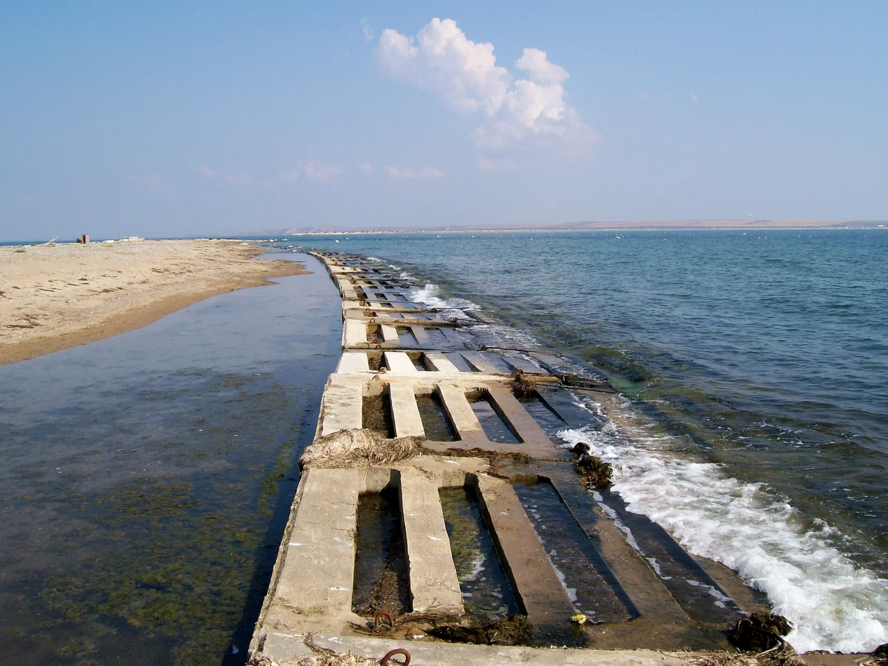

Tuzla Island
In 1925, a storm rearranged the map. A narrow tongue of sand had long reached out from the Taman Peninsula into the Kerch Strait, the salty channel between the Sea of Azov and the Black Sea. Then the sea, in one violent season, cut through the neck of that spit and set its far end adrift. What remained became Tuzla Island - a thin, low, sun-bleached islet whose name comes from the Turkic word for salt. It is barely more than a sandbar with ambitions, and yet for a place so slight, it has drawn more attention than islands ten times its size.
A Sliver of Sand Between Two Seas
Tuzla lies in the middle of the strait, roughly halfway between the Kerch Peninsula to the west and the Taman Peninsula to the east. Officially it has no permanent town, but it was never quite empty either. Over the years it held a small border station, a fishing settlement with a scatter of garden plots, and two modest holiday resorts named Albatross and Two Seas. Power came from a pair of diesel generators; a store opened at the resort from May through October. Two concrete roads run the length of the island, and a pier reaches into the shallow water. It is the kind of place where summers are long and salt-scented and winters are lonely, a low horizon of sand and reeds where the two seas seem to meet across the flats.
The Island Everyone Watched
For decades the strait's waters were shared and largely uncontested, but the island's precarious geography made it a flashpoint. In 2003, work began on a causeway reaching out from the Taman shore toward Tuzla, and the project drew intense scrutiny; the extra current it channeled worsened the erosion already gnawing at the island. Talks followed, the construction paused, and both sides eventually agreed to treat the strait and the Sea of Azov as shared internal waters. Engineers on both shores studied the shifting sands, dredged the channel, and built reinforcement structures to keep the fragile islet from washing away. Few pieces of ground so small have been so carefully measured, argued over, and defended against the patient force of the water itself.
The Stepping Stone
In the end, the island's greatest role was as a foundation. When a great bridge was planned across the Kerch Strait - the longest in the region, opened to road traffic in May 2018 - Tuzla became its natural stepping stone, a solid point midway across the water where piers could be anchored and the long spans could pause. The bridge now sweeps past the island in a low white arc, linking the Crimean and Taman shores. Tuzla remains what it has always been: a fragile line of sand caught between two seas, reshaped by storms and by human hands, a small place that the strait keeps trying to reclaim and that people keep refusing to let go.
From the Air
Tuzla Island lies at 45.268 N, 36.550 E, in the middle of the Kerch Strait south of Kerch. From 2,000-3,000 feet it appears as a thin sandy line crossed by the great arc of the Crimean Bridge - the most conspicuous landmark in the whole strait. The nearest airfields are Kerch to the west and Anapa (URKA) to the southeast.
Nearby Stories
- Phanagoria 5 km away
- Battle of Kerch Strait (1790) 13 km away
- Crimean Nuclear Power Station 15 km away
- Soviet Destroyer Smyshlyony 43 km away
- Koktebel 49 km away
- Arabat Spit 70 km away
- Byriuchyi Island 120 km away
- Meotyda National Nature Park 184 km away