
Byriuchyi Island
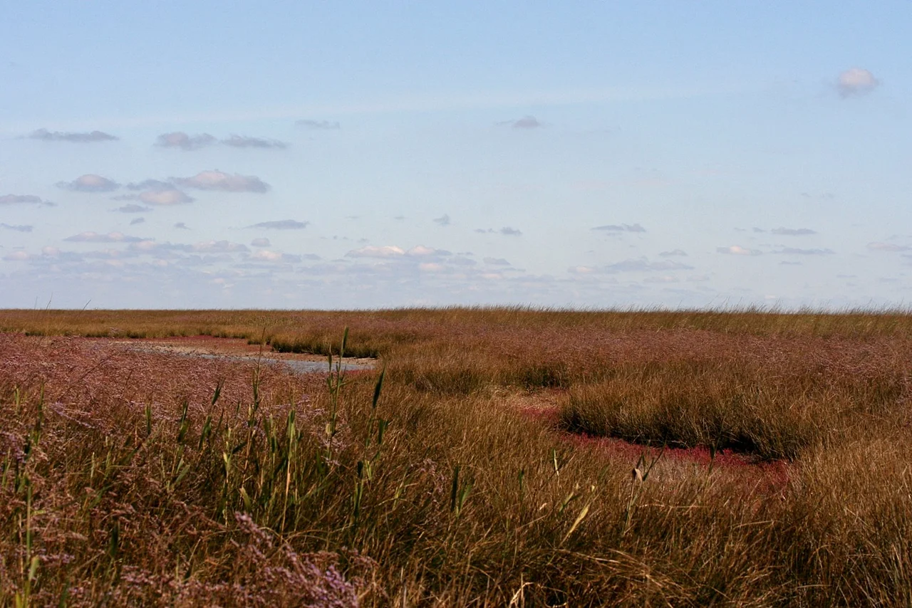
The name means Wolf Island, from byriuk, the old word for a lone wolf, and it suits a place that has always kept its distance. Byriuchyi Island juts into the northwestern Sea of Azov as the swollen southern tip of the Fedotova Spit, cut off from the mainland of Kherson Oblast by the shallow waters of the Utljuk Lyman. Until 1929 it was a true island, severed from the rest of the spit by a narrow strait, and the isolation still defines it. This is a low ribbon of sand and crushed shell some eleven nautical miles long and three across, ringed by lagoons and shoals so shallow that only small boats can slip into its sheltered bays, Rybatska and Mayachna among them. Here, out of reach of the mainland, herds of deer graze steppe grass within sight of the sea, and the loudest sound is usually the wind.
Coins of the Scythians
The human story here reaches deep into antiquity. In the first millennium BC the shores around Byriuchyi were the country of the Royal Scythians, the horse-riding nomads whose gold now fills museum cases. There is a tantalizing possibility that this very spit appears on some Scythian coins, its long curving shape recognizable across more than two thousand years. Whether or not the identification holds, the connection captures something true about the place: it has been watched, mapped, and remembered far longer than its emptiness suggests. Standing on the sand today, with only the wind and the birds for company, it is worth remembering that people once knew this thin scythe of land well enough, perhaps, to stamp it onto money.
The Introduced Wilderness
Byriuchyi's isolation made it ideal for a grand experiment in wildlife. The spit is alluvial, built entirely of sand and coquina, with saline lakes strung along its northern shore, among them the large Lake Olen, and around seven hundred species of plants covering its meadows and sand-steppe. In the 1970s and 1980s foresters planted shelter belts of oleaster, elm, black locust, and ash across more than two hundred hectares, softening the bare sand. Onto this made landscape came the herds: roughly a thousand red deer, some 2,500 fallow deer, ninety onagers, and scattered domestic horses and mouflon, with pheasants introduced among the birds. The island became part of a state reserve created in 1927, now folded into the Azov-Syvash National Nature Park. A lighthouse, first built in 1878, still marks the spit's southwestern edge, its beam sweeping the shoals to guide the small boats that thread the shallow water toward shore.
Where Art Comes by Catamaran
For a remote sandbar, Byriuchyi has drawn a surprising amount of creativity. In 2006 a contemporary art project began here, gathering artists twice a year, in spring and autumn, to work and exhibit against the stark backdrop of dune and water; its founders even coined a new spelling of the island's name to brand it. In 2015 a performance project called 1000-km view sent participants paddling catamarans across a thousand kilometers, from the Stryi River all the way to this island. Italian filmmakers have shot here too, drawn by a landscape that reads on camera as somewhere between shoreline and the edge of the world. Even the great and the powerful have found their way out: on 17 September 2003 the presidents of Ukraine and Russia met on Byriuchyi to talk over the sea border in the Azov and the Kerch Strait. The Wolf Island, it turns out, is not so lonely after all, its very remoteness a kind of magnet. There is something fitting in that. A place named for a solitary animal, cut off by shallow water and reachable only by small boat, has become a gathering point for artists, adventurers, and even heads of state, drawn precisely by the emptiness that keeps it apart. The deer graze on, indifferent to the visitors, and the lighthouse turns through the night as it has since 1878.
From the Air
Byriuchyi lies near 46.13°N, 35.10°E, at the seaward end of the Fedotova Spit. From 4,000 to 7,000 feet the full curving sandbar resolves, ringed by pale shoals and dotted with saline lakes; the 1878 lighthouse marks its southwestern tip. Look for the Utljuk Lyman separating it from the mainland to the west. Nearest airport is Berdiansk (UKDB) to the east.
Nearby Stories
- Azov-Syvash National Nature Park 6.9 km away
- Arabat Spit 20 km away
- Kazantyp Nature Reserve 53 km away
- Swan Islands Nature Reserve 71 km away
- Crimean Nuclear Power Station 87 km away
- Azov Upland 131 km away
- Khortytsia 158 km away
- Adziogol Lighthouse 170 km away