Wau
The train still exists, but barely. A single narrow-gauge line runs from Khartoum down to Wau, terminating at a station built when Sudan was one country and trains ran on schedules. Today the tracks lie mostly dormant, and Wau - a town of about 150,000 on the western bank of the Jur River - makes its living the way the Sahel has always made its living: cattle, trade, and the stubbornness of people who stay.
Fort Desaix to Zariba to City
The French arrived first, establishing Fort Desaix here in the 19th century as they pushed their colonial ambitions southward. Within a few decades the fort had been taken over by slave-traders who turned it into a zariba - a fortified thorn-fence stockade from which they raided surrounding villages for captives. This was not incidental history; Wau's original purpose as a settled place was the buying and selling of human beings from the southern tribes who lived beyond it. When the Anglo-Egyptian Condominium took over Sudan after 1899, Wau became an administrative center. The layers of colonial purpose are still readable in the street grid: a French fort, a slavers' compound, a British district office, and - now - the capital of South Sudan's Western Bahr el Ghazal state.
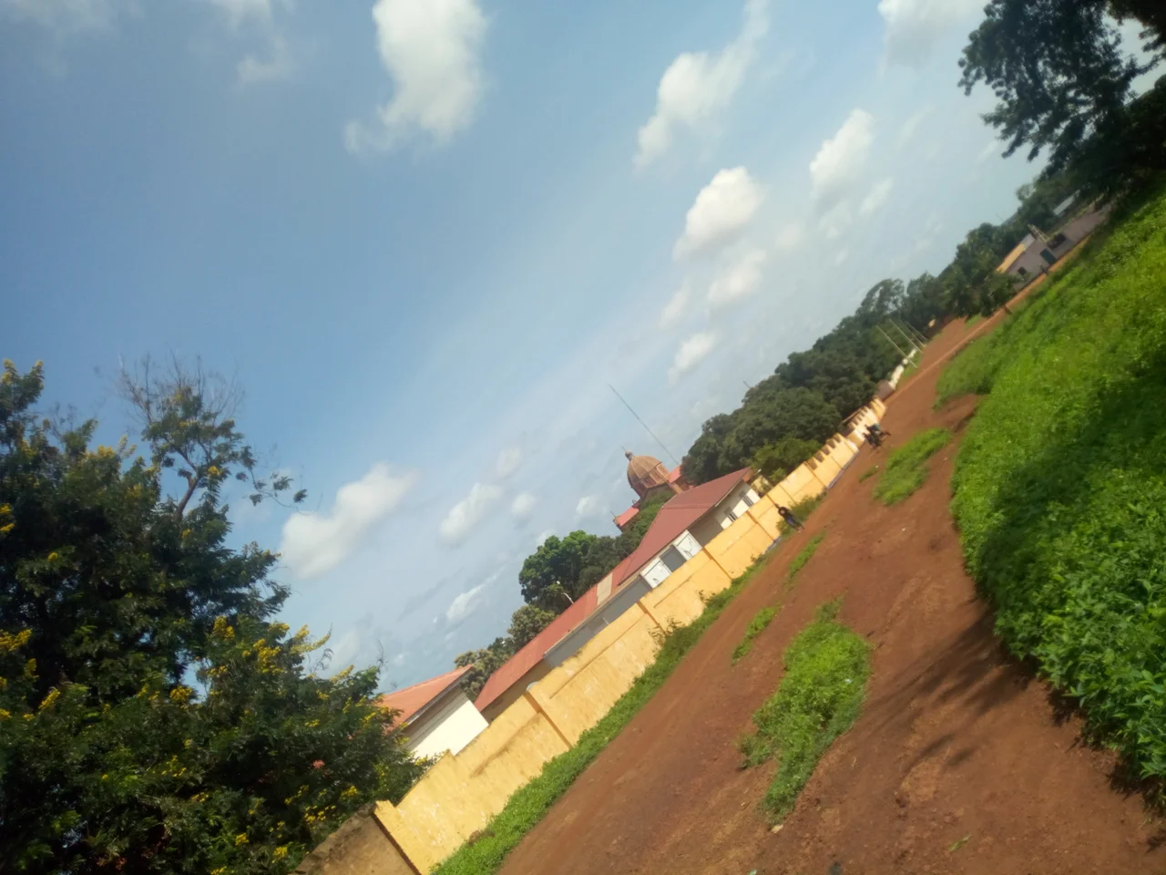
St. Mary's Cathedral
The Cathedral of St. Mary in Wau was first built in 1905, making it older than the nation it now stands in. The current structure, built between 1951 and 1956, is the seat of the Roman Catholic Diocese of Wau and remains one of the most prominent buildings in town. Its twin bell towers rise above the low skyline. The diocese serves the province's religious majority - a fact that matters because Wau sits almost exactly on the tribal boundary between the Luo and the Fertit peoples, and its population is among the most ethnically diverse in South Sudan. Minorities of Dinka, Baggara Arabs, and others share the streets. During the 2016-2018 Wau clashes, around 8,500 internally displaced people sheltered at the cathedral, which became one of the only places in town offering a kind of safety.
A Town That Has Been Destroyed Before
Wau has known war intimately. One of the first Anyanya insurgent attacks on Sudanese government forces happened at the Wau barracks in January 1964. During the Second Sudanese Civil War, the town was a government garrison; heavy fighting in the spring of 1998 and earlier battles in the 1980s killed hundreds and forced many Dinka residents to flee east toward what is now Warrap State. After South Sudan's independence in 2011, the peace did not last. In April 2017, Dinka soldiers of the SPLA and Mathiang Anyoor militiamen carried out a massacre of non-Dinka civilians in the town, killing up to 50 people and displacing thousands. Survivors have names; the dead had families. The quiet streets you might see today are not the streets themselves, but what grew back.
The People Who Stayed
Wau has also given South Sudan some of its most recognizable figures. Alek Wek, the supermodel whose face helped redefine what high fashion could look like, was born here in 1977 before fleeing war with her family. Luol Deng, the former NBA forward who played over a decade for the Chicago Bulls, was born here in 1985. Thon Maker, another NBA basketball player, is from Wau. Cardinal Gabriel Zubeir Wako, who served as Archbishop of Khartoum, began his ministry in the Wau diocese. There is something in this town - the river, the cathedral, the crossroads trade - that has produced an outsized share of people whose lives end up on international pages.
From the Air
Wau reveals itself from altitude as a grid pressed against the Jur River's west bank, with the cathedral's twin towers visible even from considerable height. The airport runway, 2,500 meters of asphalt running roughly north-south, sits just east of the town. Five main roads radiate outward - north toward Gogrial, southeast toward Tonj, south toward Tumbura, west toward Raga, and northwest toward Aweil. The narrow-gauge rail line runs north through the savanna toward Khartoum. In the wet season, August brings nearly 200 millimeters of rain and the surrounding country turns deep green. In the dry months the humidity collapses and the town looks dustier than it is.
From the Air
Coordinates: 7.70°N, 27.98°E. Recommended viewing altitude: FL300-FL350 for urban overview. Visible landmarks: Jur River running north-south through the west side, St. Mary's Cathedral (twin towers), paved airport runway to the east of town, rail line running north. Nearest airport: Wau Airport (HSWW/WUU), 2500m paved runway. Other references: Juba International (HSSJ/JUB) ~650 km southeast, Khartoum (HSSS/KRT) ~980 km north. Weather: tropical savanna climate, Köppen Aw. Hottest March (avg high 38.1°C); wettest August (192.3mm). 2777 hours sunshine annually.
Nearby Stories
- Bahr el Ghazal (region of South Sudan) 11 km away
- Tonj 25 km away
- Aweil, South Sudan 95 km away
- Lakes State 108 km away
- Mechra el Rek 121 km away
- Aroyo, South Sudan 130 km away
- Ironstone Plateau 158 km away
- Rumbek 202 km away