.jpg)
Western North Carolina
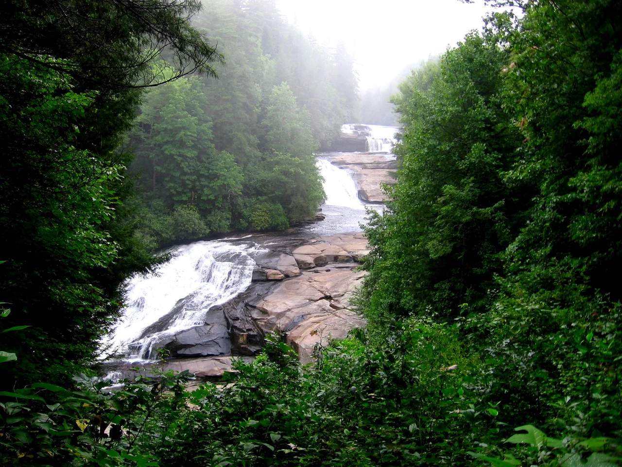
One hundred and twenty-five peaks rise above five thousand feet here, a density of high country found nowhere else east of the Rockies. The locals call it simply the Mountain Region, though the tourist brochures prefer Land of the Sky, a phrase lifted from an 1876 novel by Frances Tiernan writing as Christian Reid. Whatever the name, the geography is the same: twenty-three counties of folded ridges and waterfall-cut hollows, draining toward Tennessee on one side and the Atlantic on the other, with Mount Mitchell at 6,684 feet anchoring the whole assembly as the highest point in eastern North America.
The Eastern Continental Divide
A line runs through these mountains that decides where rainwater goes. East of it, every creek eventually finds the Catawba, the Yadkin, the Broad, or the Saluda, sliding through the Piedmont toward the Atlantic. West of it, the French Broad, the Nolichucky, the Watauga, the Little Tennessee, and the Hiwassee all bend toward Tennessee and the Mississippi system. The Eastern Continental Divide threads the high ridges that visitors photograph from the Blue Ridge Parkway, that 469-mile scenic byway starting in Virginia and ending near the Great Smoky Mountains. Stand at the right overlook and a rainstorm can fall on both sides of you at once, half the drops bound for the Gulf, half for the Atlantic. The divide has shaped settlement, trade, and identity in this region for centuries.
Qualla Boundary and the People Who Stayed
When the federal government forced most Cherokee west on the Trail of Tears in the late 1830s, not all of them went. Some hid in the hollows. Some had legal protection through North Carolina citizenship. Their descendants make up the Eastern Band of Cherokee Indians today, headquartered at Cherokee, North Carolina, on a 57,000-acre reserve called the Qualla Boundary, adjacent to Great Smoky Mountains National Park. The Qualla Boundary is not a reservation in the usual federal sense but land held in trust, purchased by the Cherokee themselves in the nineteenth century to keep their footing in their ancestral homeland. Archaeologists working in the early twenty-first century now estimate as many as fifty prehistoric earthwork mounds across the eleven westernmost counties, evidence that this region was central to Cherokee civilization for centuries before any European set eyes on it.
Asheville and the Far West
Asheville sits in the middle of it all, the region's largest city and commercial hub, where the French Broad River cuts between the Black Mountains and the Great Smokies. Beyond Asheville the country grows wilder. Transylvania County is officially known as the Land of Waterfalls. Western Carolina University crowns the village of Cullowhee. Fontana Dam, a Tennessee Valley Authority project, throws its concrete wall across the Little Tennessee River. Pisgah and Nantahala national forests guard hundreds of thousands of acres of hardwood ridges. Tourists pour in every summer for the cool air and every autumn for the colors. The timber industry endures, but the economy now leans on visitors who come to canoe, raft, fish, camp, and stare at the slow burn of October leaves.
The High Country and the Foothills
North of Asheville, the High Country rises around the college town of Boone, home to Appalachian State University and the ski resorts at Beech Mountain, Sugar Mountain, and Appalachian Ski Mountain. Watauga County's unemployment rate has, in some years, been the lowest of all 420 counties in the Appalachian Regional Commission's territory, a quiet pocket of prosperity amid a region the Commission still classifies many counties of as transitional or at-risk. East of the mountains, the Blue Ridge escarpment drops sharply, three thousand feet to fifteen hundred, into the Foothills. Hickory, Lenoir, Morganton, and the old mill towns once ran on furniture and textiles powered by mountain water. Globalization gutted much of that. Some towns have rebuilt around vineyards, poultry, distribution, and healthcare; others are still finding their way back.
Flight Context
Centered near 35.88 degrees north, 82.36 degrees west, the region stretches from the Virginia line south to Georgia. From cruise altitude the spine of the Blue Ridge runs unmistakably southwest to northeast, with Mount Mitchell and the Black Mountains forming the highest cluster. Asheville Regional Airport (KAVL) sits in Fletcher, southeast of Asheville, with non-stop service to Atlanta, Charlotte, Chicago O'Hare, and several northeast hubs. Tri-Cities Regional Airport (KTRI) handles the northwestern corner near the Tennessee line. Morganton-Lenoir Airport (KMRN) serves the Foothills. Expect mountain wave turbulence west of the ridges in winter winds and afternoon convection in summer along the Eastern Continental Divide.
From the Air
Coordinates 35.88N, 82.36W. Recommended viewing altitude 8,000 to 12,000 feet AGL to take in the full ridge structure. Mount Mitchell (6,684 ft MSL) is the highest obstacle. Nearby airports: KAVL (Asheville Regional) southeast of Asheville, KTRI (Tri-Cities Regional) at the Tennessee line, KMRN (Morganton-Lenoir) in the Foothills. Watch for mountain wave activity on west winds and rapidly building cumulus on warm afternoons.
Nearby Stories
- Black Mountain College 9.3 km away
- Watauga County, North Carolina 19 km away
- Gray Fossil Site 20 km away
- Grandfather Mountain 20 km away
- Forest City, North Carolina 39 km away
- Great Smoky Mountains National Park 42 km away
- The Titanic Museum: The Ship That Docked in Tennessee 57 km away
- Cumberland Gap 76 km away