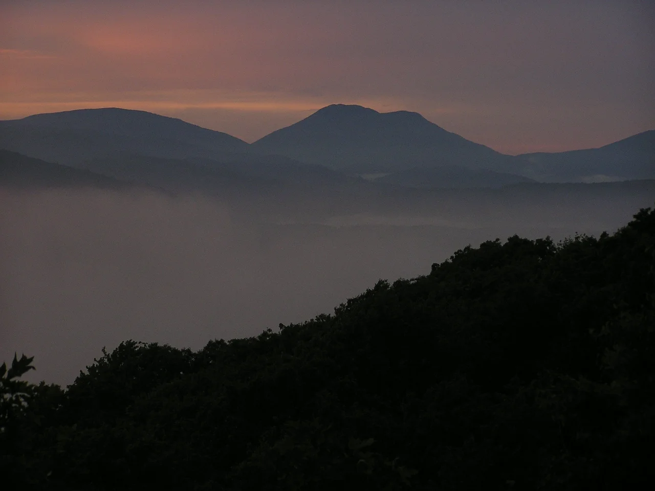

Watauga County, North Carolina
For most of the 19th and early 20th centuries, the rest of North Carolina called this place the Lost Provinces. Hemmed in by mountains too steep for railroads and too tall for state highways, Watauga County sat geographically inside North Carolina but psychologically closer to Tennessee, with whom it shared its weather, its accents, and most of its outlet to the wider world. The name Watauga itself comes from a Cherokee word with several proposed meanings - beautiful water, whispering waters, village of many springs, river of islands - and any of them fit.
The High Country
Watauga County was formed in 1849 from parts of Ashe, Caldwell, Wilkes, and Yancey counties. It covers 313 square miles, all of it inside the Appalachian Mountains. The county's highest point is Calloway Peak, the summit of Grandfather Mountain, sharing crowns with neighboring Avery and Caldwell counties at 5,946 feet above sea level. Beech Mountain, at 5,506 feet, is the highest incorporated community east of the Mississippi River. Boone - the county seat and largest town with about 19,000 residents - sits at 3,333 feet, the highest elevation of any U.S. city over 10,000 population in the Eastern United States. The 2020 census tallied 54,086 people across the county, with Appalachian State University driving the median age down to 29.4.
Stubbornly Unionist, Then Stubbornly Republican
When the Civil War came, Watauga's mountain isolation produced strong Unionist sympathies, though not as deep as in neighboring Avery and Mitchell counties. Through the Solid South Democratic era of the late 19th and early 20th centuries, Watauga voted Republican in most presidential elections, breaking only for Franklin Roosevelt in 1932 and 1936 and narrowly for Lyndon Johnson in 1964. The arrival of Appalachian State University changed that pattern over time. The county's expanded student population and incoming faculty shifted it leftward, and Watauga has carried for Democratic presidential candidates in 2008, 2016, 2020, and 2024. Gary Johnson's strongest North Carolina county in both his Libertarian campaigns was Watauga - the contrarian streak hasn't gone away.
Christmas Trees and Kraut Creek
The county's mountain economy runs on a peculiar mix: Fraser fir Christmas trees, sold by the millions to lots across the eastern half of the country every November; a Watauga County Farmers' Market that has operated in Boone since 1974; and Beech Mountain Resort, one of the few Southeastern U.S. ski resorts. Boone Creek, which runs through downtown Boone and the App State campus, is locally nicknamed Kraut Creek - a Boone sauerkraut plant once flushed cabbage-juice runoff into the water, and the smell lingered for decades after the plant closed. Appalachian State University drives the modern economy: $2.2 billion in statewide impact and $573 million in local impact in 2022.
Parks, Parkway, and Snake Mountain
Public lands stitch the county together. The Blue Ridge Parkway threads through the southern edge. Julian Price Memorial Park and Moses H. Cone Memorial Park flank the parkway. Pisgah National Forest claims part of the western county. State parks include parts of Grandfather Mountain State Park and Elk Knob State Park. The Beech Creek Bog State Natural Area protects a rare high-elevation wetland. Snake Mountain rises 5,564 feet in the county's far north. In Boone, the historic Watauga County Courthouse anchors downtown. Three local newspapers - the Watauga Democrat, Mountain Times, and High Country Press - still keep the county's news local, an unusually robust press for a town of its size.
From the Air
Watauga County sits centered at 36.23N, 81.70W in the High Country of western North Carolina. Recommended viewing altitude 7,000-9,000 ft MSL - terrain rises sharply with Grandfather Mountain (Calloway Peak 5,946 ft), Beech Mountain ridges over 5,500 ft, and Snake Mountain (5,564 ft) on the northern boundary. Primary GA airport is Watauga County Memorial (KGEV) at Boone with a 4,600 ft runway. Alternates: Elk River private (NC06) at Banner Elk, Avery County (K7A8), Ashe County (KGEV). The county was historically isolated for a reason - terrain is unforgiving. Expect mountain wave in westerly flow, rapid weather changes year-round, and limited approach options into KGEV. Numerous broadcast towers on Beech Mountain and ridges above 4,000 ft.
Nearby Stories
- Yancey County, North Carolina 16 km away
- A. P. Carter Homeplace 16 km away
- North Wilkesboro Speedway 21 km away
- Linville Gorge 21 km away
- Gray Fossil Site 23 km away
- Emory and Henry University 25 km away
- Galax, Virginia 28 km away
- 2025 North Carolina Cessna Citation II Crash 39 km away