Westhoek
Cross the border from Belgium into France here and almost nothing changes. The road still runs straight between hop fields and pollarded willows. The names on the village signs - Bissezele, Hondschoote, Wormhout, Steenwerck - are Flemish even though the post office that delivers their mail is French. The old farmer in the cafe at Cassel will order his beer in something that sounds like Dutch, drink it like a Belgian, and pay in euros that say France on them.
The Westhoek - the West Corner - is the geographical hinge where Dutch-speaking Europe folds into French-speaking Europe, and where for twelve centuries neither has quite won the argument.
The Naked Land and the Wood
The region splits naturally into three landscapes, each with a Flemish name the French have learned to live with. Closest to the North Sea is Blootland - the Naked Land - the maritime plain of polders reclaimed from the sea by medieval engineers, flat as a board and crossed by drainage canals that still run on schedules set by twelfth-century abbots. Dunkirk sits at its western edge, Veurne and Diksmuide at its eastern. Inland from Blootland rises Houtland, the Wood Land, a slightly higher belt of fields and small hills where Cassel stands on its 176-metre rise - the only real eminence between the sea and the Lys. South of Houtland is the third zone: the Leiedal, the Lys Valley, where the river slides east toward Ghent and the language line traditionally followed its banks.
Two Countries, One Tongue
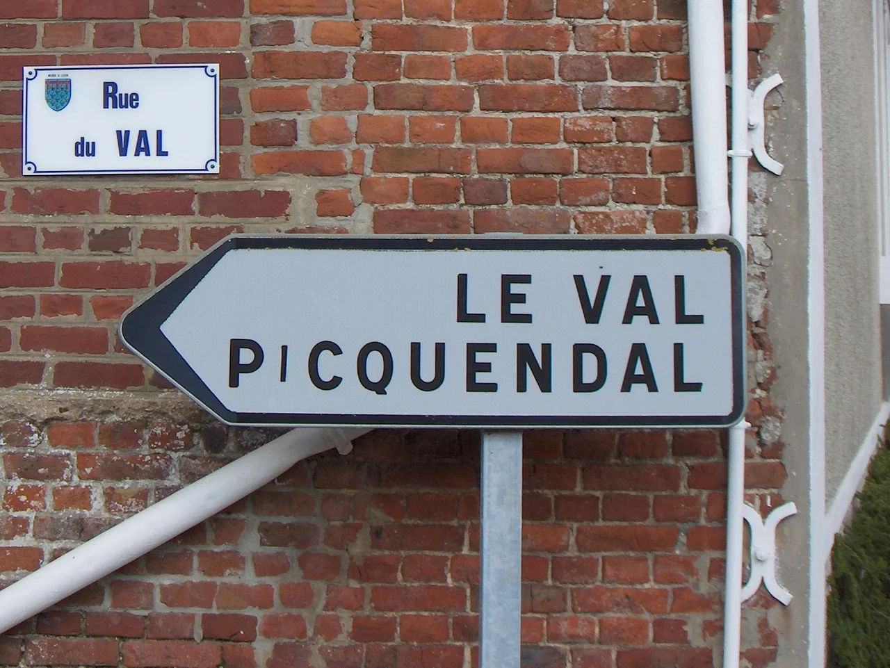
The traditional language of the Westhoek is West Flemish, a Dutch dialect that crossed the modern border long before the border existed. In 1853 France made French the sole language of education in its half of the region, and the long erasure began. The 1972 census found that French Flemish - the local subdialect - was still alive in tens of thousands of households around Dunkirk. By 2020 the number of daily speakers had dropped to between ten and twenty thousand, almost all of them elderly. Flemish was finally acknowledged as a regional language of France in 2008, which gave it legal recognition without giving it bilingual road signs or classroom hours. The dialect persists anyway in toponyms - Dunkirk itself is Duinkerke, Church of the Dunes, and the surrounding villages keep their Flemish bones under French phonetics.
A Border That Was Drawn Late
There was no France here for most of European history. The Westhoek belonged to the County of Flanders, then to the Burgundians, then to Spain, then to the Austrian Habsburgs - and in each of those centuries the line where people stopped speaking Flemish and started speaking French sat a few kilometres further south than the modern Franco-Belgian frontier. Louis XIV pushed his frontière de fer up through Saint-Omer and Dunkirk in the late seventeenth century, and the Treaty of the Pyrenees and later the Treaty of Nijmegen finally formalised what his armies had taken. The cities he annexed kept their Flemish character for generations. Even today, walk into the cathedral at Saint-Omer or the marketplace at Bergues and you are in a town built by Flemish municipal habits and pointed in a French direction by accident of war.
The Belgian Side
On the Belgian side of the line, the Westhoek covers the western strip of West Flanders - the arrondissements of Veurne, Diksmuide, and Ypres. The coast - De Panne, Koksijde, Nieuwpoort - is sometimes treated as its own region, the Westkust, where the dunes are wide enough to hide an abbey beneath them, as they did to Ten Duinen at Koksijde. Inland sit Poperinge with its hops, the gentle hills of Heuvelland with Kemmelberg as their high point at 154 metres, and Ypres itself rebuilt almost entirely from rubble after 1918. The whole salient of the First World War was Westhoek ground. The poppies that grow here every spring are not symbols. They are weeds that thrive on disturbed earth, and there is no earth in Belgium more disturbed than this.
Maritime Flanders, Looking Out
The English name for the region - Maritime Flanders - catches something the Flemish name does not. From the long beach at De Panne you can see the chalk cliffs of Kent on a clear day, and that proximity has shaped everything. The wool that built the medieval Flemish cloth trade came across this Channel. The bishops who refounded English monasteries after the Norman Conquest came across it the other way. In 1940 the British Expeditionary Force pulled out at Dunkirk under fire, and the men they could not evacuate slogged south through the Houtland fields trying to reach Cassel. Today the cross-Channel ferries still run from Dunkirk, the wind farms turn offshore, and the Westhoek does what it has always done: catch the weather coming in from the sea and pass it east into the rest of Europe.
From the Air
Westhoek centred near 50.9°N, 2.6°E, spanning the Franco-Belgian border in the corner where it meets the North Sea. The whole region is best viewed from 5,000-8,000 feet on a clear day - from that altitude you can see the entire span from Cassel hill in France to Veurne and the dunes at Koksijde on the Belgian coast. Look for the polders' geometric drainage grid in Blootland, the slightly raised farmland of Houtland with Cassel and Mont des Cats as the prominent rises, and the Lys winding east. Nearest airfields: Ostend-Bruges (EBOS) on the Belgian coast, Lille-Lesquin (LFQQ) south in Lille, Calais-Dunkerque (LFAC) west on the French coast, and Wevelgem (EBKT) inland. The 1914-1918 front line ran north-south through the eastern edge.
Nearby Stories
- Le Paradis Massacre 3.4 km away
- Yser 6 km away
- Brugge Railway Station 6.3 km away
- Battle of Courtrai (1814) 9.5 km away
- Battle of Ardres 9.9 km away
- 2021 English Channel Disaster 18 km away
- Marcinelle Mining Disaster 94 km away
- Cléon 165 km away