.jpg)
Wicklow
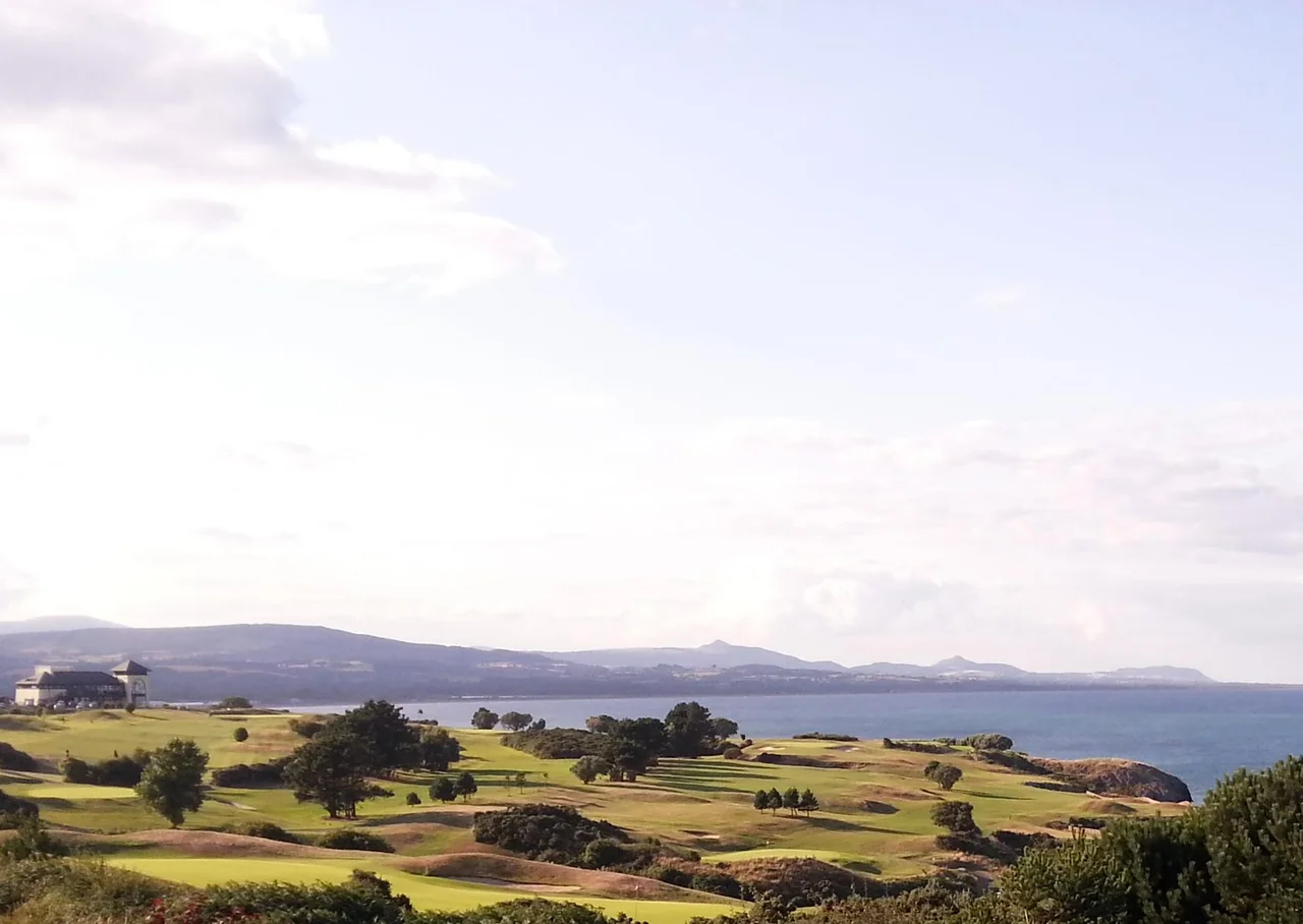
There are two completely different names for this town and neither one explains the other. The English name Wicklow comes from the Old Norse - Wykinglo in twelfth-century records - meaning roughly "the Vikings' meadow." The Irish name is Cill Mhantain, "church of the toothless one." The folklore explanation is wonderful: Saint Patrick and his followers tried to land on Travailahawk beach south of the harbour, and hostile locals attacked them, knocking out the front teeth of one companion. Manntach, "the toothless one," was undeterred. He came back, eventually founded a church, and gave his name to the place. The Anglo-Normans who later conquered this part of Ireland preferred the Viking name. Today the town has 12,957 people, and on a very clear day you can see Snowdonia in Wales across the Irish Sea.
Ptolemy's Menapia
When excavators dug the Wicklow road bypass in 2010, they uncovered a Bronze Age cooking pit - a fulach fiadh - and a hut site in the Ballynerrn Lower area of the town. Radiocarbon dating placed the site at around 900 BC. Five hundred years later, by 600 BC at the latest, an identifiable Celtic culture had emerged in Ireland. According to Ptolemy, the great cartographer of Alexandria, the area around Wicklow was settled by a Celtic tribe he called the Cauci or Canci, believed to have originated in the region of today's Belgian-German border. Ptolemy's map, drawn around 130 AD without his ever setting foot in Ireland, called the area Menapia. Names laid over names, kept like the strata of a coastline. The Vikings arrived in the ninth century, established a longphort harbour, and gave the place the name that English speakers still use eleven centuries later.
Coote's Vengeance
The town has its dark corners. In 1641 the rebellion against English rule swept through Wicklow and was quickly answered. Sir Charles Coote led English troops to retake the town and engaged in what contemporaries called "savage and indiscriminate" slaughter of the townspeople. Local oral history holds that one of the worst acts was the deliberate burning to death of an unknown number of people trapped inside a building - a building remembered today only by the name of a small laneway: Melancholy Lane. No written account confirms the details of the burning, but the name has lasted nearly four centuries. A century and a half later, in 1798, the rebellion of the United Irishmen ended for Billy Byrne of Ballymanus, one of its leaders, at Gallows Hill near Wicklow. A statue in the town square commemorates him today. The Wicklow Gaol where he was held, built in 1702 and a place of execution until the end of the nineteenth century, has been renovated as a heritage centre.
The Friary, the Town Hall and the Harbour
The oldest surviving building in Wicklow proper is the ruined Franciscan friary, founded in 1252 and dissolved by Henry VIII in 1551 - its bones stand at the west end of Main Street, inside the gardens of the local Catholic parish grounds. Wicklow Town Hall dates from around 1690. The Black Castle, perched on a rocky promontory at the south end of the harbour, was once an Anglo-Norman fortress and is now a romantic ruin photographed by everyone who walks the coastline. The town's most consequential nineteenth-century building is, surprisingly, the East Breakwater, designed by William George Strype and built by John Jackson in the early 1880s. It made the harbour usable for modern shipping and shaped the modern town's economy. The northern groyne, built by John Pansing and Louis Nott of Bristol, was completed around 1909. An obelisk in Fitzwilliam Square commemorates Captain Robert Halpin, who was born in Wicklow in 1836 and served as First Officer of the SS Great Eastern when it laid the first successful transatlantic telegraph cable in 1866, later becoming one of the greatest cable-laying captains in history.
A Quiet Town in a Sheltered Bay
Wicklow's climate is gentler than its windswept reputation suggests. The Wicklow Mountains shelter it from the prevailing westerly winds, and Ballyguile Hill blocks moisture coming from the south-west. The town receives only about 60 percent of the rainfall that falls on Ireland's west coast. The average maximum in January is 9.2 degrees Celsius; in July, 20.4. Easterly winds, when they blow off the European continent in winter, can drop temperatures sharply for short periods, but mostly Wicklow Bay sits warm and dry in its sheltered crescent of stone beach ten kilometres long. From 1950 to 1957, the Leinster Motor Club ran annual car and motorcycle races over an 8.34-mile circuit that passed through the town and Rathnew. Mike Hawthorn, future Formula One world champion, won here. So did the Grand Prix motorcycle ace Reg Armstrong. A granite monument at Whitegates, unveiled in 2000, marks where they raced. Wicklow Head, just south of the town, is the easternmost mainland point in the Republic of Ireland - the place where the country reaches farthest toward Britain and the dawn.
From the Air
Located at 52.98°N, 6.03°W on the Irish Sea coast, about 42 km south of Dublin city centre. Best viewed at 2,500-5,000 ft AGL; the crescent of Wicklow Bay and the prominent Wicklow Head are easily identifiable, with the Wicklow Mountains rising to the west. Nearest airports: Dublin (EIDW) 45 km north, Waterford (EIWF) 120 km south-west.
Nearby Stories
- CBC Monkstown 3.1 km away
- County Carlow 13 km away
- Kilcullen 15 km away
- HMS Tyler 18 km away
- Clonard Abbey 30 km away
- 2008 Irish Pork Crisis 34 km away
- Irish Sea Bridge 42 km away
- German submarine U-1051 46 km away