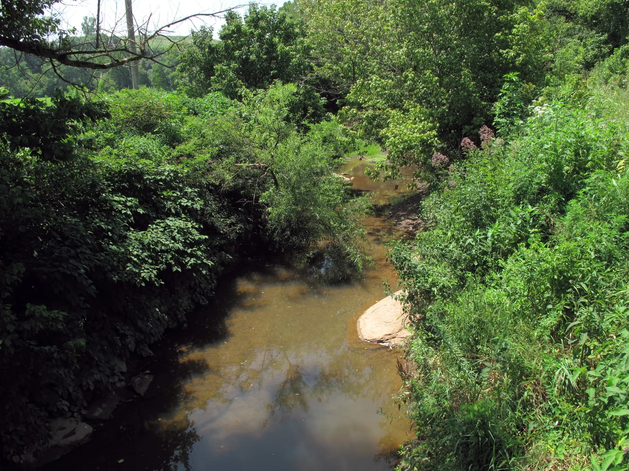

Wood County, West Virginia
The Ohio River does the heavy lifting here. It draws the northern and western boundary of Wood County for thirty-some miles of bank and bend, and at Parkersburg it accepts the Little Kanawha as its tributary, the smaller river sliding in from the southeast through a city that grew up to watch the confluence. Wood County was carved out of Harrison County in 1798 and named for a Virginia governor, James Wood, who had been a brigadier general in the Revolution and left office in 1799; he died in 1813. Today it is the fifth-most-populous county in West Virginia - 84,296 people at the last count - and a working piece of the Ohio Valley's industrial backbone.
Born of Subdivision
Counties on the American frontier multiplied by fission. Harrison County, formed in 1784, had grown unwieldy by the 1790s, so on December 21, 1798, the Virginia General Assembly cut a new county from its western portion. The new entity was named for James Wood, then the sitting governor of Virginia and a former Revolutionary War brigadier general from Frederick County in the Shenandoah Valley. Wood himself never lived in the county that bears his name; he was honored as a sitting executive, and his Tidewater life had little to do with the rough Ohio River bottomlands that his namesake county comprised. That gap - between the eastern Virginia gentry who named the western counties and the rougher settlers who actually inhabited them - would matter sixty years later, when the question of secession finally split the state in two.
Choosing the Union
When Virginia voted to leave the Union in April 1861, the delegates from forty western counties refused to follow. Wood County was among them. The dissenting counties met at Wheeling, organized a Restored Government of Virginia loyal to Washington, and then - moving from the audacious to the unprecedented - voted themselves out of Confederate Virginia entirely. In 1863, with President Lincoln's signature, West Virginia became the only state ever admitted to the Union by seceding from another state. Wood County's choice was partly geographic: its rivers flowed to Pittsburgh and Cincinnati, not Richmond. Its trade, its kin, its newspapers all pointed north and west. Secession from the Confederacy was, for most of its citizens, simply a recognition of where their lives were already oriented.
Township Experiment
Statehood brought a brief, Yankee-flavored experiment in local government. In 1863 West Virginia's counties were divided into civil townships on the New England model, an attempt to push democratic decision-making down to the smallest practical unit. In the rural hollows and bottomlands of West Virginia, where neighbors might be miles apart and roads barely passable in winter, the township proved impractical. By 1872 the experiment was abandoned and the townships were converted into magisterial districts - units of administration rather than self-government. Wood County wound up with ten of them: Clay, Harris, Lubeck, Parkersburg, Slate, Steele, Tygart, Union, Walker, and Williams. The names linger on tax maps and election precincts; the New England town meeting never took root.
Two Rivers, One City
Parkersburg, the county seat, sits at the mouth of the Little Kanawha. The smaller river flows northwest across the county, gathering Worthington, Tygart, and Walker creeks before it slips into the Ohio in the middle of downtown. The county covers 377 square miles, eleven of them water, and most of its character is determined by those rivers. The Ohio Islands National Wildlife Refuge protects a chain of forested islands strung through the river's main channel, sanctuaries for migrating birds and remnants of the wild Ohio that existed before locks, barges, and chemical plants. From the air the islands appear as a green dotted line in slate-blue water, and the highway grid of Parkersburg and its sister town Vienna lays down on the West Virginia bank in a tidy right-angle pattern that the river quietly refuses to honor.
Working Landscape
Modern Wood County is industrial in a way much of West Virginia is not. Parkersburg-Vienna, together with Marietta across the river in Ohio, forms a metropolitan area built around chemical manufacturing, plastics, and steel. Cooling towers and stacks punctuate the riverbank; barge traffic moves coal, grain, and petrochemicals on the same water that early settlers paddled flatboats on. The county also still farms - corn and hay on the higher terraces above the floodplain, livestock in the hollows back from the river. The shape of life here was set by water access in 1798 and reset by industry in the twentieth century, and both layers are still visible to anyone flying the Ohio Valley today.
From the Air
Centered around 39.21 N, 81.51 W on the West Virginia bank of the Ohio River. Mid-Ohio Valley Regional (KPKB) sits just north of Parkersburg and makes an excellent overhead viewpoint at 2,500-4,000 feet AGL. The confluence of the Little Kanawha and the Ohio at Parkersburg is the county's most distinctive visual landmark; the Ohio River Islands National Wildlife Refuge strings a chain of green islands through the channel for many miles. Across the river to the northwest, Marietta-Washington County (KMPD) marks the Ohio side of the metro area.
Nearby Stories
- Mountaineer Power Plant 5.3 km away
- Burning Springs Complex 7 km away
- Glenville, West Virginia 10 km away
- Strouds Run State Park 11 km away
- Salem University 26 km away
- West Virginia Penitentiary 42 km away
- The Y-Bridge of Zanesville 44 km away
- The Wheeling Suspension Bridge: The Longest Span in the World 81 km away