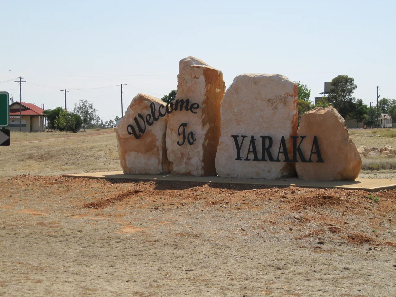

Yaraka
Two emus walked into a bar in Yaraka, and the rest of the planet eventually found out about it. The birds, named Carol and Kevin, took to climbing the steps of the local hotel, helping themselves to whatever they could reach and generally behaving like patrons who had never learned manners. The publican drew a line, posting a sign that banned emus from the premises, and an outback town most Australians could not place on a map went briefly viral. It is a very Yaraka kind of story: in a place this small, where almost nothing official happens, the unofficial becomes legend.
The End of the Line
Yaraka exists because a railway once decided to stop here and go no further. The branch line reached this point in 1917, and the town grew up as its terminus, the last full stop on a thread of steel running deep into Central West Queensland, more than 200 kilometres south of Longreach. A 1932 journalist captured the isolation perfectly, calling it a little place at the end of the line that enjoyed the privilege of seeing one train a week, set well down the Barcoo about a hundred miles from where the rivers meet to become Cooper Creek. He added that people who live in such places have courage and endurance above the average. Then the line closed in 2005 and was pulled up, leaving the town a terminus to nowhere.
Cattle, Wind and Hard Years
For a while the railhead boomed. In the 1930s the town held around a hundred people, enough to support a school, a church, and the rhythms of a working settlement, though the country never made things easy. On one wild night in March 1932, a storm gale lifted the Church of England clean off its blocks and stripped the roofs from three houses. By the 1950s, Yaraka had become a serious cattle-loading centre; in a single month of 1953 the yards handled more than 5,400 head, a record for the line and a volume considered remarkable for a small bush railhead. The town rode the fortunes of wool, beef, and weather, the way every settlement out here did, prospering and contracting with forces far beyond its control.
A Vanishing Town That Refuses
Today Yaraka is officially counted among Queensland's vanishing towns, its population fallen to a tiny handful of residents. The school closed in 2009 for want of students, and might have been the end of it, except the story took a stubborn turn. In 2014 the old school building was gifted to the community, and in 2016 locals reopened it, enrolling the children through the Longreach School of Distance Education with a governess to guide them in person. In 2021, residents won their own locality and lobbied for their own postcode, small acts of insistence from a place determined not to simply disappear off the map it took so long to get onto.
Sunsets, Shanties and Opal
What Yaraka lacks in size it repays in country. From Mount Slowcombe Lookout the land unfolds across the Yanyang Range toward Mount Brookes and Fort Douglas, the colours shifting through every shade as the sun drops, the kind of outback sunset people drive a long way to see. Nearby lie the ruins of Magee's Shanty, the watering hole immortalised in Banjo Paterson's bush ballad A Bush Christening, and the lonely grave of gold miner Richard Magoffin, who died out here in 1885. To the west, the Yaraka opal field gives up colour in as many as eight buried levels, while the spinifex, ghost gums and red dunes of Welford and Idalia national parks wait just down the road. It is a lot of world for so few people to keep.
From the Air
Yaraka sits at approximately 24.88 degrees south, 144.08 degrees east, deep in Central West Queensland, more than 200 kilometres south of Longreach near the Grey Range. From altitude the town is a tiny grid amid open Mitchell-grass downs and rocky spinifex ridges; navigate by the larger centre of Blackall to the north-east or by the rugged line of the Grey Range nearby. The nearest significant aerodromes are at Blackall (YBCK) to the north-east and Longreach (YLRE) to the north, the latter offering the main regional services; small strips may exist closer. Terrain is arid downs and mulga with negligible night lighting, ideal for dark skies. Visibility is typically excellent in the dry; summers are fierce, with daytime maxima well into the high thirties Celsius, and unsealed roads can flood after rain.
Nearby Stories
- Welford Homestead 16 km away
- Idalia National Park 23 km away
- Lochern National Park 43 km away
- Isis Downs Station 45 km away
- Hell Hole Gorge National Park 49 km away
- Thomson River (Queensland) 55 km away
- Isisford, Queensland 61 km away
- Cheepie, Queensland 174 km away