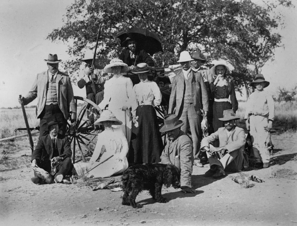

Isis Downs Station
Three Englishmen took up this country in 1867 and reached for a name from home. They called it Isis Downs, after the Isis - the stretch of the upper Thames that runs past Oxford - as if a slice of green English river could be willed onto the dust of the Barcoo. The land had other ideas. Over the next century and a half, Isis Downs would swell to one of the largest sheep stations in Queensland, burn, rebuild, run a quarter of a million sheep, then trade them all for cattle. The English name stuck. The English landscape never arrived.
An Empire of Wool
By 1910 Isis Downs had grown past 200,000 hectares and carried a comparable number of sheep. The men who built it into a powerhouse were Sir Rupert Clarke, 2nd Baronet of Rupertswood, and his business partner Robert Whiting, a wealthy Melbourne solicitor. Together they assembled vast holdings across Queensland, yet of all of them they regarded Isis Downs as their "masthead" station - the flagship. They were restless improvers: they built the homestead, sank three artesian bores, dug a 192-kilometre network of bore drains to spread water across the run, and imported a 110-horsepower road train from England to haul wool across roadless plains. In 1912 the station carried 200,000 sheep; in 1954, 50,000 were shorn in a single season.
The Labour Beneath the Ledgers
The wool wealth rested on coerced and exploited people. When John Govett and James Thomson bought Isis Downs in 1873 for £17,067, they worked the run with Chinese labourers hired under harsh indenture, with South Sea Islanders who had been "blackbirded" - kidnapped or tricked from their Pacific homes and shipped to Queensland to cut cane and herd stock - and with Aboriginal women and children. Several of the Islanders died of typhoid far from home; another was shot dead after stabbing an overseer at nearby Terrick Downs. These were not statistics. They were people taken from their families and made to labour on land taken from the Kuungkari, and the comfortable fortunes the station produced were built on what was done to them.
Fire and the Round Shed
In September 1912, just after shearing closed, fire swept the station and destroyed the woolshed along with 1,200 bales of wool - a calamity at the worst possible moment. Clarke and Whiting responded by commissioning a radical replacement: a prefabricated steel shearing shed, semicircular in plan, its steel ordered from England and shipped halfway around the world. Completed in 1914, it remains the only shed of its kind in Australia and the most famous building on the property. The earlier stone and rammed-earth jackaroo quarters, by contrast, were simply bulldozed once staff numbers fell below 40 in the 1960s - the human scale of the place shrinking as machines took over.
From Sheep to Cattle
The Consolidated Pastoral Company bought Isis Downs in 1987, when government resumptions had pared the run to 1,227 square kilometres. The sheep era was ending. In 2004 the company cleared the last sheep from what had grown again to a 2,327-square-kilometre property and switched to cattle, running Charolais-Brahman cross cows under Angus bulls. Today the station can carry 24,000 head and turns off around 10,000 cattle a year. The Barcoo still flanks the land, the artesian water still rises, and the great curved woolshed still stands - silent now, a cathedral of an industry that has moved on.
From the Air
Isis Downs Station spreads across the Barcoo River plains at roughly 24.22°S, 144.63°E, about 88 km west of Blackall and 81 km south of Ilfracombe in central-west Queensland. The standout landmark from the air is the distinctive semicircular Isis Downs Woolshed near the homestead complex, its curved corrugated-iron roof unmistakable against flat, treeless ground - visible from a recommended altitude of 3,000–6,000 ft AGL. The braided line of the Barcoo and the geometric scars of the 192 km bore-drain network help orient navigation. Nearest sealed strips are Blackall (YBCK, about 88 km east) and Longreach (YLRE, north); the station has private airstrips. The dry-season air gives long visibility; low morning or evening sun throws the woolshed's tiered roof into sharp relief.
Nearby Stories
- Wellshot Station 23 km away
- Arrilalah 39 km away
- Blackall Woolscour 39 km away
- Barcaldine Masonic Temple 40 km away
- Yaraka 50 km away
- Idalia National Park 59 km away
- Lochern National Park 83 km away
- Augustus Charles Gregory 93 km away