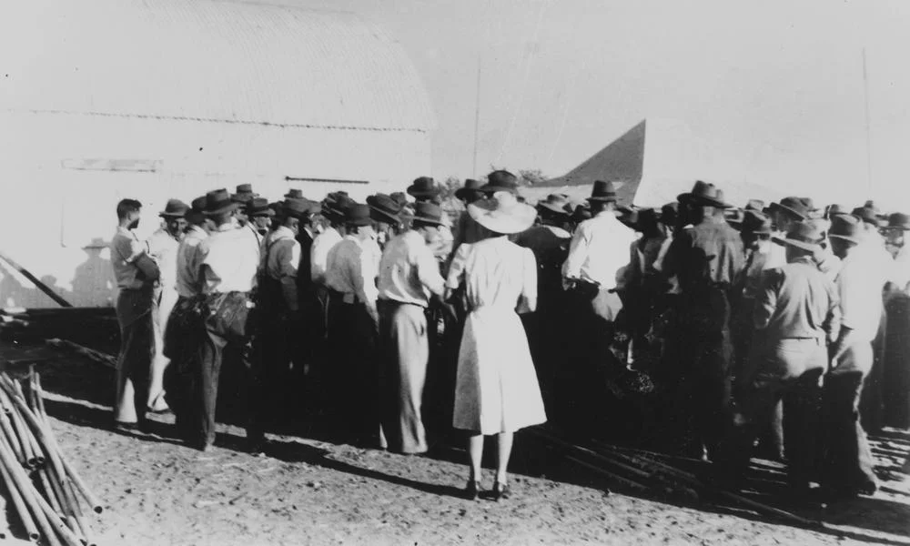

Wellshot Station
By 1892, no station anywhere in the world ran more sheep than Wellshot. Not by area, though it had that too, but by sheer animal numbers: nearly half a million head spread across the dry plains south of Ilfracombe. The town itself was originally called Wellshot, because for a time the station simply was the district. To stand where the homestead block once spread is to stand at the centre of one of the great pastoral empires of inland Queensland, a place where water was hunted underground at 3,500 feet, where shearers walked off the job and changed Australian history, and where a flock of thirty thousand ewes once set off on foot for a town seven hundred kilometres away.
A Million Acres and a Scottish Name
Wellshot began in 1872, when Alexander Buchanan took up a million acres of country here. To develop it, he turned to Scottish and New Zealand money, the New Zealand and Australian Land Company, based in Scotland, and the run took its name from a major shareholder's estate near Glasgow. By 1876 the property sprawled across roughly 1,821 square miles, running west to the Thomson River. The challenge was never grass; it was water. Neither the river nor the creeks ran reliably, and average rainfall was a meagre 22 inches that fell at unpredictable times. So the station managers went to war with the climate, excavating 48 reservoirs and sinking bores as deep as 3,500 feet until they had a dependable 1.3 million gallons a day.
Where a Union Was Born
In 1886, trouble came at shearing time. The shearers refused the conditions their employer offered and walked off. Word spread fast across the surrounding runs, and the men marched on Blackall by way of Portland Downs, Isis Downs and Thornleigh, gathering numbers until more than six hundred had joined. Out of that walkout grew the shearers' union, one of the seeds of the Australian labour movement. It is worth remembering what these men were actually demanding: fair pay and tolerable conditions for brutally hard, back-bending work done in heat that could be murderous. The flashpoint was a sheep station in the middle of nowhere, but the consequences reached all the way to the founding of a national political movement.
The Great Drove and the Numbers
The scale of Wellshot in its prime is hard to grasp now. In 1897 the property carried 387,000 merino sheep and produced 5,801 bales of wool in a single clip. When drought bit in the 1890s, the Tibbett brothers performed one of the legendary droves of the era, walking 30,000 ewes from Wellshot to Roma, more than 700 kilometres, in search of grass. The sheep were shorn at Roma, and as relieving rains finally fell back home, lambing began. The brothers brought the flock back with an extra 3,000 lambs. Picture it: a slow river of wool and dust stretching to the horizon, shepherded across half of Queensland by a handful of men on horseback.
Life, Death and the Long Decline
A station this size was a small world. James Inglis managed it from 1906 to 1925, and his son Eric, who later served with the 11th Light Horse in the First World War, recalled a workforce of jackaroos, an overseer, a bookkeeper, a blacksmith, an engineer, a horse boy, and musterers, with a married couple to cook and keep house. The country took its toll. In 1935 a station hand named Reuben Hunt was bitten by a caterpillar that fell into his shirt at lunch; he broke out in a violent rash, began vomiting, and died on the way to the Longreach hospital. That December the station recorded 122°F. The lease expired in 1948, the land was cut up for closer settlement, and the sheep, some 30,000, were trucked away. Today the Wellshot Centre in Ilfracombe keeps the memory of the giant run alive.
From the Air
Wellshot Station lies at 23.89°S, 144.44°E, roughly 45 km south of Ilfracombe and about 175 km north of Jundah, on flat western Queensland grazing country between the Thomson and Barcoo systems. From the air, look for the geometry of station dams, tanks and bore drains scattered across otherwise featureless plains, the legacy of the property's century-long fight for water. Recommended viewing altitude is 2,500-5,000 ft AGL; the low relief means long visual range in clear air but heavy heat shimmer in summer. Nearest sealed airport is Longreach (ICAO YLRE), about 35 nm north; Ilfracombe has a local airstrip. Watch for unforecast dust and, after rare heavy rain, sheet flooding that can transform the channel country overnight.
Nearby Stories
- Australian Stockman's Hall of Fame 13 km away
- Central Queensland 13 km away
- Alice River (Barcoo River tributary) 23 km away
- Old Isisford District Hospital 24 km away
- Lochern National Park 50 km away
- Blackall, Queensland 73 km away
- Warbreccan 110 km away
- Bladensburg National Park 125 km away