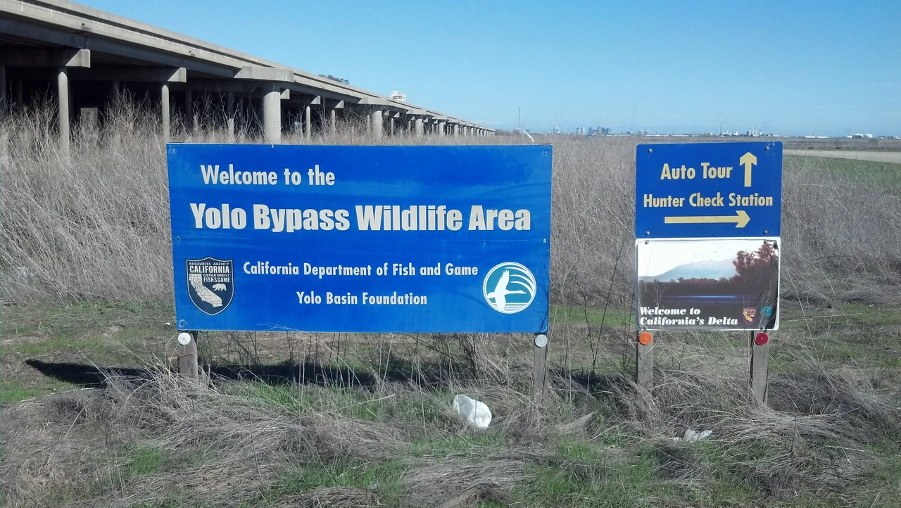
Yolo Bypass Wildlife Area
Every April 1, the plugs come out. Ponds across the Yolo Bypass Wildlife Area drain to bare mud, left to bake under the Central Valley sun for months. It looks like abandonment, but it is precision agriculture for birds. The drying triggers the germination of swamp timothy, a grass whose tiny seeds will feed tens of thousands of migrating waterfowl when the ponds refill in September. This annual rhythm of flood and drought, destruction and renewal, is the governing principle of 16,000 acres of managed habitat wedged between Interstate 80 and the Sacramento River, where wildlife managers have turned a flood control channel into one of the largest wetland restoration projects west of the Florida Everglades.
Built by a Congressman, Shaped by Ducks
The wildlife area opened to the public in 1997, after Ducks Unlimited completed extensive restoration work funded through the U.S. Army Corps of Engineers. Two years later, the 3,700-acre project was named the Vic Fazio Yolo Wildlife Area in honor of the congressman who had lobbied hard for the federal appropriation. But Fazio's legacy was just the beginning. In 2001, the acquisition of the Glide and Los Rios properties pushed the wildlife area to over 16,000 acres. The largest parcel, the 10,000-acre Tule Ranch, had been a working cattle ranch owned by the Glide family for more than 130 years. Its vernal pools and grasslands added an entirely new dimension to a refuge originally conceived around seasonal wetlands.
A Landscape That Changes with the Calendar
The wildlife area is not one habitat but many, each managed on its own timetable. Seasonal wetlands dominate the northern sections, drained in spring and reflooded in fall to create a conveyor belt of food for the Pacific Flyway. Permanent wetlands stay flooded year-round, providing brood water for mallards, common moorhens, and pied-billed grebes, and roosting sites for black-crowned night herons and white-faced ibis. In the uplands, northern harriers and western meadowlarks nest in grass dominated by annual rye, curly dock, and wild sunflower. Rodent populations in these fields sustain large numbers of wintering raptors. Along Putah Creek, a ribbon of riparian forest shelters Swainson's hawks, great-horned owls, and wood ducks, while neo-tropical migrants like blue grosbeaks and ash-throated flycatchers pass through on their way north.
Fairy Shrimp and Ancient Pools
In the southwest corner of the wildlife area, roughly 1,800 acres of natural uplands harbor a rarer treasure: vernal pools. These shallow depressions fill with winter rain and dry completely by summer, creating an ephemeral world inhabited by creatures found almost nowhere else. Tadpole shrimp and clam shrimp hatch from eggs that can survive years of drought in the soil. The endangered conservancy fairy shrimp, a translucent creature barely an inch long, depends on these exact conditions. The pools also support rare plants, including Heckard's pepperweed and Ferris' alkali milk-vetch. It is a landscape that looks unremarkable from the road but harbors some of the most threatened biodiversity in California.
Where Rice Feeds Both Markets and Migrations
Agriculture is not an intrusion here but a management tool. In the northern portions of the wildlife area, rice paddies serve double duty: harvested for income in fall, then flooded through winter to attract thousands of waterfowl visible from the cars streaming along Interstate 80. Wildlife managers rotate the rice fields on a three-year cycle, allowing one year in every three to lie fallow. During fallow years, they flood the fields in midsummer for migratory shorebirds. On the Tule Ranch, cattle graze fields of burr clover that also provide forage for snow geese and white-fronted geese. The cattle are themselves a habitat management tool, their grazing removing thatch from thick stands of rye grass so native wildflowers can germinate, producing the spectacular spring blooms that carpet the grasslands.
A Quarter-Million Bats at Rush Hour
The most dramatic residents of the wildlife area do not live in its wetlands at all. Approximately 250,000 Mexican free-tailed bats roost in the expansion joints of the Yolo Causeway, the Interstate 80 bridge that crosses overhead. Every summer evening, the bats pour out from beneath the concrete in a spectacle that draws crowds for the Yolo Basin Foundation's popular bat tours. The wildlife area is open every day except Christmas for wildlife viewing and fishing, and the Foundation conducts tours, open houses, and a speaker series. Each February, California Duck Days brings an annual wildlife festival with educational exhibits and field trips. The Discover the Flyway program brings roughly 4,000 schoolchildren a year to the wildlife area, teaching wetland ecology not from textbooks but from the mud and the birds and the smell of marshwater under a valley sun.
From the Air
Located at 38.55N, 121.63W in the Sacramento Valley, the wildlife area is a broad patchwork of wetlands and agricultural fields visible between I-80 and the Sacramento River. The Yolo Causeway bridge crossing is a distinctive landmark. Sacramento Executive Airport (KSAC) is approximately 8nm east; Sacramento International (KSMF) is 15nm north-northwest. Best viewed at 2,000-3,000 feet AGL when seasonal wetlands are flooded (October-March), creating a mosaic of reflective ponds against green and brown fields. Davis (KEDU) lies immediately to the west.
Nearby Stories
- Cosumnes River Preserve: The Last Free-Flowing River 6.5 km away
- The Warehouse on Oakdale Road 10 km away
- The Stone Chapel That Survived Everything 14 km away
- Four Names, Three Wars, Nine Missiles 18 km away
- Gold Country 24 km away
- Rico Harris 29 km away
- New Melones Dam 55 km away
- Malakoff Diggins State Historic Park 57 km away