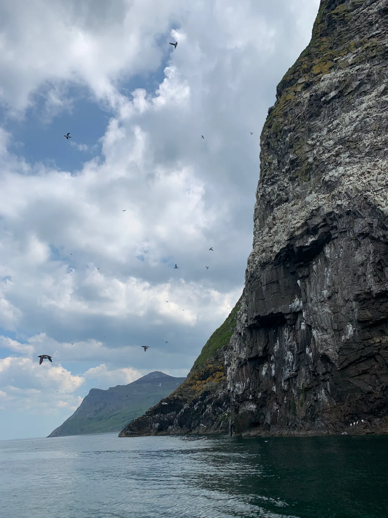

Yr Eifl
The Welsh name does not mean what the English think it means. Yr Eifl, the three peaks dominating the north coast of the Llyn Peninsula, picked up the English nickname The Rivals somewhere along the line -- presumably from sailors and travellers who heard Yr Eifl and thought of rivalry. The name actually means The Fork, after the way the peaks splay apart when seen from the right angle along the coast. There are three of them. Garn Ganol in the centre at 561 metres, Tre'r Ceiri to the southeast at 485 metres, and Garn For nearest the sea at 444 metres. From the central summit on a perfectly clear day, you can see four countries -- Wales beneath your feet, England's Lake District to the east, Ireland's Wicklow Mountains to the west, and the Isle of Man between them.
The Central Summit
Garn Ganol is the highest point on the entire Llyn Peninsula. The Ordnance Survey used to mark it at 564 metres; a more recent survey adjusted that down to 561. An ancient cairn crowns the top -- prehistoric, of unknown date -- and beside it stands a modern trig point. The summit catches weather coming in from every direction. The Irish Sea is just a few miles to the north and northwest, and on the worst days clouds roll across the peaks like surf. On the best days, the view is one of the longest in Britain. Cardigan Bay sweeps south past Aberdyfi to Aberystwyth and beyond. Across the water to the north, Holy Island and the bulk of Anglesey. To the east, the high peaks of Eryri -- Yr Wyddfa, Crib Goch, the Glyderau, the Carneddau -- all the way to the Berwyns. The Welsh have walked up here for several thousand years.
The Town of the Giants
On the southeastern peak, Tre'r Ceiri, sits one of the best-preserved prehistoric hill towns in Europe. The Iron Age people who built it around 200 BC, and the descendants who kept it going through the Roman occupation, left about 150 stone house foundations and a defensive wall that still stands four metres high in places. The name means Town of the Giants -- the Welsh word for giant is cawr, and cewri is the plural. Whoever named the ruined town did not know who had really built it, but they could see the work had been done at a scale beyond ordinary humans. A footpath climbs to the summit from the south. The view from inside the ancient wall takes in the Irish Sea on three sides and the whole forking line of Yr Eifl behind.
Garn For and the Quarry
Garn For is the northern summit, also called Mynydd y Gwaith -- the Mountain of the Works. It carries a microwave radio relay station, a few small cairns, and the visible scar of Trefor Granite Quarry on its seaward flank. The quarry produced granite so dense and water-resistant that it became one of only two stones in the world used for Olympic curling stones -- the other being Ailsa Craig in Scotland. Some of the stones at the 2006 Winter Olympics in Turin came from this peak. The cliff face on the north side, called Trwyn y Gorlech, drops sharply to the Irish Sea. Between Garn For and Garn Ganol runs the pass called Bwlch yr Eifl. Across that pass, on the western slope of Garn Ganol beneath the cliff Graig Ddu, a deep cleft opens out: Nant Gwrtheyrn, Vortigern's Valley, the legendary refuge of the king who invited the Saxons to Britain.
Vortigern's Valley
The story is that Vortigern, the fifth-century British warlord who let Hengist and Horsa land in Kent and could not later get them to leave, fled to the wild end of north Wales when the Saxon takeover began. He hid, the legend says, in the valley that still bears his Welsh name. Nant Gwrtheyrn was a quarry village in the nineteenth and twentieth centuries -- the buildings on the valley floor housed quarrymen who worked the granite of Yr Eifl. By the 1960s the village was abandoned, the houses falling apart. In the 1970s and 1980s it was bought, restored, and reopened as the National Welsh Language Centre. Now people come to Nant Gwrtheyrn to learn to speak Welsh, on the same valley floor where, by tradition, the British king who lost Britain spent his last years. A private road runs down to the village. The walk in from the pass is steeper but more memorable.
From the Air
Yr Eifl is a prominent terrain feature on the north coast of the Llyn Peninsula at 52.97N, 4.44W. Three distinct peaks visible from any direction: Garn Ganol (561 m / 1,841 ft) in the centre, Tre'r Ceiri (485 m / 1,591 ft) southeast, Garn For (444 m / 1,457 ft) seaward. Maintain safe altitude in mountain weather; cloud caps form on the peaks routinely. Nearest airport: Caernarfon (EGCK) about 9 nm northeast; Llanbedr (EGOD) further south. Best viewed at 3,500-5,500 ft AGL flying along the coast. From the right altitude on a clear day the three peaks look exactly like the fork the Welsh name describes.
Nearby Stories
- GeoMôn 1.9 km away
- Battle of the Conwy 3.2 km away
- Irish Sea Bridge 5.2 km away
- Ysbyty Ifan 10 km away
- Machynlleth 16 km away
- Barmouth Lifeboat Station 23 km away
- Irish Sea 27 km away
- HMS Tyler 32 km away