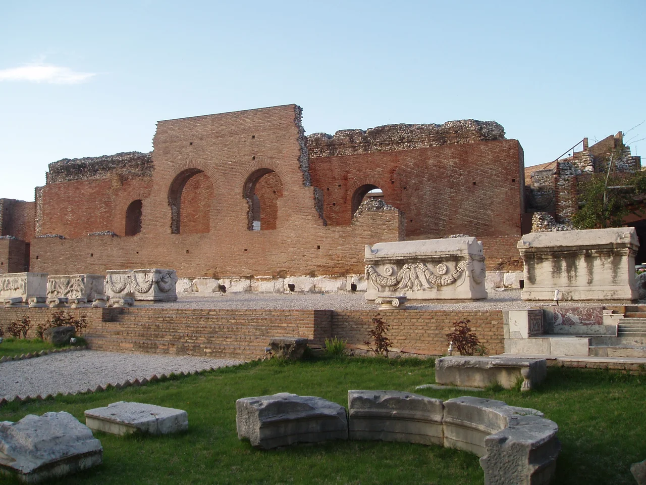

Achaea (Ancient Region)
Homer called all the Greeks Achaeans, using the term loosely throughout the Iliad as a name for the whole coalition at Troy. Yet the specific region he almost certainly did not mean was the strip of northern Peloponnese coast that would later bear the name Achaea. That land was called Aegialus — coastal country — in Homer's time, and its people were Ionians. The Achaeans arrived later, pushed out of the Argolis by Dorian invaders, forcing the Ionians westward to Athens and taking the coast for themselves. The Ionians got the name; the Achaeans got the land. History, in Achaea, has always been like that: layered, renamed, contested.
The Twelve Cities and Their League
Ancient Achaea was not one city but twelve: Dyme, Olenus, Patras, Pharae, Tritaea, Aegium, Boura, Helike, Leontium, Rhypes, and Aegae, among others recorded by ancient sources. They were strung along the narrow coastal plain and lower slopes of the northern Peloponnese, backed by the mountains of Arcadia to the south and fronting the Gulf of Corinth to the north. The plain around Dyme in the west was the most open agricultural land; most of the rest was mountainous.
As early as the Archaic period, these cities formed a confederation — the Achaean League — with shared religious and cultural functions. The league had ancient roots, but in the 3rd century BC it became something more formidable: a political and military alliance that played a significant role in the Hellenistic Greek world. During the 5th century BC the Achaean cities had remained largely neutral in the Persian Wars and stayed out of most of the conflicts between Athens and Sparta. Neutrality was their default. They preferred federation to dominance by any single power.
A City Swallowed by the Sea
In 373 BC, one of the Achaean cities ceased to exist entirely. Helike, on the southern shore of the Gulf of Corinth, was destroyed by an earthquake and then inundated by a tsunami. Ancient sources describe "immense columns of flame" in the days before the earthquake — the earliest recorded description of earthquake lights, the luminous phenomenon now known to science. The quake struck at night. Helike subsided into the water, and the Gulf of Corinth rushed in. Every inhabitant perished. The city of Boura, further inland, was also destroyed.
Ancient writers were fascinated by Helike's sudden disappearance. Plato may have drawn on the story for his account of Atlantis. For centuries, fishermen claimed to see the ruins of the city beneath the water. Modern archaeological work has located the site buried not under the sea but under coastal sediment deposited over two millennia. The columns of light that preceded the disaster have since been documented at other earthquake sites and remain an active area of scientific research.
Between Great Powers
Achaea spent the classical period trying to stay out of larger conflicts, but the larger conflicts kept finding it. In 367 BC, during Epaminondas' third invasion of the Peloponnese, the Achaean cities allied with Thebes. When oligarchs retook control, the cities switched back to the Spartan side. At the Battle of Mantinea in 362 BC, the Achaeans fought alongside Sparta, Athens, and Mantinea against Thebes.
King Philip II of Macedon ended that era of shifting alliances at the Battle of Chaeronea in 338 BC, where the Greek coalition — including Achaea — was defeated, and Greece entered Macedonian dominance through the Corinthian League. After Alexander's death, the region was drawn back into the conflicts of his successors. The Achaean League revived in the 3rd century BC under more ambitious leadership, becoming one of the more coherent political structures in a fragmented Greek world, before being absorbed by Rome when Achaea was conquered in 146 BC.
Under Rome, Almost Freely
Rome conquered Achaea in 146 BC, but the occupation was, by Roman standards, light. Emperor Augustus made it a senatorial province, administered by a proconsul of praetorian rank with his seat at Corinth. No Roman garrisons were posted in the region. Native religious and social institutions were tolerated. A degree of self-determination that other Roman provinces might have envied was commonplace among the Greek communities of Achaea.
The region appears in the New Testament — Acts 18:12 refers to the proconsul of Achaea — and Pausanias, the 2nd-century AD travel writer, devoted an entire book of his Description of Greece to the ancient region, indicating that the local use of the name had survived unchanged from the Classical period. When the Roman Empire eventually fell apart, the name Achaea was attached to a crusader principality, then to Byzantine themes, and eventually to the modern regional unit of Greece. The name that arrived with a displaced tribe, replacing the Ionians who displaced the original inhabitants, has proven more durable than almost anything else from the ancient world.
From the Air
Ancient Achaea corresponds to the northern coastal strip of the Peloponnese, centred roughly at 38.09°N, 21.86°E. From the air, the region is defined by the Gulf of Corinth to the north, the mountains of Arcadia to the south, and the Gulf of Patras at its western end. The coastline runs roughly east-west for approximately 100 km. The modern city of Patras (ancient Patrai) is the dominant urban feature visible from altitude. Nearest major airport: LGRX (Araxos Airport), situated on the northwestern coast of the Peloponnese approximately 40 km west-southwest of Patras, directly on the shore of the Gulf of Patras. The Rio–Antirrio Bridge is visible to the northeast of Patras where the gulf narrows to the Rion Strait.
Nearby Stories
- Pellene 3.9 km away
- First Siege of Missolonghi 5.5 km away
- Battle of Manolada 8.4 km away
- Barony of Akova 8.7 km away
- Desfina 11 km away
- Panagia Skafidia Monastery 15 km away
- Battle of Naupactus 15 km away
- Tomb of Clytemnestra 24 km away