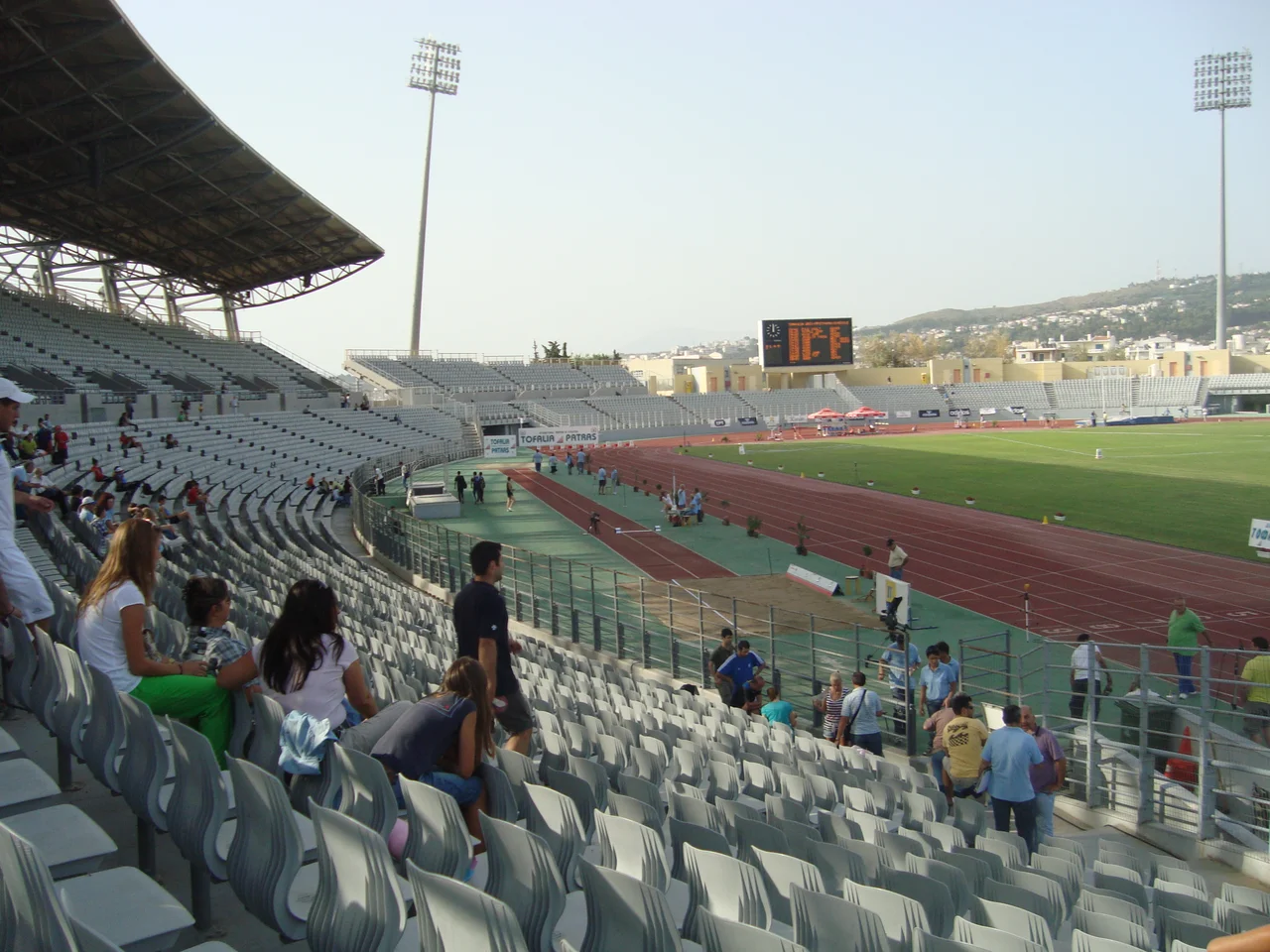

Achaea
The Greek War of Independence began, in one meaningful sense, at Agia Lavra monastery in the hills above Kalavryta, where Bishop Germanos of Patras is said to have raised the flag of revolt in March 1821. Whether that precise moment was as ceremonial as legend holds is debated, but what is not debated is that Achaea was among the first regions in Greece to throw off Ottoman rule, and that all of it was liberated by the end of that same year. The modern regional unit of Achaea — the northwestern corner of the Peloponnese, built around the port city of Patras — carries that history lightly but proudly. It is a place that has always been at the edge of things: the edge of the Peloponnese, the edge of the sea, the edge of where one world ends and another begins.
Mountains Down to the Water
Achaea occupies the northwestern Peloponnese, bordered by Elis to the west, Arcadia to the south, and Corinthia to the east. The Gulf of Corinth lies to the northeast; the Gulf of Patras opens to the northwest. It is a region of surprising verticality. Aroania mountain rises to 2,355 metres, Erymanthos to 2,224 metres, and even the coastal peak of Panachaiko reaches 1,926 metres above the shore of the Gulf of Patras. Snow stays on these mountains through the winter, feeding rivers — the Larissos, Peiros, Selinountas, and Vouraikos among them — that run down to the sea.
The forests of the mountain ranges are dense and largely intact. At mid-elevations, grasslands take over, and the highest ground turns barren. The coastline, by contrast, is mild, with hot summers and winters warm enough that frost is uncommon near the water. Patras, at sea level, experiences a classic Mediterranean climate; in the mountains above Kalavryta, the same winter brings heavy snow. The narrow-gauge railway that winds up the Vouraikos gorge from Diakopto to Kalavryta runs 30 kilometres through some of the most dramatic terrain in the Peloponnese.
Patras: Third City of Greece
Patras is the capital of Achaea and the third-largest city in Greece, after Athens and Thessaloniki. The 2021 census recorded 169,886 people in the city proper. Two-thirds of all Achaeans live in or near Patras; more than half live within the city limits. It is, by Greek standards, a heavily urbanised regional capital, and the rest of the region — towns like Aigio (19,857) and Kato Achaia (7,689) — exists at a considerable scale below it.
Patras has been a significant port since antiquity. The modern city sits on three levels rising from the waterfront to the medieval castle above, with the commercial centre and old harbour in between. It is the main ferry port connecting Greece to Italy and the departure point for boats to the Ionian islands. The Rio–Antirrio Bridge, a few kilometres to the northeast, ended the old isolation of the Peloponnese from the mainland; before 2004, the ferry crossing at Rio was one of the only quick connections. The Ionia Odos motorway now runs from the bridge north through western Greece all the way to Ioannina.
Layers Upon Layers
Modern Achaea was Roman Achaea was Byzantine Achaea was the Principality of Achaea was part of the Despotate of the Morea and then the Ottoman Empire. Each layer left something. The Principality of Achaea, a crusader state founded in 1205 after the Fourth Crusade, controlled a much larger territory than the region today, extending across the Peloponnese. Patras became semi-autonomous under Venice and the Latin Archbishopric. Kalavryta was lost to the Byzantines by the end of the 13th century. The rest of the principality fell to Byzantium in 1430, then to the Ottomans in 1460, then to Venice in 1687, then back to the Ottomans in 1715.
Six and 7th-century Slavic settlers reached the Peloponnese during the Byzantine period; the coastal cities, including Patras, held out. A siege of Patras in 805 or 807 failed. By the end of the 9th century the Byzantines had reasserted control over the whole peninsula. What arrived from Asia Minor in the 1919–1922 period was different in kind: tens of thousands of Greek refugees from Turkey, relocated after the Greco-Turkish War, settled in camps in the suburbs of Patras and along the coastline. One of those camps was named Prosfygika. Their descendants are part of Achaea's population today.
From the Monastery to the Stars
At Agia Lavra, the hillside monastery west of Kalavryta, Greeks who visit are reminded of March 1821 and the revolution that began here. A few kilometres east, the Cave Lakes hold actual lakes inside a cavern, their lengths running somewhere between 300 and 500 metres through the limestone. On the mountain above, the National Observatory of Athens operates the Aristarchus telescope — named for Aristarchus of Samos, the ancient Greek astronomer who first proposed that the Earth orbits the sun — the most modern telescope in Greece.
Achaea has given Greece several prime ministers, including Andreas Michalakopoulos and Alexandros Zaimis, who also served as President. It gave Greek literature Kostis Palamas, considered the national poet. It gave football an unlikely hero in Kostas Katsouranis, who played for Panachaiki before becoming a European Champion at Euro 2004. The region is also home to Promitheas Patras, one of the more competitive basketball clubs in Greek history. The narrow rail line through the Vouraikos gorge, the ski slopes on Aroania and Panachaiko, the ferry terminal at Patras, the soaring bridge at Rio — these are the things that define Achaea's present. They sit on top of a past that runs from Neolithic dolmens to Byzantine themes to Ottoman rule to the revolution to refugees to the present day, each layer pressed down into the landscape by the weight of whatever came after.
From the Air
Modern Achaea centres on Patras at approximately 38.25°N, 21.73°E on the northwestern Peloponnese coast. From altitude, the region is defined by the dramatic mountain ridges — Aroania and Erymanthos to the south, Panachaiko above the coast — descending to the Gulf of Patras to the north and the Rion Strait to the northeast. Nearest major airport: LGRX (Araxos Airport), on the coast approximately 40 km west of Patras on the Gulf of Patras — a flat coastal site easily identifiable from the air. The Rio–Antirrio Bridge is visible at the eastern end of the gulf where it narrows to the Rion Strait. Approach from the west offers clear views of the entire region; the vertical relief from sea level to 2,300+ metres is impressive over a relatively short horizontal distance.
Nearby Stories
- Pellene 3.9 km away
- First Siege of Missolonghi 5.5 km away
- Battle of Manolada 8.4 km away
- Barony of Akova 8.7 km away
- Desfina 11 km away
- Panagia Skafidia Monastery 15 km away
- Battle of Naupactus 15 km away
- Tomb of Clytemnestra 24 km away