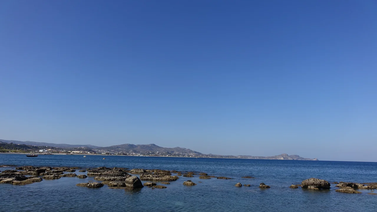

Aegean Sea
A king stood on a cliff at Athens, watching for his son's ship to return from Crete. The deal had been simple: white sails if Theseus had killed the Minotaur and lived, black sails if he had died. Theseus lived, but in the rush of triumph he forgot to change the sails. His father Aegeus saw black on the horizon, believed his son dead, and threw himself into the water below. The sea has carried his name ever since. It is a fitting origin for a body of water the Greeks knew as treacherous and beautiful in equal measure, the same sea Homer called wine-dark, scattered with islands you can step across like stones.
A Sea of Two Thousand Islands
The Aegean is technically an arm of the Mediterranean, an elongated bay reaching up between the Balkans and Anatolia, but no map captures how full it is. Some two thousand islands rise from its 215,000 square kilometers, gathered into clusters with names like incantations: the Cyclades, the Dodecanese, the Sporades, the Saronic islands. Many are simply the peaks of drowned mountain ranges, the same ridges that corrugate the mainland continuing on beneath the water and surfacing as Chios, Samos, Naxos, Rhodes. The sea bottom plunges to 2,639 meters west of Karpathos, but between the islands the water is shallow, bright, and busy. This density is the whole point. The islands were stepping stones, and on them a civilization learned to sail.
The Cradle
Long before there was a Greece, there was the Aegean, and around it grew the first advanced civilizations of Europe. On Crete the Minoans built palaces like Knossos and traded across the eastern Mediterranean for a thousand years. On the mainland near the coast, the Mycenaeans raised fortified citadels and wrote the first records of the Greek language in a script called Linear B, a script that fell silent when their world collapsed into the Greek Dark Ages. Out of that darkness the Greeks borrowed the Phoenician alphabet, reshaped it into their own, and emerged into the classical age. The sea remained the stage. In 480 BC, in the strait near Salamis, an outnumbered Athenian fleet shattered the navy of Persia and turned back the empire's advance into Europe.
Empires on the Water
Whoever wanted the Aegean had to take it island by island, and many tried. Rome absorbed it, then the Byzantines held it against wave after wave of challengers. In the 820s, exiles from Muslim Spain seized Crete and turned it into a corsair state that raided the Byzantine coast for over a century before the empire clawed it back. The Fourth Crusade in 1204 splintered Byzantine power, and Venice carved out a maritime realm here, the Duchy of the Archipelago, ruling much of the Cyclades. Then came the Ottomans, who held the sea for more than five hundred years, all of it except Crete, which stayed Venetian until 1669. Not until the Greek War of Independence did a Greek state return to these shores, in 1829.
Light, Salt, and Dispute
Stand on any Aegean shore today and the first thing you notice is the light, that hard clarity the Etesian winds bring in summer, scouring the haze from the sky. The water circulates in a slow counterclockwise gyre, dense salty Mediterranean water sliding north while cooler outflow from the Black Sea spills south past the islands. Santorini and Milos, born of volcanoes, blush red and ochre at the waterline. But the sea is also a border, and a tense one. A handful of islands belong to Turkey, the rest to Greece, and the two nations have argued for decades over territorial waters, airspace, and the rights to what lies beneath the seabed, a quarrel known simply as the Aegean dispute. Even now, the wine-dark sea has not finished being contested.
From the Air
The Aegean stretches roughly from 35°N to 40°N and 23°E to 28°E, an elongated basin between Greece to the west and Turkey to the east, connected to the Sea of Marmara through the Dardanelles in the northeast. From altitude the defining feature is the sheer number of islands, the Cyclades clustered in the south-center, the Dodecanese hugging the Turkish coast, the long island of Euboea in the west. Major airports ringing the sea include Athens International (LGAV), Thessaloniki (LGTS), Heraklion on Crete (LGIR), Rhodes (LGRP), and Izmir (LTBJ) on the Turkish side. Clearest viewing comes in the dry, wind-scoured Etesian season of high summer; haze and strong gusts are common in the central straits.
Nearby Stories
- Skyros 7.8 km away
- Volissos 25 km away
- Mastichochoria 29 km away
- Carystus 38 km away
- Greek Islands 38 km away
- Oktonia 39 km away
- Eresos 43 km away
- Sigri (village) 74 km away