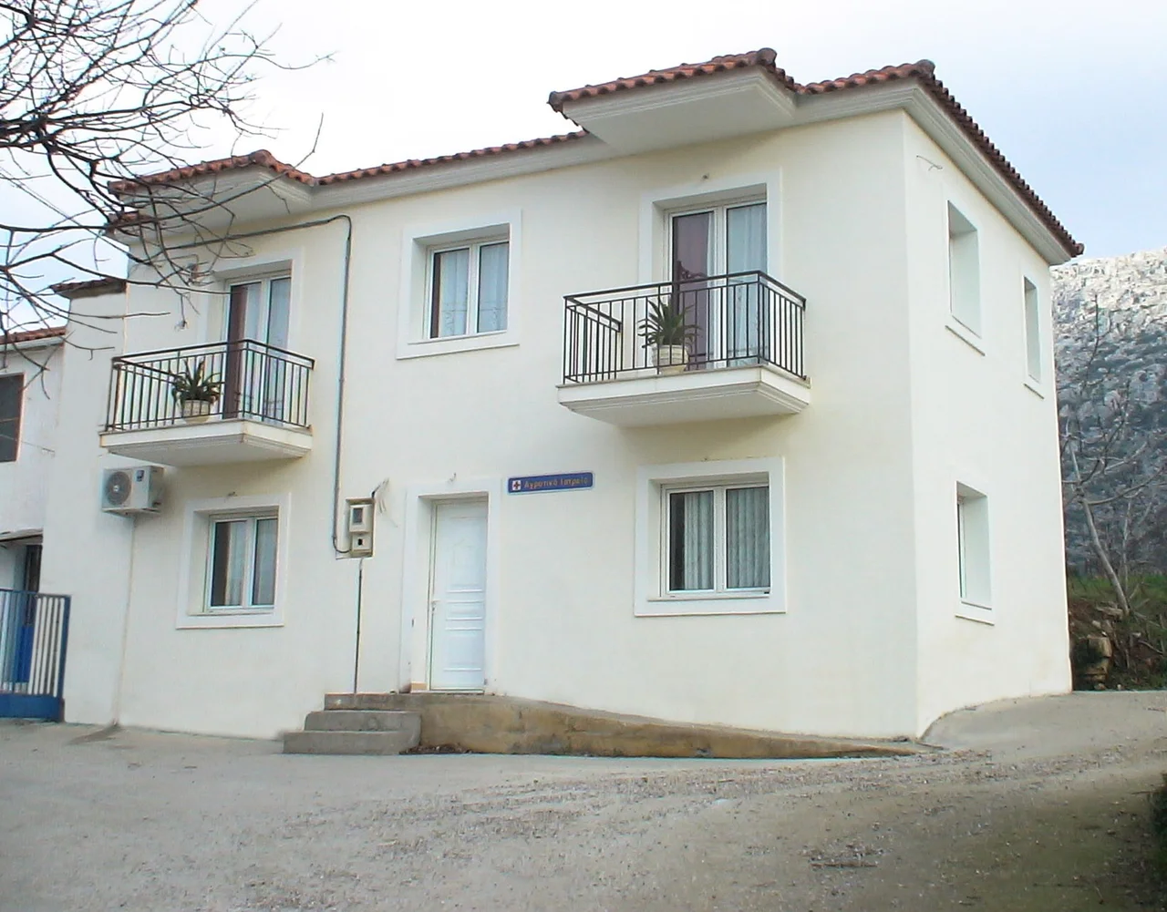

Oktonia
On the bare flank of Kallimani Mountain, the scorch marks have never quite healed. Two centuries ago, in the years that led to the Greek revolution of 1821, the Ottomans burned these slopes, and the mountain above the village of Oktonia still wears that fire as a kind of memory, its upper reaches stubbornly bald above the dense forest below. Oktonia is not one village but four, settlements named Alonia, Panochori, Katochori, and Panagia, spread across a broad shoulder of land 400 meters up, with the Aegean glittering beyond the hill of Oksilithos.
Castles That Spoke in Fire
On the slopes of Kallimani stands Kastri, named for the medieval castle whose ruins crown the mountain. It was not alone. From the Kastro you could see the Castle of Dragoneras, the Tower of Kipon, and others scattered across the region, and at night these strongholds talked to one another by torchlight, a chain of signal fires flickering across the dark hills. In the tense years before the 1821 revolution, the villagers of Oktonia fled to these fortresses when the forces of the Pasha of Karystos came. The castle held until betrayal opened it. After a treasonous act, it was besieged and bombarded; the women and children escaped, the old and the weak were killed, and the fighters slipped into the mountains to regroup. In revenge, the attackers burned the monastery and the country around it.
The Abbot and the Painted Church
Below the castle stands the church of St. Demetrios of the Waterfall, and its walls hold a quieter testimony than the burned mountain. The monastery that once stood here was a center of the independence movement, a place that inspired fighters and supplied the revolutionary ships anchored in the sea of Markourio. That role cost its abbot, Paisios, his life: he was captured and executed by impalement, a death meant to terrify as much as to punish. Inside, the church is covered floor to ceiling in post-Byzantine paintings from around 1600, dense with religious scenes rendered in vivid, original color. In 1921 the Greek state declared it a Prominent Monument, ranking it among treasures like the monasteries of Daphni and Hosios Loukas.
Caves, Fountains, and the Long View
Oktonia is a place of water and stone. Ornate fountains, some old, some new, are scattered through its four settlements, each with a name and a story: Marinou, Sgourou, Voivonta, Soor. Along ten kilometers of coast lie quiet beaches, and the hills are riddled with caves. Some sheltered villagers fleeing the Turks, who waited along Cape Punta for a passing Greek ship to carry them to safety. Others hold deeper time still: in caves around Kallimani, researchers have found ceramics and bones from the Proto-Helladic period, more than four thousand years old. From the summit, 750 meters up, the view opens across the whole eastern sea, Skyros and the northern Sporades floating on the horizon.
From the Air
Oktonia lies at about 38.53°N, 24.16°E on the east-central coast of Euboea, a cluster of settlements at roughly 400 m elevation below the bald summit of Kallimani (750 m). From the air, look for the contrast between the forested lower slopes and the bare mountaintop, with a ten-kilometer ribbon of coast and the Aegean stretching toward Skyros. Nearest major airport is Athens International (LGAV), roughly 95 km southwest; Skyros Island National (LGSY) lies across the water to the northeast. Best viewed from 4,000-6,000 ft in clear conditions.
Nearby Stories
- Battle of Tanagra (457 BC) 1.9 km away
- Agia Anna (Evvia) 11 km away
- Rhamnous 12 km away
- Anthedon (Boeotia) 13 km away
- Battle of Andros (1790) 36 km away
- Skyros 39 km away
- Aegean Sea 61 km away
- Sigri (village) 115 km away