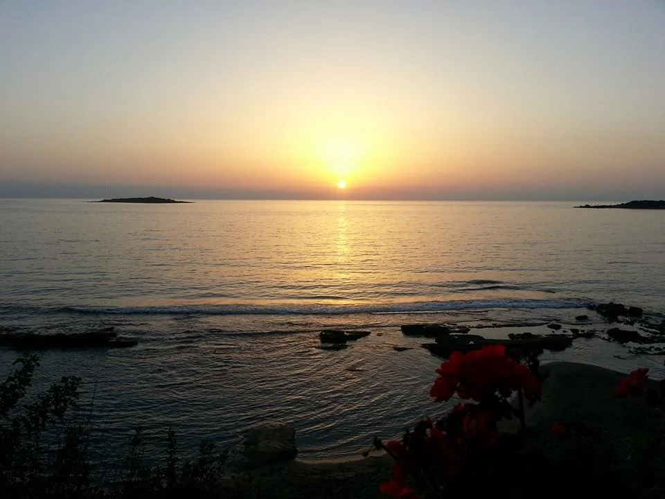

Agios Andreas, Katakolo
Homer mentioned this place twice, which was no small thing. The town of Pheia, sitting on its bay above the Ionian coast, appeared in both the Iliad and the Odyssey — a port city significant enough that the poet found reason to name it in two separate works. Thucydides noted it during the Peloponnesian War. Xenophon visited. Strabo and Polybius and Pausanias all recorded it. Then an earthquake in the sixth century AD swallowed most of it into the sea. What the earthquake left, successive centuries claimed: Byzantine fortress, Frankish castle, Ottoman fire. Today a small settlement called Agios Andreas occupies the site, and most of the ancient city lies submerged in the bay a few meters offshore.
A Port the Ancients Knew Well
Pheia was a working harbor, not a monument. Clay lamps, bowls, drinking cups, amphorae, storage jars — the objects excavated in 1957 by archaeologist Nikos Gialouris are the debris of a port that received and sent out ships for centuries. Among the finds were a kouros statue from Naxos in the Archaic period and Cycladic figurines, evidence that trade reached far into the Aegean. Ostraca — pottery fragments used for writing — span the full range from prehistoric to Roman times. The findings are now in the Archaeological Museum of Olympia, 13 kilometers to the east, along with artifacts from the Roman-era cemetery on the islet of Ichthys (also called Tiganonisi) just offshore. Most of those graves were found looted. The sixth-century earthquake that killed Pheia was the same event that largely destroyed Patras and is credited with finishing the ruin of the Temple of Zeus at Olympia. It reshaped the regional coastline — possibly creating Lake Agoulinitsa to the north — and dragged much of Pheia's lower city into the sea.
Beauvoir: The Castle on the Drowned City
After the earthquake, the Byzantines built a fortress on the ruined acropolis. They called it Pontikokastro. After the Fourth Crusade, Frankish forces under William of Champlitte took the Peloponnese in 1205, and the fortress passed into the Principality of Achaea, the crusader state centered on nearby Andravida. The Franks renamed it Beauvoir — 'beautiful view' in French, Belveder in Italian, Pulchrumvidere in Latin — and along with the fortress at Glarentza, it became one of the two key sites from which the Franks governed Elis. The view from the headland is genuinely beautiful: the islet of Ichthys in the foreground, the island of Zakynthos visible across the water on clear days. The castle changed hands repeatedly. In 1289 it was granted to Hugh, Count of Brienne. He traded it to John Chauderon for lands in Conversano, Italy; by 1303 it had reverted to direct princely control. During Ferdinand of Majorca's attempt to seize the Principality in 1315–16, his forces captured Beauvoir and held it until his defeat and death at the Battle of Manolada. After that, the castle faded. The Navarrese Company took it in 1391, Constantine Palaiologos in 1427, his brother Thomas after him. The Turks burned it in 1470.
Saint Andrew and the Church on the Temple
The settlement that grew up here in later centuries took its name from a church dedicated to Andrew the Apostle, said to have passed through this coast on his missionary journeys. The church was built over the ruins of an earlier ancient temple. It eventually fell into ruin itself, and was rebuilt in 1930. That rebuilt church still stands on the site today — a Christian building on a pagan foundation, on a Byzantine acropolis, on a Frankish castle, on a Homeric port city lying in the shallows offshore. Each layer was built because the location mattered: the bay, the headland, the view to Zakynthos. The site has been meaningful for three thousand years, and the reasons have barely changed.
What the Water Covers
Most of ancient Pheia is gone — not destroyed above ground but sunk below the waterline, dissolved into the sediment of the bay. Divers can see the outlines of walls and foundations in the shallows. The islet of Ichthys still rises just offshore, and on clear days Zakynthos fills the southwestern horizon the way it always has. The small port of Katakolo, 2 kilometers from Agios Andreas, now serves cruise ships stopping on their way to Olympia — a function Pheia once performed for a different kind of traveler. The bay is the same bay. The reason to stop here is the same reason it has always been.
From the Air
Agios Andreas sits at 37.664°N, 21.311°E on the Ionian coast of Elis, 13 km northwest of Pyrgos. The headland is clearly visible from the air, projecting into the bay with the islet of Tiganonisi/Ichthys just offshore. On clear days, the island of Zakynthos is visible to the southwest. Approach over the Gulf of Kyparissia from the west at 3,000–5,000 feet; the port of Katakolo is identifiable to the southeast, and the drowned remains of Pheia lie just below the surface of the inshore bay. Nearest major airport is LGRX (Araxos), approximately 40 km to the north. Olympia is visible in the Alpheius valley to the east.
Nearby Stories
- Phigalia 6.2 km away
- Thelpusa 7.3 km away
- County Palatine of Cephalonia and Zakynthos 8.7 km away
- Ionian Islands 11 km away
- Battle of Manolada 12 km away
- Achaea (Ancient Region) 14 km away
- Strofades 31 km away
- Valletta 581 km away