Al Amarat, Khartoum
The streets of Al Amarat are numbered only in odds. First, Third, Fifth, all the way to 61st, running like a ladder between Africa Road to the east and Mohamed Naguib Road to the west. There is no 2nd, no 4th, no 60th. A grid planner in the early 1960s decided that single-direction numbering was cleaner, and so the neighborhood that became Khartoum's first high-rise district wears its orderly quirk forever. The name simply means "the buildings," because in the Khartoum of 1960, there had never been a district quite like it before.
Ibrahim Abboud's District
Al Amarat was founded in the early 1960s under General Ibrahim Abboud, Sudan's first military head of state. Abboud was a career soldier: he had served in World War II in Egypt and Iraq, risen to Deputy Commander in Chief of the Sudanese military in 1949, and become Commander in Chief at independence. He took power in a 1958 coup, held it as head of state from 1958 to 1964, briefly used the title of president, and then, to his credit, resigned when civilian protests made his position untenable. This ended Sudan's first period of military rule. On his watch, his government laid out Al Amarat as Khartoum's "South Amarat," planned for first-class and second-class buildings, and eventually, the district that would be known for its modern shops, its embassies, and the Arab Bank for Economic Development in Africa.
Fifty-Three Celsius
This is the Sahel at its most severe. Al Amarat shares Khartoum's hot semi-arid climate, BSh under the Köppen classification, which is the climatologist's way of saying that nine months of the year see less than 5 millimeters of rain, and temperatures in mid-summer can exceed 53 degrees Celsius. The average annual high is 37.1 Celsius. Six months of the year post average monthly highs of at least 38. The nights cool modestly; the lowest average low is just above 15 Celsius. This is heat that rearranges the day. Shopkeepers open early and close for the hottest hours. Embassy work happens behind thick stone walls and mechanical cooling. The only respite, reliably, comes in July and August, when a short rainy season brings the Sahel its brief green pulse.
Embassies, Apartments, and the Arab Bank
For sixty years, Al Amarat has been the prestigious address. The Arab Bank for Economic Development in Africa is here. Embassies took up quiet corner plots along the odd-numbered streets. The American School Khartoum served generations of expatriate and Sudanese families who could afford it. Apartment buildings, unusual in a city where most housing was low and sprawling, sprouted up first in this neighborhood and gave it the name that stuck: the Buildings. Restaurants opened along the main roads. For several decades after independence, this was where Khartoum's elite chose to live, and where many foreign professionals based themselves when work brought them to Sudan.
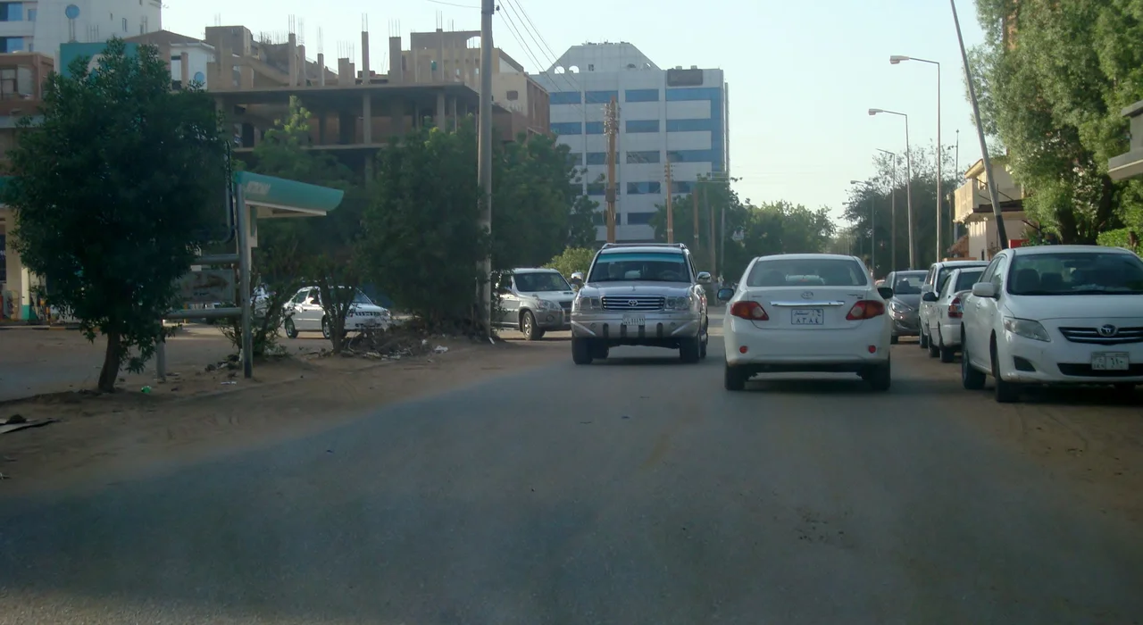
The District Now
Since the Sudanese civil war erupted on 15 April 2023, with Rapid Support Forces attacks on military bases and the presidential palace, Al Amarat has been at or near the frontlines of the urban fighting that has torn through the Khartoum metropolitan area. Embassies have evacuated. Apartments have been occupied and abandoned. The high-rise skyline that defined the neighborhood in its earliest days has absorbed artillery damage and the scars of pitched urban combat. The Sudanese Armed Forces retook Khartoum by March 2025, declaring it "free," but reconstruction in a city with more than five million residents and over 61,000 dead is not a task of months. The odd-numbered streets still run. The schools still bear their old names. Whether the prestige comes back depends on whether the people do.
A Plan That Worked
The remarkable thing about Al Amarat, even now, is that the plan worked. A district laid out for a specific purpose, in a specific decade, under a specific general, continued to function as that kind of district for six decades running. Its embassies drew more embassies. Its apartment buildings drew professionals who wanted neighbors, shops within walking distance, a school nearby. The numbering scheme kept anyone who knew the pattern from ever being lost. Boring, in the way that good urban planning is often boring. It is the kind of boring that Sudan, after all its revolutions and coups and wars, could stand a great deal more of. The streets of Al Amarat, first through 61st, odd numbers only, are a small argument for the virtue of a straight line in a city that has otherwise had to bend so often.
From the Air
Al Amarat lies at approximately 15.65°N, 32.48°E in central Khartoum, Sudan, bounded on the east by Africa Road and on the west by Mohamed Naguib Road. Nearest airport is Khartoum International (IATA: KRT, ICAO: HSSS), though it closed at the start of the 2023 civil war. Recommended viewing altitude 6,000-10,000 ft AGL to appreciate the Nile confluence and the tripartite metropolitan area of Khartoum, Omdurman, and Bahri.
Nearby Stories
- Kalakla 3.6 km away
- Esh Shaheinab 7.7 km away
- Naqa 39 km away
- Musawwarat es-Sufra 82 km away
- Gezira State 118 km away
- Northern Sudan 196 km away