Alsdorf
On 21 October 1930, an explosion in the Anna II coal mine killed two hundred seventy men and one woman, making it the second-worst mining disaster in German history. The bodies came out for days. The town the disaster gutted was Alsdorf, a place built almost entirely by coal - a network of company villages thrown together between 1860 and 1960 to house the workforce one mine company kept needing to expand. The Anna kept producing for another sixty-two years after the explosion. The Maria, the older mine four kilometers south in Hoengen, lasted only until 1962. When the last pit closed in 1992, Alsdorf had to invent itself again, and it did - quietly, without much help, by selling its location near three borders to whatever industry would buy.
Older than the Coal
Alsdorf appears in writing for the first time in 1191, in a Catholic Church document, and was likely much older than that already. For most of its history the place was a knot of small farming settlements - Alsdorf itself, plus Bettendorf, Hoengen, Ofden, Schaufenberg, Warden, and Zopp - whose political affiliation changed every few generations because they sat where three duchies overlapped. Pieces belonged to the Duchy of Limburg, others to the Duchy of Julich. Then the Duchy of Burgundy in 1430, then the Habsburgs from 1482, then the Spanish Netherlands from 1555 under the Spanish Habsburgs, then back to the Austrian Habsburgs in 1714, then French from 1794. The 1815 Congress of Vienna handed the whole tangle to Prussia, and Alsdorf stayed Prussian until the Allies abolished Prussia after the Second World War and folded its western provinces into the new state of North Rhine-Westphalia. Through all of this, Alsdorf was a village of about 1,200 people. Hoengen had about 1,400. The greater area held maybe 4,000 souls in total.
Coal Arrives
Coal production opened in Hoengen at the Maria Mine in 1849. The Anna mine in Alsdorf followed in 1853. The mining companies needed workers, more than the surrounding farmland could supply, so the companies built houses to attract them - Begau, Blumenrath, Broicher Siedlung, Busch, Kellersberg, Mariadorf, Neuweiler, Ofden, Ost, Zopp. These were not natural villages. They were strategic placements of housing stock, drawn up by the mine to keep its workforce within walking distance of the shaft. The strategy worked. In 1932 the villages of Kellerberg, Ofden, Schaufenberg, and Neuweiler were formally incorporated into Alsdorf, and the population jumped overnight from 11,500 to 19,711. The map of the modern city, divided into seventeen districts, is essentially a map of the company housing the mines built between 1860 and 1960.
The Anna II Disaster
Coal mining is dangerous everywhere. In the Aachen coalfield, the seams ran deep, gassy, and prone to methane buildup. On 21 October 1930 something ignited in the Anna II shaft and the explosion ripped through the workings. Two hundred seventy men and one woman were killed in a single day. Only the 1962 Luisenthal disaster, which killed 299, was worse in modern German history. The woman is rarely named in the standard chronicles - the mining workforce was overwhelmingly male, but the support workforce included women in jobs like sorting and bookkeeping at the surface, and in 1930 someone died alongside the miners and entered the casualty list as that single anonymous notation. The town the disaster devastated could not simply walk away from the mine that had caused it. Anna kept producing. The widows kept living in company houses. Their sons went down the same shaft.
After the Pits
Maria closed in September 1962. Production at Anna continued through the German coal crisis of the 1970s and 1980s, kept open by subsidies and political will, but the economics finally won and the last shaft in Alsdorf closed in 1992. By that point the town faced the same problem as every former coal community in the Rhineland and the Ruhr: thousands of people, generations of expertise in a single industry, suddenly no industry. Alsdorf's solution was to lean on its location. The town sits roughly 200 kilometers from the major economic centers of the European Union, in the heart of the tri-border region where Germany meets the Netherlands and Belgium. With direct connections to the Bundesautobahn 4 and Bundesautobahn 44, and proximity to RWTH Aachen University as a source of engineering talent, Alsdorf marketed itself to manufacturers. Business parks were established. Companies arrived. The largest, Cinram GmbH in the Schaufenberg district, eventually employed about 2,000 people pressing up to two million DVDs, Blu-rays, and CDs per day for Warner Music, Twentieth Century Fox, and Universal Pictures - until streaming killed the physical disc market and Cinram closed its European plant in 2017. In June 2022 Continental announced a new factory in Alsdorf producing fuel tanks for the automotive industry, set to open in early 2023.
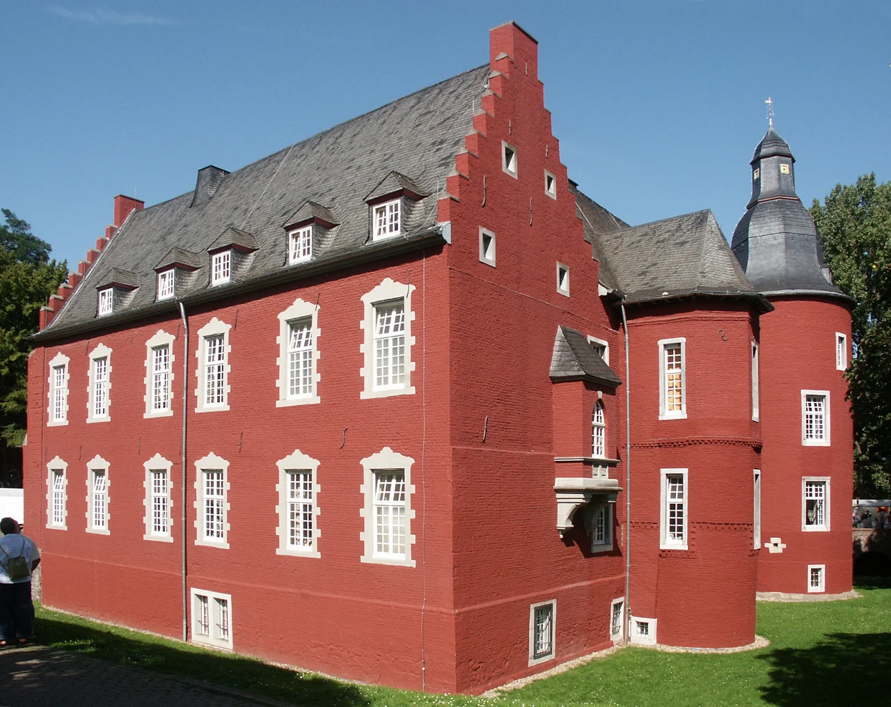
What the Town Remembers
Alsdorf today has a zoo, an indoor arena, a cinema housed in an old mining-era water tower, and a civic center built as a musical hall where productions of Gaudi and Just One World were once staged. The Alsdorf Castle is a tourist sight. So is the Anna mine's preserved water tower. A mining museum operates in town - one of the local answers to the question of what to remember when the thing that built you no longer exists. Alsdorf has produced a striking number of notable people for a town its size: the radio reporter Herbert Zimmermann, whose call of the 1954 World Cup final in Bern - the Miracle of Bern that gave a defeated postwar Germany its first national rallying point - remains one of the most famous broadcasts in German history. The footballer Torsten Frings. The footballer Kai Havertz, born in 1999, who has gone on to play for the German national team and at the highest level of European club football. The billiard champion Ralf Souquet. The mining hammers are gone from the working surface of the town. The names persist.
From the Air
Coordinates: 50.8744°N, 6.1615°E. Alsdorf lies about 12 km northeast of Aachen city center, in the heart of the former Aachen coalfield, with the Netherlands border about 8 km north and the Belgian border about 25 km west. The town's seventeen districts spread across a roughly 6 by 6 km area; the preserved water tower of the Anna mine is a visual landmark from altitude. The Bundesautobahn 4 runs along the southern edge. Recommended viewing altitude: 2,500-4,000 ft AGL. Nearest airports: Maastricht Aachen (EHBK) 30 km NW; Geilenkirchen NATO base (ETNG) 15 km N; Dusseldorf (EDDL) 65 km NE; Cologne-Bonn (EDDK) 65 km E.
Nearby Stories
- Novaesium 4.6 km away
- RAF Bruggen 5.5 km away
- Battle of Lauffeld 6.7 km away
- Toyota Gazoo Racing Europe 13 km away
- Wire of Death 16 km away
- Belgium 81 km away
- Marcinelle Mining Disaster 124 km away
- Zwingenberg Castle 215 km away