Altamiro de Moura Pacheco State Park
Giant anteaters still shuffle through the dry forest here, and maned wolves leave their unmistakable long-legged tracks on the red paths. That a pocket of wilderness like this survives within commuting distance of a Brazilian state capital of 1.5 million is a small miracle - and a deliberate act. The Altamiro de Moura Pacheco State Park protects what remains of central Goiás's dry forest and, just as importantly, keeps the João Leite Reservoir from being choked by erosion. The trees guard the water. The water keeps the city alive.
A Seasonal Forest
This is not the Amazon and it is not quite cerrado either. The dominant vegetation is seasonal semi-deciduous forest, a transition ecosystem that drops some of its canopy during the long dry winter and explodes back into green when the November rains arrive. Botanists have catalogued 485 plant species here, in 315 genera and 97 families. Aspidosperma and Tabebuia - the ipê trees whose yellow and pink blooms are Brazil's unofficial national flower - dominate the dry stands. Gallery forest threads along the streams. Patches of cerrado proper and cerradão, the taller cerrado forest, fill the higher ground. Scattered among them are scars of old pasture, slowly being reclaimed by the seeds the birds and wind carry back.
The Creatures Who Stayed
Over 290 animal species have been identified in the park, including three that carry the weight of Brazilian cerrado conservation on their backs. The giant anteater - Myrmecophaga tridactyla - lumbers through the leaf litter on its knuckles, flicking its long tongue into termite mounds. The maned wolf, Chrysocyon brachyurus, is neither wolf nor fox but something stranger: a solitary cerrado specialist with stilts for legs, russet fur, and a diet that includes a particular fruit called lobeira, the wolf's apple. And the cougar, Puma concolor, still claims territory here, silent and hard to see. None of these animals has any obligation to survive this close to a state capital. They do because the park exists.
A Village Before the Parks
Long before any state decree drew lines on the map, people lived here. Archaeologists found the site of a pre-colonial village within the park's current boundaries, occupied roughly from 500 to 1500 AD by people associated with the southern Kayapó community or at least the Aratu tradition. They farmed. They made pottery. Among the relics recovered were a funeral urn and a ritual mask woven from vegetable fibers - the kind of artifact that usually does not survive the tropics. After the Portuguese arrived, the village emptied. The land eventually became Fazenda Dois Irmãos, a working cattle ranch, and it stayed that way for centuries until the state decided the water reservoir it was planning to build needed protecting.
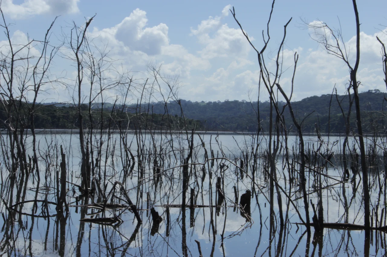
The Reservoir That Rewrote the Park
The park's history is tangled with the João Leite Reservoir, the project that supplies water to more than one million people in metropolitan Goiânia. The original state park, created in 1991 under a different name, got carved up in 1994 when part of its land was flooded for the reservoir. The park shrank to its current 2,132 hectares. Then in 2001 it was renamed for Altamiro de Moura Pacheco - physician, pharmacist, writer, cattle rancher, and Goian politician who had once owned the area. In 2010 a fire burned through much of the reserve and it closed entirely. It reopened in January 2012, and in 2014 a sister park - the João Leite State Park, 2,832 hectares - was created from reservoir land. The two units now protect 4,964 hectares of forest and watershed together.
Trails and Time
Visitors who come here will find a working park rather than a manicured one. Highway BR-153 runs right through it, which is disorienting at first - a major federal road cutting across what the signs call a protected area. But step off the road onto the 17-kilometer Lago Trail, or the shorter 1,400-meter Coati Trail, and the forest quickly closes behind you. There is no swimming; the waterfalls are for looking at, not splashing in. The park opens Wednesday through Sunday, 8 AM to 4 PM, with free admission as of recent years. Guided tours can be arranged. The longer Eucalyptus Trail climbs out of the dry forest and into drier country where the views stretch toward Goiânia's skyline - a useful reminder of what the trees are keeping at bay.
From the Air
Coordinates 16.53°S, 49.14°W, elevation roughly 800-1,000 m on the central Brazilian plateau. Recommended viewing altitude 3,000-5,000 ft AGL to see the park's dry forest contrast with surrounding pasture and the adjacent João Leite Reservoir. The park lies between Goianápolis, Nerópolis, and Goiânia municipalities. Nearest major airport is Santa Genoveva Airport (SBGO) in Goiânia, approximately 20 km south. BR-153 runs through the park and serves as a useful navigation reference. Best visibility May through September during the cerrado dry season.
Nearby Stories
- Anápolis 9.9 km away
- Orizona 29 km away
- Alexânia 30 km away
- Anicuns 45 km away
- Luziânia 72 km away
- Pires do Rio 94 km away
- Rio Verde, Goiás 177 km away