.jpg)
Anseba region
The Anseba River begins almost within sight of Eritrea's capital - in the hills northwest of Asmara, where the central plateau begins to tilt toward Sudan. For most of the year it is barely a river at all: a dry bed across rocky ground, a green thread after the rains. But its course defines a whole administrative region of Eritrea, cutting northwest through the mountains of Rora Habab and the edge of the Sahel before joining the Barka River near the Sudanese border. The Anseba region holds just over half a million people, a cool highland plateau at 1,800 to 2,100 meters, and one of the most architecturally distinctive towns in the Horn of Africa: Keren, the region's capital and the scene of a pivotal World War II battle.
A Highland Climate
The defining thing about Anseba, measured against the rest of Eritrea, is altitude. On the coast at Massawa the air can sit above forty degrees Celsius for months at a time. Up here, at nearly two kilometers above the sea, the temperature rarely tops thirty even in May - the hottest month - and between December and February it touches freezing overnight. Rainfall averages about 508 millimeters a year, enough to make the volcanic soils productive, and the region has two rainy seasons: the heavier one in summer, the lighter in spring. This is why the region is agricultural. It can be. Almost half of the employed population works the land, and every ridge around Keren is terraced for sorghum, millet, or a few rows of vegetables.
Keren, the Capital
Keren sits in a basin among jagged ridges, and for most of its written history it has been a crossroads. Italian colonial administrators built an imaginative little town here in the 1890s and early 1900s - Ottoman-influenced arcades, a market in the shade of an enormous baobab tree, churches and mosques a few hundred meters apart. In 1941 Allied forces fought the Battle of Keren against Italian defenders along the mountain passes outside town, and the British victory there essentially ended Italian East Africa. The campaign's military cemeteries are still maintained on the slopes outside town. Most days, though, the streets belong to the Tigre, Tigrinya, Bilen, Hedareb, Nara, and Saho peoples who farm and trade in the region, and the weekly camel market is as old as the town.
The Fragmented Landscape
Anseba is divided into ten subregions - Adi Tekelezan, Asmat, Elabered, Geleb, Hagaz, Halhal, Habero, Keren, Kerkebet, and Sela - and the names alone hint at how much language and ethnic variation the region compresses into its 23,000 square kilometers. To the south sits Gash-Barka. To the southeast, the Maekel region around Asmara. East and north, the Red Sea. West, Sudan. The topography shifts as you move west from Keren, descending from cool highland toward the hot lowlands where the Anseba joins the Barka. Forest cover across Eritrea is less than one percent today; a century ago, it was many times that. The painted hunting dog, Lycaon pictus, once roamed these hills, and scientists now think it has been extirpated from the region entirely - a quiet disappearance from a landscape that has lost much else.
Life Under a Single-Party State
Anseba and its people have lived under the same government since Eritrea's independence in May 1991. The People's Front for Democracy and Justice, the successor to the Eritrean People's Liberation Front that fought the thirty-year war of independence from Ethiopia, has governed without a contested election since 1993. Local and regional votes happen under restricted rules, and all candidates come from the ruling party. Freedom House consistently ranks Eritrea among the least free countries in the world. For the farmers of Hagaz or the traders of Keren, this means a highly centralized state, conscription that can extend indefinitely, and a diaspora scattered across Khartoum, Asmara, and beyond. The Anseba River runs its quiet course either way.
The Bilen and Others
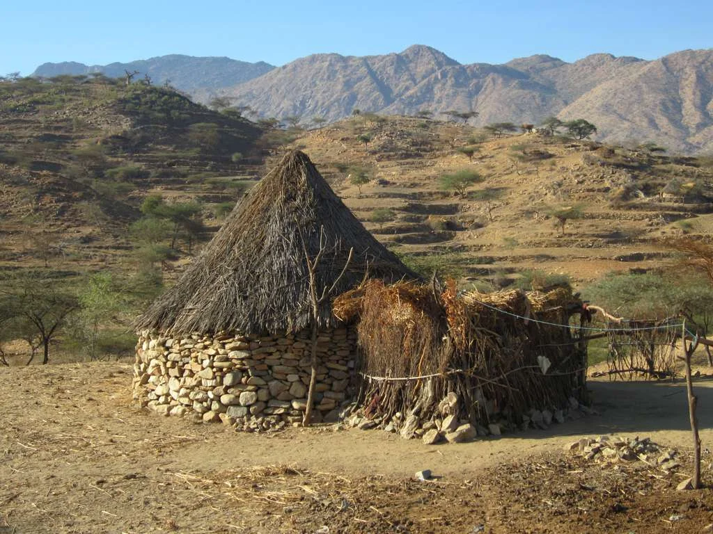
The Anseba region is especially associated with the Bilen, a small ethnic group who speak an Agaw language of the Afro-Asiatic family and traditionally live in villages around Keren. Bilen houses are distinctive: low, rectangular, with walls of stone and mud, often whitewashed, set among thorn hedges. Some Bilen are Christian, baptized by the Capuchin missionaries who worked the region in the nineteenth century; others are Muslim, converted earlier through trade with the Red Sea coast. It is not unusual to find a single extended family split between the two faiths, with shared weddings and funerals and a shared language older than either religion. The region's statistical profile - average family sizes, education levels, infant mortality - reflects the hard economics of a rural highland region, but the cultural texture does not reduce to statistics.
From the Air
Anseba region centers near 16.00 N, 38.00 E in northern Eritrea, with Keren at about 1,390 m elevation. The nearest airfield is Keren's Wuki Duba, a former military strip; Asmara International (HHAS) lies about 90 km south and serves as the primary gateway. The terrain rises steeply from the Red Sea coast to the central plateau - expect mountain wave activity, particularly in the afternoon. Visual navigation along the Anseba River's dry bed is unreliable outside the rainy season. Eritrean airspace requires advance coordination.
Nearby Stories
- Keren, Eritrea 33 km away
- Northern Red Sea region 36 km away
- Nakfa 49 km away
- Asmara 60 km away
- Gash-Barka Region 65 km away
- Kassala 148 km away
- Suakin 308 km away
- Battle of Kunfuda Bay 400 km away