Northern Red Sea region
The lowest point in Eritrea is a salt-crusted depression called Lake Kulul, and it lies in the Northern Red Sea region along with almost everything else that matters to this slim, hot strip of country. The region runs 27,800 square kilometers down the African coast of the Red Sea, wraps around the coral-ringed Dahlak Archipelago, and holds Massawa, a port city so old its harbor remembers the Ottomans, the Egyptians, the Italians, and the Ethiopian emperors who came looking for sea access. At sixteen degrees north latitude, this is a place where the land reaches for water and the water answers back.
Where the Land Ends
The region borders three other Eritrean zobas to the west - Anseba, Maekel, and Debub - and the Southern Red Sea region to the east. Between them sits a landscape that does not quite know what it wants to be. Coastal plains bake in summer heat that pushes past 30 degrees Celsius in May. The highland edge climbs away toward Asmara, and in December and January, those elevations can touch freezing. The soil along the coast carries salt and refuses agriculture. Rainfall averages around 508 millimeters a year, delivered in two uneven seasons - a heavy summer monsoon and a lighter spring. Everything here is shaped by what the Red Sea gives and what it takes back.
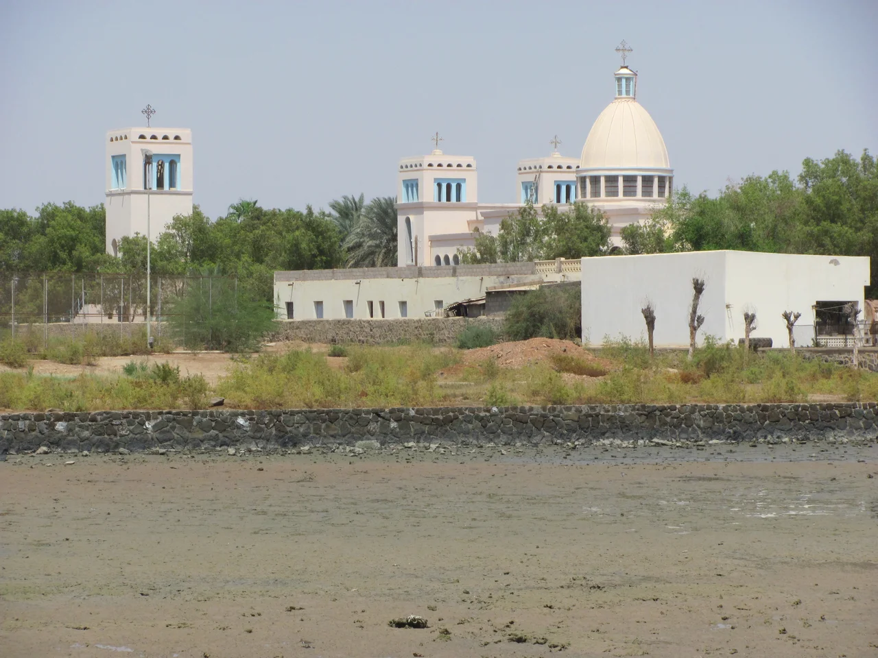
Massawa and the Memory of Ports
Massawa is the region's coastal heart, a city of coral-stone architecture and Ottoman arches that has changed hands through almost every major empire to pass through the Horn of Africa. The Italians called it the pearl of the Red Sea before the Ethiopian war that scarred its buildings in the 1990s. Ships still call here, as they have since antiquity, when Aksumite traders sent ivory and gold across the water to Arabia and beyond. The port's role has shifted with every regime, but geography has never released its grip - anyone who holds this coast holds a piece of the most strategic maritime corridor between Africa and Asia.
The Dahlak Archipelago
Off the coast, more than 200 coral islands fan out into the Red Sea. Most are uninhabited. Some are reached only by dhow. The water around them hides some of the least-studied coral reefs in the world, protected partly by their inaccessibility and partly by the political isolation that has kept Eritrea off most tourist maps. The islands supported a sultanate in the medieval period, traded pearls with Venetian merchants, and now host a small population of Afar and other coastal peoples who live much as their ancestors did - fishing, sailing, waiting out the seasons.
Population and Place
As of 2005, the region held 653,300 people, up from 576,200 four years earlier - a net growth of nearly twelve percent in a country where demographic counts come infrequently and often incompletely. Population density runs to roughly 23.5 persons per square kilometer, thin by most measures, clustered along the coast and the wadis where water surfaces long enough to sustain a village. The region includes nine administrative districts - Afabet, Dahlak, Ghelalo, Foro, Ghinda, Karura, Massawa, Nakfa, and She'eb - names that echo through Eritrean history. Nakfa in particular carries weight; the town gave its name to the country's currency and served as the long-term base of the Eritrean liberation struggle during the war with Ethiopia.
A Quiet Coast
Travel here has been rare for decades. Eritrea's single-party state limits what most visitors see, and the border with Ethiopia has oscillated between closed and war-torn since independence in 1993. Yet from the air, the coast reveals itself in stripes - pale desert meeting turquoise shallows meeting the deeper blue beyond. The Dahlaks scatter like broken pottery across the shelf. Salt pans glitter inland where the sun has pulled the water out. This is landscape older than nation-states, shaped by tides and trade winds and the slow tectonics of the Great Rift, which is still pulling Africa and Arabia apart one millimeter at a time.
From the Air
Located at 16.00°N, 39.00°E along Eritrea's Red Sea coast. Recommended viewing altitude FL250-350 for coastal panoramas. Massawa International Airport (HHMS) and Asmara International Airport (HHAS) are the main aviation landmarks. The Dahlak Archipelago is clearly visible from altitude in clear weather, appearing as a scatter of small islands on the shallow continental shelf. Expect dust haze over coastal lowlands in summer; clearer conditions in winter months.
Nearby Stories
- Attack on Convoy BN 7 25 km away
- Anseba region 36 km away
- Battle of Keren 43 km away
- Nakfa 54 km away
- Massawa 54 km away
- Battle of Agordat (1941) 55 km away
- First and second battles of El Teb 261 km away
- Jazan Province 356 km away