Keren, Eritrea
The baobab tree in Keren has a chapel inside its trunk. In 1941, Italian soldiers sheltering from British planes took refuge in the hollow where the shrine of St. Maryam Deari had been tended for generations. The tree was hit. The shrine survived. So did the soldiers, and so did the baobab, which still stands today in the basin where Keren sprawls under its ring of granite mountains. This is the story Keren tells about itself: armies come through, buildings rise and fall, empires claim and relinquish - and what endures is what was always there, the Bilen and Tigre people who have called these hills home for centuries, and the tree that keeps growing around everything thrown at it.
The Caravan Crossroads
Keren sits in a wide basin 1,590 meters above sea level, 91 kilometers northwest of Asmara, ringed on all sides by granitic mountains. For most of its history it was a trading settlement, straddling the route between the Red Sea port of Massawa and Sudan. In the mid-nineteenth century the place had maybe 350 huts and 2,000 inhabitants. Traders from Arkiko brought grain on the camels of the Hedareb people. Cotton cloth arrived from Sennar and Egypt; ivory, skins, ostrich feathers, and maize came in from Tigre and Amhara. The market that gave Keren its pulse was not grand. It was functional, persistent, and more enduring than any of the rulers who would try to claim it. The settlement's original Tigre name, Sanhit, still attaches to the hill where the old fort sat.
Missionaries, Egyptians, and a Very Bad Year
In 1851, two Lazarist missionaries named Giuseppe Sapeto and Giovanni Stella arrived. Four years later Stella built a stone house and started an Italian agricultural colony. He died in 1869 and the colony dissolved when Rome refused to send any help. Then in 1871, Emperor Yohannes IV cracked down. He arrested the missionaries and - this detail is hard to read in the record - had the hands and feet of their local converts amputated. The Lazarists came back when the Egyptian governor Werner Munzinger took over the region in 1872 and built his fort at Sanhit. Egyptian rule lasted thirteen years. When Egyptian troops withdrew in February 1885, Yohannes seized Keren briefly, then in December 1889 the Italians rushed up from Massawa and took the town. Italian Eritrea was formally proclaimed the next year.
The Modernization Nobody Asked For
The Italians built. Between 1906 and 1916, the Administration building, the Commercial Bank, Cinema Impero, and the European residential complexes went up. When fascism came, so did Caza Del Fache and Caza Del Majori, meant as recreation and residence for Italian settlers. In 1911 the railroad from Asmara to Massawa was extended toward Keren, and by 1918 the town had its own train station. Greek, Armenian, Arab, and Jewish traders arrived with the Italians, and a Greek church joined the mosque and the church of the local Orthodox community. The architecture tells the story plainly: a colonial grid for the Europeans, an older organic pattern for Eritreans, and a growing unease about which of these would last.
The Battle, the Baobab, and Liberation
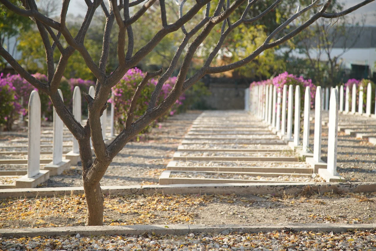
Then came the Second World War. In February and March 1941, British and Indian troops fought one of the toughest campaigns of the African war against Italian defenders dug into the Keren hills. The place called Tenkuluhas, the Bilen name meaning roughly where the gigantic forces wiped each other out, still marks where that fighting was worst. British and Italian military cemeteries in Keren hold the dead from both sides. It was during this battle that Italian soldiers climbed into the hollow baobab tree and the shrine survived. Keren changed hands again during the Eritrean War of Independence. The Eritrean People's Liberation Front took the city in March 1977, lost it to the Ethiopian Army in November 1978, then besieged the Ethiopian garrison until its surrender in May 1991. The war that began as Italian colonial pacification ended only when Eritreans liberated themselves.
What Keren Keeps
Today around 120,000 people live in Keren, the capital of the Anseba Region and Eritrea's second-largest city. The climate is hot and semi-arid, softened by the elevation. Monsoonal rains come in June, July, August, and September; the rest of the year is dry and bright. The Bilen, Tigre, and Tigrinya peoples share the town. The old Tigu fort still stands on its hill. The 1920s railway station still has Italian lettering over its arches. The old mosque and the Sayed Bakri Mausoleum anchor the Muslim quarter. The sixth-century Debre Sina monastery, with its cave dwellings, sits a short drive away. And the baobab with the chapel in its trunk still draws visitors - a tree that remembers more than most monuments, with a shrine inside that has outlived the empire that bombed it.
From the Air
Keren lies at 15.78°N, 38.45°E, at 1,590 meters elevation in a wide granitic basin in western Eritrea. From 10,000 feet AGL the town is visible in its mountain ring. Asmara International (HHAS / ASM) is about 91 km southeast - the historic railroad alignment between the two is still partially visible. Weather is predictable: monsoon rains June-September, dry and bright otherwise. The distinctive baobab tree shrine of St. Maryam Deari is visible on approach to the town.
Nearby Stories
- Battle of Agordat (1941) 22 km away
- Massawa 46 km away
- Asmara 48 km away
- Italian Eritrea 48 km away
- Anseba region 53 km away
- Gash-Barka Region 56 km away
- First and second battles of El Teb 292 km away
- Emirate of Asir 404 km away