
Appomattox County, Virginia
Until April 1865, Appomattox County was unremarkable - a young Virginia county, only twenty years old, settled in the rolling Piedmont southwest of Richmond. Its courthouse village had a tavern, a few stores, and a population that knew everyone by name. Then on a Palm Sunday afternoon, two generals met in a private home on the village's main street, and a quiet county became shorthand for the end of a war that had killed three-quarters of a million Americans. Today, fewer than seventeen thousand people live here. The land is still rolling and green. The name still belongs to a people who lived on these waters long before the surrender that made it famous.
The Name Came First
Appomattox is older than the county, older than Virginia, older than English settlement on the James. The Appamatuck were an Algonquian-speaking people of the Powhatan Confederacy whose villages stood along the lower Appomattox River when the Jamestown colonists landed in 1607. Their werowance, Coquonasum, met John Smith. Their towns appear on the earliest English maps of the Chesapeake. When the colony took their river name, then their county name, then the surrender site name, the words traveled forward into American memory while the people who first spoke them were pushed off the land. The Appamatuck did not vanish - they were absorbed, dispersed, and partly intermarried with other Powhatan groups - but their voice in their own naming was lost.
A County Built from Pieces
Appomattox County is one of Virginia's youngest counties, formed in 1845 from corners of Buckingham, Prince Edward, Campbell, and Charlotte. Samuel D. McDearmon bought the 'Clover Hill' tract that year and donated thirty acres for a new county seat. He built a tavern, lots, and the mansion he hoped would anchor his fortune. McDearmon went bankrupt within a decade, but the village he laid out - Appomattox Court House - became the county's heart. Tobacco farms, mills along the river, and the Southside Railroad reaching west in 1854 wove the county into the Confederate economy. Twenty years after its founding, it would become the site of that economy's collapse.
Palm Sunday, 1865
On April 9, 1865, Robert E. Lee rode into the village of Appomattox Court House from the west. Ulysses S. Grant rode in from the south. They met in the parlor of Wilmer McLean, a merchant who had moved his family from Manassas in 1863 to escape the war. The surrender of the Army of Northern Virginia ended four years of fighting on the eastern front. About 28,000 Confederate soldiers stacked arms in the days that followed. For nearly four million Black Americans held in bondage, the end of the war meant the beginning of legal freedom. For the surrendering soldiers, paroled and allowed to keep their horses, it meant the long walk home through a Virginia they no longer ruled. The McLean house still stands at the National Historical Park, reconstructed from the original materials after a tourist-era dismantling.
After the Cameras Left
The Southside Railroad bypassed the old courthouse village in favor of Appomattox Station, three miles west - the modern town of Appomattox. The county seat moved with it. The old village around the McLean House emptied out, eventually preserved as Appomattox Court House National Historical Park. The new town grew up around the railroad: the 1892 courthouse, the 1895-97 jail, the Knickerbocker Hotel, the Bank of Appomattox. The county settled into a rural pattern of tobacco, lumber, and small farms. Today the population sits around 16,000 - smaller than many American suburbs. The county has voted Republican consistently since 1964, after generations as part of the Solid South Democratic bloc.
Two Rivers, One Name
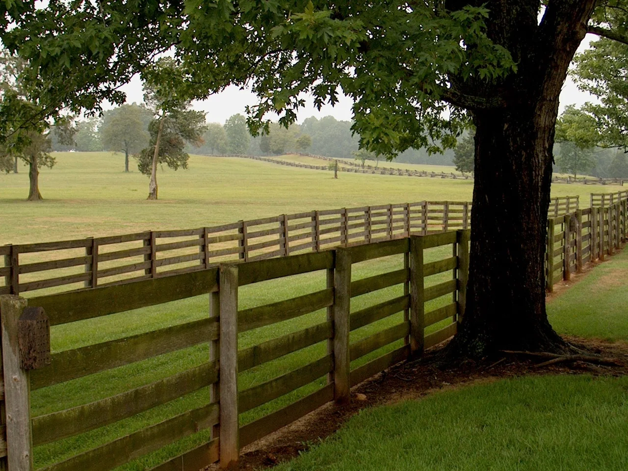
The Appomattox River rises in this county, three miles northeast of the town of Appomattox, in a field beside a state route. From there it flows 157 miles east through Farmville and Petersburg before joining the James at City Point in Hopewell. The county sits on the western edge of the Appomattox watershed and on the northwestern edge of the Lynchburg metropolitan area. Adjacent counties include Nelson to the north, Buckingham to the northeast, and Amherst to the northwest - all small, all rural, all part of the central Piedmont quilt. From the air the county reads as forest and pasture cut by Route 460 and the old railroad. From the ground it reads as one of the most consequential places in American history, hiding inside a landscape that gives no sign of what happened here.
From the Air
Centered near 37.36 degrees N, 78.83 degrees W in the Piedmont region of central Virginia, part of the Lynchburg metropolitan area. The Appomattox River rises in the county and flows east. Major landmarks include Appomattox Court House National Historical Park (37.38 N, 78.80 W) and the town of Appomattox along Route 460. Nearest airport is Lynchburg Regional (KLYH), about 22 miles west. Farmville Regional (KFVX) lies about 25 miles east. Best viewed at 3,000 to 5,000 feet AGL.
Nearby Stories
- Battle of Cumberland Church 1.3 km away
- Red Hill Patrick Henry National Memorial 6.9 km away
- National D-Day Memorial 7.8 km away
- Smith Mountain Lake 9.1 km away
- Fork Union Military Academy 20 km away
- 2023 Virginia Cessna Citation Crash 38 km away
- Alleghany County, Virginia 52 km away
- Long Grass Plantation 60 km away