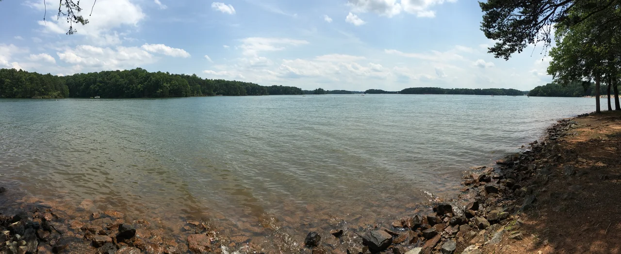

Smith Mountain Lake
The proposal had been sitting on the shelf since the late 1920s: dam the Roanoke River and the Blackwater where they meet at the Smith Mountain gorge, drown the valley above the dam, and harvest the falling water as electricity. It took until 1960 for shovels to actually break ground. Construction finished in 1963. The lake itself crept toward full pond over the next three years, reaching its normal level in March 1966 — 20,600 acres of water, more than 500 miles of shoreline, and the largest lake contained entirely within the Commonwealth of Virginia. What had been tobacco farms and timber land was suddenly a coastline.
The Rural Decade
The 1960s and most of the 1970s passed slowly at the new lake. Roads were narrow. Marinas provided most of the public access. The few residential developments tended toward small trailer parks and modest fishing cabins. Tobacco and other agriculture continued in the surrounding rural counties — Franklin, Bedford, and a sliver of Pittsylvania. Communities ringing the water — Moneta, Huddleston, Union Hall, White House, Penhook, Goodview — kept their pre-lake character. The post office at 1080 Tolers Ferry Road in Huddleston still sorts mail for the same families. Then, sometime in the mid-1980s, the math changed.
Lakefront, Boomtown
Residential growth picked up steadily through the late 1980s and 1990s, and it kept going upscale. Large lakefront houses arrived. Then condominiums. Then communities centered on golf courses. Retirees from the Northeast started showing up in numbers, alongside people commuting to Roanoke or Lynchburg from the lake's edge. By the late 1990s, the demographics had reached critical mass — enough new residents with disposable income to justify retail and commercial development near the lake. Federal oversight of shoreline development arrived in 1998, and as marinas became more valuable as residential parcels than as marinas, public access to the water has steadily shrunk. State Route 122 is the only primary highway that crosses the lake; SR-24, SR-116, and SR-40 nibble at the edges.
Recreation, Stripers, and a State Park
Boating, water skiing, wakeboarding, jet skis, and sailing are the surface-level pleasures. Underneath, the fishing has become a serious draw — particularly for striped bass. Fingerlings are grown out from stripers that have run from downstream Kerr Reservoir up to the vicinity of Brookneal; the Vic Thomas Fish Hatchery in Brookneal handles the freshwater strain. Bassmasters tournaments have been televised nationally from these waters. Smith Mountain Lake State Park, on the Bedford County side off Smith Mountain Parkway, opened in 1983 and remains the lake's primary fee-based public access point, with a beach and a swimming section. The free Smith Mountain Community Park on the Franklin County side, plus six government-run boat ramps, fill out the public side of the equation. The rest is private.
Who Runs the Lake?
American Electric Power — operating now through subsidiary Appalachian Power — is licensed by the Federal Energy Regulatory Commission to operate the Smith Mountain Project. The first license ran fifty years. In 1998 AEP started the relicensing process, which the FERC requires to be exhaustive: environmental studies, recreation studies, shoreline plans. In December 2009 the FERC granted Appalachian Power a new 30-year license. Under the Shoreline Management Plan that came out of the 1998 process, AEP effectively functions as the permitting agency for shoreline work within the project boundary — local zoning has been superseded. The lake level normally hovers within a foot of 794.2 feet above sea level, the so-called normal pond, with regulated full pond at 795 feet. During the 2001-2003 drought, levels dropped six feet below normal. On most summer evenings, sunlight hits the wakes of the late returning boats and the houses glow like a small coastal city pressed up against the Blue Ridge.
From the Air
Smith Mountain Lake spans roughly 37.04°N, 79.54°W, with an unmistakable dendritic shoreline filling the Roanoke and Blackwater River valleys southeast of Roanoke and southwest of Lynchburg. The dam sits at the eastern end. Nearest airport: Smith Mountain Lake Airport (KSMG), a small public-use field on the north shore, with Roanoke-Blacksburg Regional (KROA) about 22 nm northwest. The lake makes one of the most striking visual landmarks in central Virginia from cruise altitudes of 5,000-10,000 ft AGL.
Nearby Stories
- 2004 Hendrick Motorsports Aircraft Crash 4.8 km away
- National D-Day Memorial 11 km away
- Red Hill Patrick Henry National Memorial 18 km away
- Floyd County, Virginia 19 km away
- Virginia Museum of Natural History 22 km away
- Appomattox Historic District 26 km away
- Paint Bank, Virginia 35 km away
- Staunton River State Park 37 km away