.jpg)
Staunton River State Park
The locals will tell you it's pronounced Stanton. The river is named for Captain Henry Staunton, who before the Revolution led a company of soldiers tasked with patrolling the gap between the Blue Ridge and the mouth of the Dan, protecting Virginia farms from Native American raids. The river he patrolled is also the Roanoke. Two names for one body of water, and the locals chose his.
What the locals didn't choose was the sky. The sky just happens to be very dark here. In 2015, the International Dark Sky Association designated Staunton River State Park as the first such park in Virginia. On a clear new-moon night you can see the Milky Way's central bulge with naked eyes, the way human beings did for the first 200,000 years of being human, before the lights went on everywhere else.
Captain Staunton's River
Before there were plantations, there were small farms. Before there were small farms, there was the river and the people who had lived along it for thousands of years before any captain arrived to give it his name. The Native peoples whose country this was had been driven west or south or simply killed by the time Henry Staunton organized his patrol. Tobacco arrived in the 1700s and the small farms grew into plantations, the most famous of which was Red Hill, last home of Patrick Henry, and the Roanoke Plantation, where the Clement family settled. Their descendant John Marshall Clemens was born in the region before leaving Virginia and going west to Missouri, where his son Samuel grew up and wrote books under the name Mark Twain. So Twain's father walked the bluffs of what is now this park.
The Bateaux Men
Before the railroads, the only way to move tobacco was by river. A fleet of flat-bottomed boats called bateaux ran from Brookneal down to Clarksville and Gaston, North Carolina, bypassing the falls through channels walled with stone masonry. Samuel Pannilla owned the boats. The men who poled and pulled them through the shallows became river legends, and the most legendary of them was Matt Haskins, a Black man who lived in Randolph and was known the length of the Staunton. The stories told of Haskins say he could lift a 200-pound sack of fertilizer with his teeth and pick up a barrel of liquor in his hands and drink straight from the bunghole. These are the kind of stories told about strong men along rivers everywhere. They were told about a Black man whose work was hauling other people's tobacco to market. Strength was the only currency the river economy ever paid him in. After the Civil War the bateaux trade went quiet for a few years, came back briefly in 1869, and then went away forever when the railroad arrived.
The Utopia That Failed
On August 8, 1899, a man named J. C. Zimmerman bought 1,426 acres of land at the confluence of the Staunton and the Dan and arranged the buildings of his new colony in a semicircle around a communal kitchen and dining room. He had brought nine or ten Christian families with him from Wisconsin. They were going to live as a utopia. They did not know how to farm in Virginia, where the soil and the seasons and the rainfall were not what they were used to back home. The colony began to fail almost immediately. Within a few years the families had gone home. The land they had tried to make perfect went back to being land. The records do not say what they had argued about, or whether they kept in touch, or whether any of them ever told their grandchildren about the year they had tried to build heaven at the fork of two Virginia rivers.
The CCC and the Park
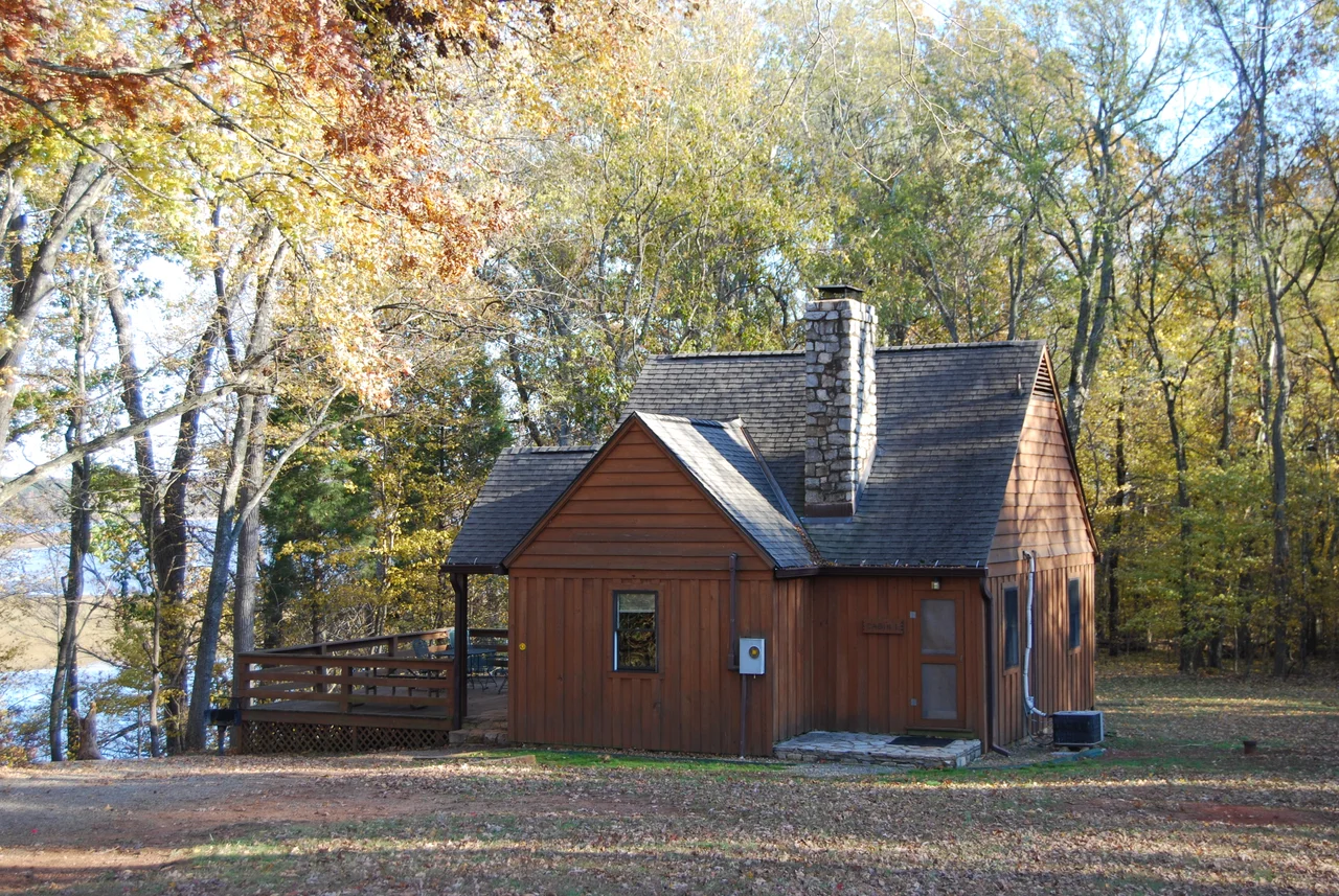
In 1933, in the depths of the Depression, Virginia's Commission of Conservation and Development bought 1,196 acres from the Johnson family at the fork. The federal government sent a Civilian Conservation Corps company. From 1933 to 1935, young men who could not find work in any of the country's collapsed industries built picnic shelters, cabins, trails, a pool, the boat launch, and the main park buildings. They were paid $30 a month and required to send most of it home to their families. Some of them had never seen mountains. Some of them could not read or write when they arrived. The CCC literacy programs taught about 100,000 men nationwide to read during the years the program ran. The park opened to the public in 1936 as one of Virginia's original six state parks. In 1952, the John H. Kerr Dam went up downstream and Buggs Island Lake formed behind it. Part of the park was flooded. The waterline is higher than it used to be. The Park Historic District was added to the National Register of Historic Places in 2007.
Looking Up
On any clear night here, away from the campground lights, the sky resolves into the kind of full dark sky that most Americans never see. The Milky Way comes through with the brightness it had in the founding documents of civilization. Andromeda, the nearest spiral galaxy, is a smudge in Pegasus to the naked eye. The Park hosts a star party twice a year. People drive from Richmond and Raleigh and Charlotte to lie on blankets in a field that Matt Haskins walked through, that the Utopia colony harvested for one bad season, that the CCC boys cleared for picnic tables, and to look at the same stars that have been hanging up there since before any of these names existed.
From the Air
The park lies along the Staunton (Roanoke) River near Scottsburg, Virginia at 36.70 degrees north, 78.69 degrees west, at the western end of Buggs Island Lake. The recognizable visual feature is the confluence of the Staunton and Dan Rivers, with the lake widening to the east. South Boston-Halifax County Airport (KHKY) lies 12 nm northwest and Raleigh-Durham International (KRDU) is 95 nm south. Best viewed at 4,000 to 7,000 feet AGL. At night the park appears as a notable dark area in an otherwise sparsely lit region; on clear evenings the absence of light pollution is itself the feature.
Nearby Stories
- Granville County, North Carolina 12 km away
- Virginia International Raceway 14 km away
- Fort Christanna 18 km away
- North Carolina Tornado Outbreak of April 2014 23 km away
- Red Hill Patrick Henry National Memorial 32 km away
- Smith Mountain Lake 41 km away
- Battle of Five Forks 45 km away
- Alamance County, North Carolina 47 km away