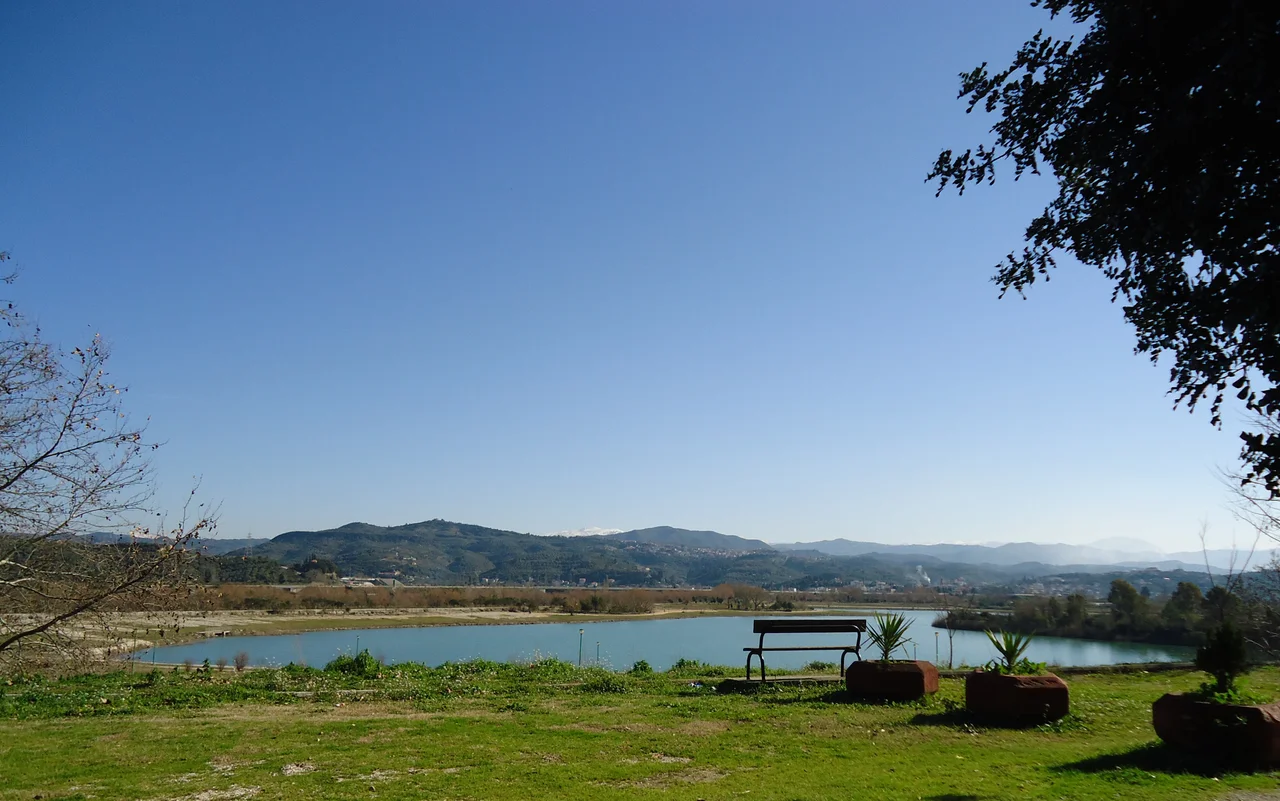

Arta, Greece
Pyrrhus of Epirus gave the world a phrase and a lesson. His costly victories against the Romans in the 3rd century BC — triumphs achieved at such price in men and resources that they hastened his own defeat — are the origin of "Pyrrhic victory," a concept still invoked whenever a win costs more than it is worth. Pyrrhus made this city his capital, adorning it with a palace, temples, and theatres. The city was Ambracia then. It is Arta now, and while the palace is gone, the lessons embedded in its long history are not.
From Ambracia to Arta: Three Thousand Years on the Arachthos
The first settlement on the banks of the Arachthos River dates to the 9th century BC. Ambracia was founded as a colony of Corinth in the 7th century BC, and for the next several centuries it passed through the hands of Macedonian suzerains, local rulers, and eventually Pyrrhus himself, who received the city in 294 BC and made it the showpiece capital of his Epirot kingdom.
After Pyrrhus, Rome. Ambracia came under Roman control in 167 BC, after the Third Macedonian War, when Aemilius Paullus sacked Epirus and took some 150,000 inhabitants into slavery. In the medieval period, under Byzantine administration, the city flourished again as a commercial center with links to Venice, rose to become a bishopric by 1157, and attracted the notice of the Jewish traveler Benjamin of Tudela, who passed through in 1165. When the Normans under Bohemond besieged it in 1082, the name Arta had already appeared in the record.
The origin of that name is genuinely uncertain. It may derive from a corruption of the river's name, Arachthos. Or from the Latin word artus, meaning narrow, describing the river's gorge. Or from a Slavic word for swamp. Three plausible etymologies, none decisive — which feels appropriate for a city that has worn so many identities over three millennia.
Capital of the Despotate
Arta's most politically significant medieval period came after the Fourth Crusade's shattering of the Byzantine Empire in 1204. In the fragmented political landscape that followed, Michael I Komnenos Doukas founded the Despotate of Epirus and made Arta its capital. For more than a century, the city was the seat of a Epirot state that at its height controlled much of northwestern Greece and part of Thessaly.
The Despots left their mark in stone. The Castle of Arta — built by Michael I in the early 13th century, though its present form is largely post-Byzantine — still stands above the town. The Byzantine churches are the most enduring physical legacy: Arta preserves more Byzantine churches per capita than almost any other city in Greece. Among them, the Panagia Paregoretissa — the "Mother of God the Consoling" — stands as the finest, built in 1294–1296 by Despot Nikephoros I Komnenos Doukas and his wife Anna Palaiologina Kantakouzene. Its interior columns are stacked three stories high in an unusual structural arrangement, and the mosaic work that survives speaks to the ambition of a provincial court trying to match Constantinople.
Among the Byzantine figures connected to Arta is Theodora Petraliphaina — consort of Despot Michael II, who died around 1270 and was later canonized as Saint Theodora of Arta by the Orthodox Church. Her remains are venerated in the city.
The Bridge and Its Song
The structure most associated with Arta today spans the Arachthos River outside the city: a medieval bridge of four arches, its stone worn pale by centuries of weather, curving gently over the green water. The Bridge of Arta is not only a surviving piece of medieval engineering — it is also the subject of one of the most widely known folk ballads in the Greek tradition, a song about a builder whose work kept collapsing until the master builder's wife was incorporated into the foundation. The ballad, with its devastating final exchange between the builder and the wife who accepts her fate, has been collected in dozens of variants across Greece and the wider Balkan world.
The bridge the song refers to has been variously identified and debated by folklorists, but the one that stands at Arta — spanning the Arachthos with its graceful arches — is the one most commonly associated with the legend. Its actual construction dates to the Ottoman period, though it sits on or near the site of earlier crossings. Whether the song preceded the bridge, or the bridge inspired the song, the two are now inseparable in the popular imagination.
A City of Layers
Walking through Arta today, the layers accumulate. Ancient walls from Ambracia's classical period survive in sections. The ruins of an ancient temple of Apollo and a small ancient theatre are visible in the modern city, which is built directly on top of the old one. The Castle of Arta occupies its hilltop above Byzantine churches and Ottoman-era streets, with a clock tower from a later era still marking the hour nearby.
The city's notable people span the same layered history. Pyrrhus himself was born c. 319 BC in Epirus and died in 272 BC — he made Ambracia his capital but was not a native of the city. Nikolaos Skoufas, from the nearby village of Kompoti, founded the Filiki Eteria — the secret society that organized the Greek War of Independence — in 1814. Napoleon Zervas, the WWII resistance leader, was born in Arta in 1891. Isaac Mizan, born in 1927, was the last Greek-Jewish survivor of Auschwitz; he was from Arta.
Arta is one of the wettest cities in Greece — the rain that falls on the mountains of Epirus drains through the Arachthos valley, keeping the river full and the surrounding plain green even in summer. It is a city that rewards patience: the archaeological museum, the Byzantine churches, the bridge at dusk when the stone turns gold in the lowering light. Three thousand years of continuous settlement have left marks on every block.
From the Air
Arta sits at approximately 39.17°N, 20.99°E in the Arachthos River valley, inland from the Amvrakikos Gulf in Epirus. Flying from Aktion National Airport (LGPZ, approximately 35 km to the southwest), approach from the west at 3,000–5,000 feet. The city is clearly visible in the flat valley floor, with the Arachthos River curving past the western edge of town. The medieval Bridge of Arta is visible as the river bends — four arches spanning the pale green water. The Byzantine castle hill rises above the city center. The Amvrakikos Gulf opens to the southwest; on clear days the mountains of Acarnania are visible across the water.
Nearby Stories
- Battle of Karpenisi 13 km away
- Castle of Santa Maura 17 km away
- Prousou Monastery 21 km away
- Paxos 22 km away
- Dodona 22 km away
- Meteora: The Monasteries Built on Impossible Pillars 42 km away
- Achilleion (Corfu) 47 km away
- SM UC-38 67 km away