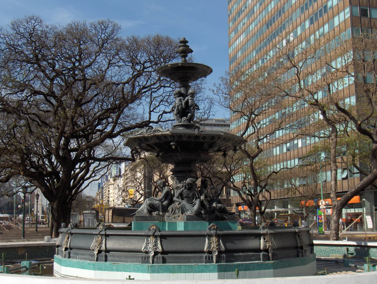

Avenida 9 de Julio
Stand on one curb of the Avenida 9 de Julio and the far sidewalk feels like a distant shore. The crossing can take two or three green lights to complete on foot, because this is a street the width of an entire city block - around 110 meters from edge to edge, up to seven lanes of traffic in each direction, with parallel side streets and broad medians filling the rest. Argentines call it the widest avenue in the world, and for many years Guinness agreed — though the record has since been disputed, with rival claimants measured on different definitions of what an avenue truly is. It slices through the center of Buenos Aires like a canyon, and rising from its very middle stands the Obelisco, the white spike that has become the symbol of the city itself.
A Name That Marks a Birthday
The avenue is named for the ninth of July, 1816 - the day delegates gathered in the northern city of Tucuman and declared Argentina's independence from Spain. It is a fitting tribute, because the street is itself an act of national ambition. The dream of a great north-south artery cutting through the heart of the capital was first floated in the 1880s, championed by a series of mayors who imagined a single grand boulevard binding the city together. For decades it remained mostly that - a dream, blocked by the landlords and residents who stood in its path and had no wish to see their properties condemned for a road.
Carved Through a Living City
Real construction did not begin until 1935, and the first stretch opened on 12 October 1937. To build it, the city had to demolish whole rows of buildings along an entire block-width corridor, an enormous and contentious feat of expropriation that strained the municipal treasury and dragged on for decades. The central section was not finished until the 1960s, and the southern connections came only after 1980. One building was spared and now stands marooned, the lone structure sitting on the avenue itself: the former Ministry of Public Works, its façade bearing two giant steel portraits of Eva Peron that gaze out over the traffic, lit up after dark.
The Obelisco at the Crossroads
Where the 9 de Julio meets the Avenida Corrientes, the avenue opens into the Plaza de la Republica, and there stands the Obelisco. Built in a frantic thirty-one days in 1936 to mark four hundred years since the city's first founding, the 67.5-meter monument was designed by the modernist architect Alberto Prebisch. It has since become the gathering point for the whole nation - the place where crowds surge after a World Cup victory, where protests converge, where the city comes to celebrate and to mourn. Beneath it, three subway lines meet in a single station, the busy heart of the underground network threaded with a retail concourse that doubles as a way to cross the great avenue without ever surfacing.
An Artery That Never Stops
Along its three-kilometer run from the Retiro district in the north to Constitucion station in the south, the avenue gathers up the city's landmarks: the Teatro Colon opera house just off its edge, the elegant French Embassy in the Palacio Ortiz Basualdo - a building the French government refused to let be torn down for the road - and a statue of Don Quixote where it crosses the Avenida de Mayo. Down its spine runs a dedicated Metrobus corridor, opened in 2013, carrying a quarter of a million bus passengers a day and linking the city's two busiest railway terminals. By day it roars; by night the Obelisco glows and the headlights stream past in rivers. The 9 de Julio is less a street than the central nervous system of Buenos Aires.
From the Air
The Avenida 9 de Julio runs north-south through central Buenos Aires near 34.608S, 58.381W, and from the air it is one of the easiest features in the city to identify: an unusually broad pale corridor cutting straight through the dense grid, with the Obelisco standing at its midpoint where it crosses Corrientes. The monument and the wide ribbon of the avenue make an ideal visual anchor for orienting over the city. The nearest airport is Aeroparque Jorge Newbery (ICAO SABE) on the riverfront about 4 km to the northeast, whose runway parallels the Rio de la Plata; the international airport is Ezeiza/Ministro Pistarini (ICAO SAEZ), roughly 30 km southwest. The avenue's northern end ties into the Arturo Illia expressway that leads toward SABE. Clear, dry winter days offer the sharpest views straight down the avenue's length.
Nearby Stories
- Ezeiza Massacre 1.9 km away
- Luján, Buenos Aires 5.1 km away
- Curutchet House 13 km away
- Colonia del Sacramento 17 km away
- Martín García Island 28 km away
- Atucha Nuclear Power Plant 37 km away
- Lobos 43 km away
- Cry of Asencio 87 km away