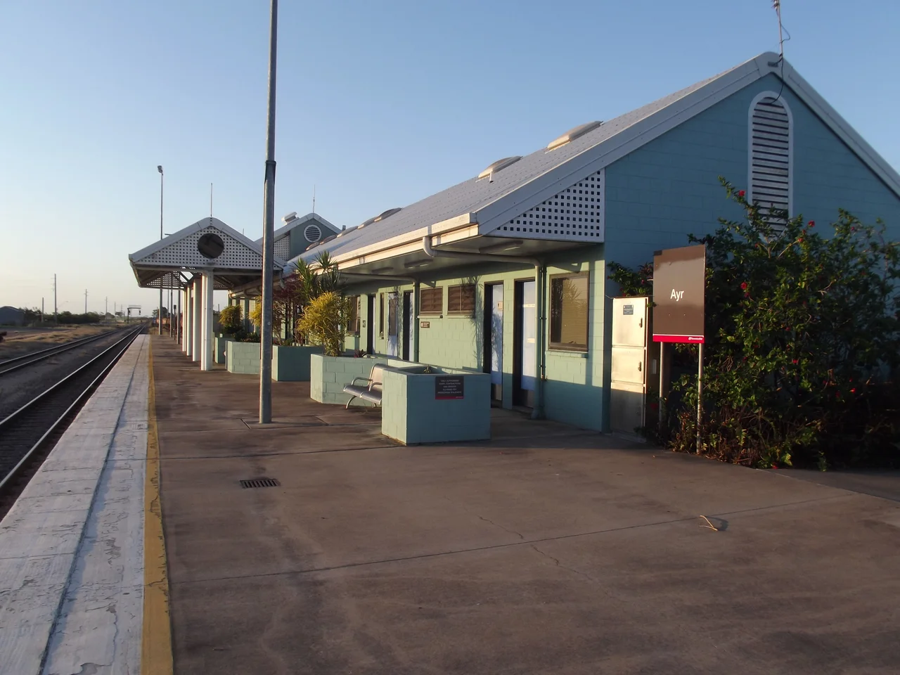

Ayr
Ayr was given a Scottish poet's hometown for a name and a tropical floodplain for a body. The town was declared in 1882 and named for Ayr in Scotland, birthplace of the Queensland premier of the day, Sir Thomas McIlwraith - a tidy colonial gesture stamped onto country that the Bindal people had known as their own for hundreds of generations. What made the town possible was not the name but the water. Beneath the cane fields of the Burdekin delta lies one of the richest underground reservoirs in the country, and once settlers learned to tap it, the flat brown plains south of Townsville became a sea of green. Ayr today is a working town of around nine thousand people, the unofficial capital of the Burdekin, where the air in crushing season smells of cut cane and molasses and the conversation, sooner or later, comes back to sugar.
The Sweetest Water in Queensland
The Burdekin is a river of extremes - bone-dry sand one season, a continent-draining torrent the next - but its real gift runs unseen. The delta sits on a vast aquifer of fresh water, and the man who taught the district to use it was an engineer named John Drysdale, who arrived in 1886. Drysdale adapted a clever device sometimes called the Abyssinian spear, a tube driven down into the ground to draw a steady flow without choking on sand or gravel. With reliable water came reliable cane, and the delta never looked back. Today the Lower Burdekin holds northern Australia's largest irrigation area - around 80,000 hectares under cane, producing well over a million tonnes of raw sugar in a good year, along with mangoes and vegetables. Drysdale is remembered on Queen Street, the main shopping strip, by a memorial clock raised in 1928. It is a fitting monument: in this town, time and water both keep the cane growing.
The People the Cane Was Built On
The green wealth of the Burdekin rests on a history that the town has had to learn to speak about honestly. Large-scale cane growing began here in 1879, and the first plantations did not run on free labour. They ran on South Sea Islanders - Pacific people from islands like those of present-day Vanuatu, drawn or seized into the trade known as blackbirding, a system that for many amounted to slavery in all but name. Between 1863 and the early 1900s, around 62,000 Islanders were brought to Queensland. The local record is stark. Of the 532 Islanders brought to the Airdmillan plantation near Ayr, 128 - nearly one in four - had died by 1885. These were not statistics to the families who lost them; they were sons and brothers and daughters, taken far from home to cut another country's cane, and too often buried in its soil. When the White Australia Policy forced mass deportations after 1901, many who had built lives here were torn away again.
A Living Heritage
But not everyone left, and their descendants are still here. The people of the Australian South Sea Islander community - many sharing both Pacific and Aboriginal ancestry - remain a distinct and proud cultural group across the Burdekin and the wider Queensland coast, keepers of a heritage their ancestors paid for dearly. Their story sits alongside the Italian families who came later to the cane, the Aboriginal Bindal and Juru peoples whose country this has always been, and the working-holiday backpackers who still arrive each year between March and December to swing through the harvest. The result is a town more layered than its quiet main street suggests. Creek names like Plantation Creek and a community that still gathers to say its own name out loud are reminders that the sweetness of the Burdekin has a memory, and that the memory is being kept alive by the people best placed to keep it.
River, Reef and the Silver Link
Ayr stands on the northern bank of the Burdekin, and across the wide riverbed lies its twin, Home Hill, on the southern side of the delta. For decades the river divided them; then in 1957 the great Burdekin River bridge - the Silver Link, locally - was thrown across the gap, and at its opening it was the longest bridge in Australia. The two towns have leaned on each other ever since. Beyond the cane, the country has a cultural heart too: in the main street of Ayr sits one of Australia's finest small theatres, the Burdekin Theatre, a proper proscenium-arch house with a 473-seat raked auditorium, a fly tower and an orchestra pit, improbably grand for a town this size. And out past the river mouth, off nearby Alva Beach, lies one of the most famous dive sites on the planet: the wreck of the SS Yongala, Australia's largest and most intact historic shipwreck, lost with all aboard in a 1911 cyclone and now a teeming reef of its own, drawing more than ten thousand divers a year down into the warm dark of the Coral Sea.
From the Air
Ayr sits in the Burdekin delta at about 19.575 degrees south, 147.405 degrees east, on the north bank of the Burdekin River roughly 85 to 90 kilometres south of Townsville. From 3,000 to 6,000 feet the delta is unmistakable: a vast geometric quilt of irrigated cane fields, the broad braided channel of the Burdekin River, and the twin town of Home Hill on the southern bank linked by the long 1957 Burdekin River bridge. The Coral Sea coast and Alva Beach lie to the east, with the SS Yongala wreck offshore. Nearest major airport is Townsville (YBTL / TSV) to the north; the local Ayr / Burdekin airfield serves light aircraft. Dry-season visibility (May to October) is excellent for picking out the field patterns and the river; expect haze, cloud and the risk of tropical cyclones in the December-to-April wet season.
Nearby Stories
- SS Yongala 16 km away
- Queen's Hotel, Townsville 16 km away
- SS Gothenburg 26 km away
- Imperial Hotel, Ravenswood 27 km away
- Bowen 29 km away
- Stewart's Creek Gaol 30 km away
- Great Barrier Reef 61 km away
- Ravenswood School of Arts 67 km away