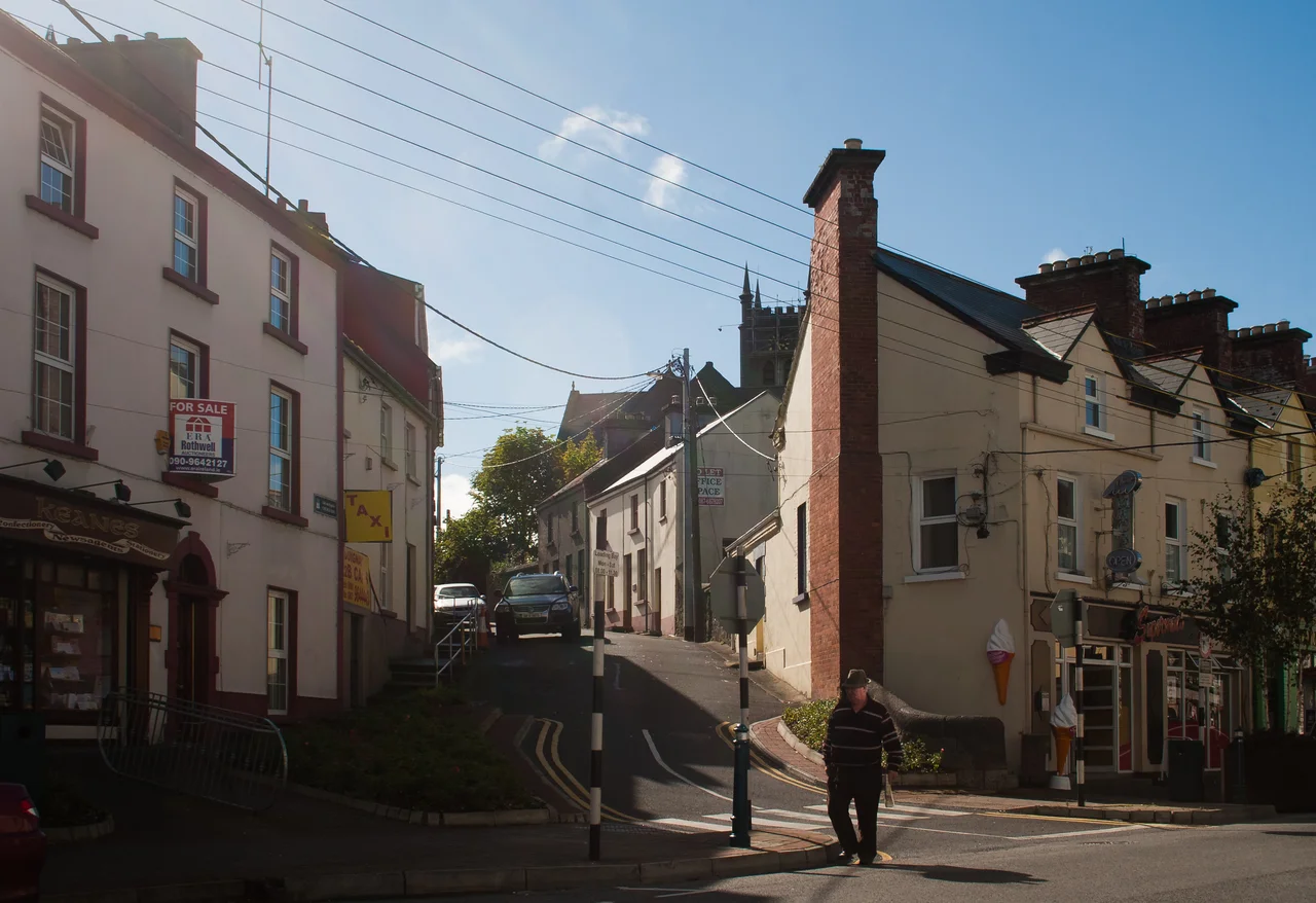

Ballinasloe
The Irish name is the giveaway: Béal Átha na Sluaighe, 'the ford-mouth of the crowds.' The river is the Suck, which forms the border between County Galway and County Roscommon. The crowd has been gathering here since before Ireland had a written language. Bronze Age sites are scattered through Garbally Demesne on the eastern edge of the town. A castle was built on the eastern bank of the Suck in the twelfth or early thirteenth century to control the crossing. Around it, in the early thirteenth century, Richard Mór de Burgh formally founded the town. Eight hundred years later, every October, 80,000 people still come to Ballinasloe for the horse fair that has run, more or less continuously, since the 1700s.
The Oldest Horse Fair in Europe
The Ballinasloe Horse Fair began in the eighteenth century—exact origin contested, but the 300th anniversary in 2022 fixes one plausible reckoning at 1722. For most of its history it was a major agricultural market: cattle, sheep, hops, hides. The horses came to dominate in the nineteenth century, when British cavalry regiments came to Ballinasloe to buy mounts and the town became one of the most important horse-trading centres in Europe. The Duke of Wellington is said to have purchased Copenhagen, the horse he rode at Waterloo in 1815, at Ballinasloe—a piece of local tradition the town does not aggressively police. The modern fair runs for a week each October, with a market, fireworks, a dog show, livestock judging, and the central business of horses changing hands in the centuries-old style. The 2020 and 2021 fairs were cancelled for COVID-19. The 2022 fair returned with extra emphasis: the 300th.
Famine and the Workhouse
A workhouse opened in Ballinasloe in 1842 at a cost of £9,500, designed for a maximum of 1,000 inmates. The 1851 census found 2,487 people inside—the institution at more than double its intended capacity in the closing phase of the Great Famine. A 64-bed fever hospital had to be added to the north-east of the workhouse to cope with the typhus and cholera that always accompanied famine. The wards were repurposed as convalescent accommodation as patients survived and the system tried to clear its overflow. Today only the main block of the fever hospital survives. A Famine Remembrance Park lies a kilometre from the town centre at Cleaghmore. In September 2021, archaeologists doing a routine survey before street resurfacing found human skeletons twelve centimetres below the existing footpaths—seventeenth-century burials, possibly soldiers, in the centre of a town that had layered its histories on top of one another for eight hundred years.
The Canal and the Stout
From 1828 to the 1960s, Ballinasloe was the terminus of the Grand Canal—the great waterway that linked Dublin to the Shannon and made the Irish midlands navigable. The Guinness Company used the town's canal stores to hold and distribute its stout across Connacht, with the famous barges making their slow, steady run from St James's Gate Brewery in Dublin to Shannon Harbour and across the river to Ballinasloe. The last working cargo barge passed the Grand Canal in 1960; the Ballinasloe branch was abandoned and now carries a Bord na Móna industrial railway. The town's public marina, developed on the River Suck, allows pleasure craft from the Shannon Navigation to reach Ballinasloe by water again—not for stout this time, but for tourism.
The Three Kings at Aughrim
Seven kilometres west of Ballinasloe lies Aughrim, where on 12 July 1691 the largest battle ever fought in Ireland brought together the armies of three rival European kings: William of Orange, James II, and Louis XIV (whose troops fought for James). The Battle of Aughrim killed about 7,000 men in a single afternoon and ended the Jacobite cause in Ireland. The Battle of Aughrim Interpretive Centre tells the story today. Clontuskert Abbey, a medieval Augustinian priory, sits 7 km from Ballinasloe in the other direction. The Hymany Way—a long-distance hiking trail running from Portumna to Aughrim—passes through Ballinasloe, threading the town into a network of paths along the Shannon and the Suck.
Population, Place, Persistence
As of the 2022 census, 6,597 people lived in Ballinasloe, making it one of the largest towns in County Galway. The economy that once depended on cattle and canal barges now runs on hospitals (Portiuncula University Hospital, opened in 1943, still anchors the town), pharmaceutical and medical-device manufacturing (Surmodics, Dubarry of Ireland), and tourism. Supermac's, the Irish fast-food chain, opened its first restaurant here in 1978; the company now has over 120 locations across Ireland and several in the town. The M6 motorway opened in December 2009, ending Ballinasloe's notorious reputation as a bottleneck on the old Galway-to-Dublin road. The 2009 floods, in the same year, burst the Suck and evacuated 40 families. The town keeps absorbing what arrives—armies, motorways, weather, crowds of horse-traders—and the ford remains a place where many roads still meet.
From the Air
Ballinasloe is at 53.33°N, 8.22°W, on the River Suck on the Galway-Roscommon border. Cruise at 3,000–6,000 feet and the town presents as a substantial settlement spread on both banks of the meandering Suck, with the M6 motorway visible bypassing it to the north. Garbally Demesne's mature parkland marks the eastern edge. Nearest airports are Shannon (EINN) about 75 km south, Galway (EICM) to the west, and Dublin (EIDW) about 130 km east. The Aughrim battlefield lies 7 km west; Portumna and Lough Derg are 30 km south.
Nearby Stories
- Gort 2.7 km away
- Roscommon 5.6 km away
- Milltown, County Galway 7.4 km away
- Lorrha 9.7 km away
- Durrow Abbey 15 km away
- Marine Institute Ireland 17 km away
- Clonfin Ambush 19 km away
- Ballyfin 21 km away