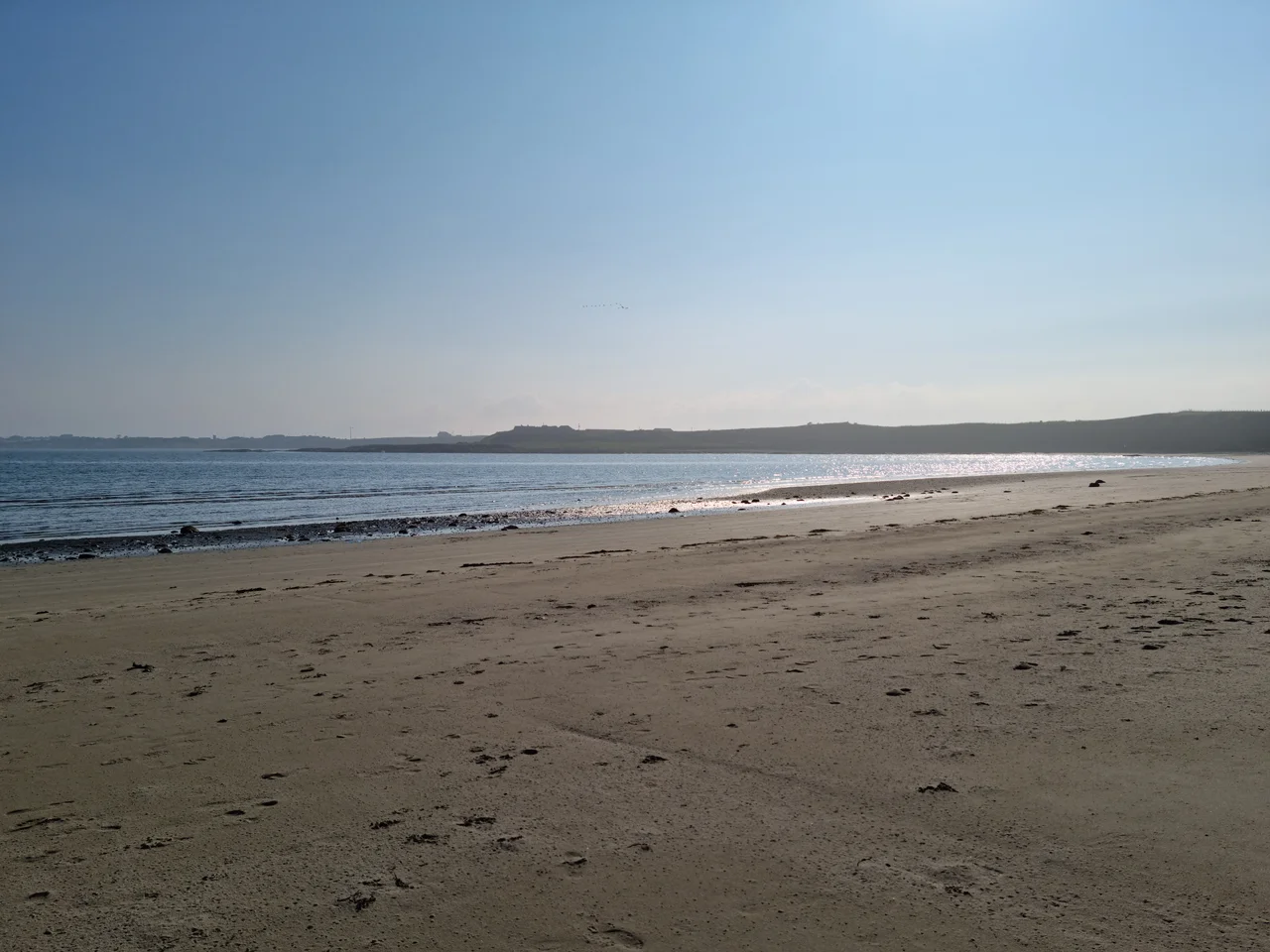

Ballyhornan
The bus from Downpatrick still ends at Cable Bar. That is what tells you what Ballyhornan is now, and what it used to be. Ballyhornan, from the Irish Baile an Eoirna, the townland of the barley, sits along the Irish Sea coast roughly ten miles from Downpatrick. Its population, in the 2021 census, was 455. There are no shops here, no school, no doctor. There is a pub, a community centre, a nature reserve, and an undersea cable that runs from the shore across to the Isle of Man. The BBC once called Ballyhornan County Down's lost village, and the name has stuck, partly because it is unfair and partly because it is not.
The Airbase Years
Most of Ballyhornan's modern housing was not built for the village. It was built for the airmen at RAF Bishopscourt, the radar station that opened during the Second World War and stayed active until 1990. Killard Square, the rows of housing strung out along the road, were quarters for the people who served at Bishopscourt. When the base closed, the houses went to civilians, often sold off in large blocks to private buyers. What had been a military estate became an awkward civilian settlement that nobody had quite planned. The roads were laid out for a base that no longer existed. The street lighting was never quite anyone's responsibility. Residents have been petitioning Stormont for a working sewer system for years. Down District Council has approved plans for a petrol station. Development is ongoing, the literature insists, but the cadence is slow.
The Cable and the Bar
Cable Bar takes its name from what runs out into the sea here. The undersea telecom cable that connects the County Down coast to the Isle of Man comes ashore at the Cable House in Ballyhornan, and the bar across the road has carried the name long enough that nobody quite remembers when it began. The pub had a facelift in 2009. It serves the local community and visitors year-round, the kind of place where the regulars and the strangers end up at the same end of the bar by closing time. Up the lane there is the Mustard Seed House, a non-denominational retreat near the beach, and the helicopter pad of the former Bishopscourt base still sits next to the community centre. Two hundred yards offshore is Guns Island, low and grass-topped and a known fishing spot, the kind of small offshore island that is almost a feature of the County Down coast and almost a personality of its own.
Killard Point
A mile north of the village, along Killard Road, the land falls away to the sea at Killard Nature Reserve, run by the Northern Ireland Department of Agriculture, Environment and Rural Affairs. The recorded history of the site goes back to 1403. Over the centuries it has been a hurling pitch and a remote RAF radar station and now is mostly birds and wildflowers, the orchids and butterflies that have learned to live with the salt wind. The rocks at Killard Point still carry the marks of the last Ice Age, ground and scratched by glaciers that came down from the Mournes and the Antrim Plateau before they retreated north. From the cliffs you can see across to the Mountains of Mourne to the south, the Isle of Man on a clear day to the east, and the long sweep of Dundrum Bay curling away. A founding date of 1636 makes Ballyhornan younger than the rocks but old enough to have watched a lot of weather come in off the Irish Sea.
The Saint and the Townland
The name itself has two readings, and both belong to Ballyhornan. The more popular explanation traces it to Baile Uí Chornáin, the townland of Ó Cornáin, naming the place for a family that once held the ground. More recent placename research argues for Baile Torannan, Toranan's town, after a sixth-century saint whose feast day still falls on 12 August. Either reading puts the village's origins well back into early Irish history, even if the formal founding date is given as 1636. Neither reading is the one carried on the Irish translation that became official, Baile an Eoirna, the townland of the barley, which describes what the ground here used to grow more reliably than it describes who once owned it. Most of the old townlands of Lecale have at least one folk etymology this way, two competing histories politely tugging at the same name across the centuries. Ballyhornan, which has lost a lot since the air base closed in 1990, has not lost the older arguments about what it should be called.
From the Air
Ballyhornan sits at 54.30°N, 5.55°W on the eastern shore of the Lecale peninsula, immediately north of the former RAF Bishopscourt site. Guns Island lies 200 yards offshore as a low grass-topped marker, and Killard Point Nature Reserve forms the headland a mile to the north. Recommended viewing altitude 2,000–3,000 feet for the beach, Guns Island and the Killard cliffs; higher cloud bases reveal the Mountains of Mourne ridge to the south-southwest. Nearest airports: Newtownards (EGAD) 20 nm north, Belfast City (EGAC) 24 nm north-northwest, Belfast International (EGAA) 34 nm northwest. Watch for low marine stratus blowing onshore from the Irish Sea, especially in summer.
Nearby Stories
- Lisburn 4.8 km away
- Ballywalter 5.9 km away
- Pasages (steam trawler) 10 km away
- Silent Valley Reservoir 11 km away
- St Patrick's Isle 14 km away
- Castlebellingham 28 km away
- German submarine U-246 33 km away
- German submarine U-1051 35 km away