
Banc d'Arguin National Park
Every autumn, the skies over a stretch of Mauritania's coast fill with the sound of millions of wings. Birds that nested in the high Arctic - in northern Europe, in Siberia, on the tundra of Greenland - come down here to spend the winter on the mudflats, more than two million of them. They land on one of the strangest coastlines on the planet: a place where the Sahara meets the Atlantic and the sea, instead of crashing against cliffs, simply runs out into an immense shallow shelf of shoals and sandbanks. This is the Banc d'Arguin, and it is one of the most important sites for migratory birds anywhere on Earth.
Where the Desert Drowns
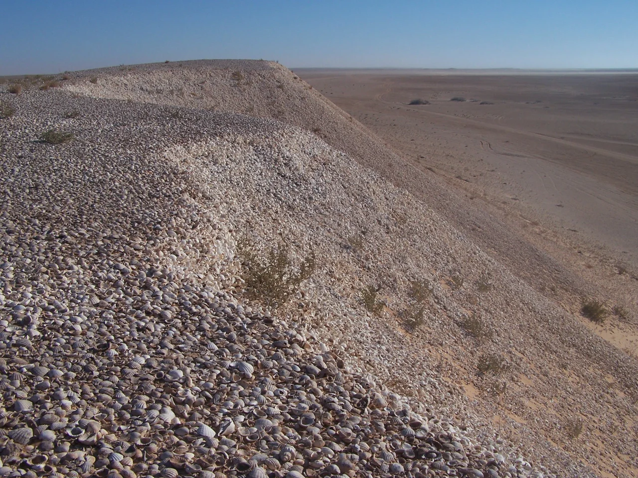
The geography here defies expectation. For dozens of kilometers offshore, the water stays less than five meters deep - a flat carbonate platform built over thousands of years from barnacle and mollusc shells mixed with sand blown off the desert. The shoreline is all battering surf and shifting banks, with seven-meter Cape Timiris its only real promontory. This shallow world holds some of the most pristine seagrass beds left on the planet and waters counted among the richest fishing grounds in West Africa. The park is also a geological ghost: it sits at the former mouth of the Tamanrasset, a river that once drained a wetter Sahara and now exists only as a buried memory beneath the sand.
A Million Wings
It is the birds that made the world pay attention. The vast mudflats feed over two million migrant shorebirds each winter, and the nesting colonies are spectacular in their own right - between 25,000 and 40,000 breeding pairs across fifteen species, the largest concentrations of waterbirds in West Africa. Flamingos, pelicans, and terns crowd the sandbanks and offshore islands. BirdLife International has named the park an Important Bird Area, and in 1989 UNESCO inscribed it as a World Heritage Site. The mild climate and the sheer absence of human disturbance are what make it work: a quiet corner of the planet where birds that have crossed continents can finally rest and feed.
The Imraguen
People belong to this place too, though only a few. About 500 Imraguen live within the park, scattered across seven villages, and they are the only ones permitted to fish its waters. They do it the old way - subsistence catches taken with traditional methods, no motorized boats allowed anywhere in the reserve. Their fishing is woven so tightly into the ecosystem that it has become part of the conservation, not a threat to it. That balance is now under strain: in recent years an international market for shark and ray products has reached even here, tempting some toward catches the rules forbid. It is, today, the hardest problem the park faces - how to hold the line on a coast that the wider world has finally found.
The Raft of the Medusa
These waters have swallowed ships. On 2 July 1816, the French frigate Meduse, bound for Senegal, ran aground on the Banc d'Arguin's treacherous shallows. What followed became one of history's grimmest sea stories: roughly 150 people were set adrift on a hastily built raft, and only a handful survived days of thirst, violence, and despair. The painter Theodore Gericault, working from survivors' accounts, turned their ordeal into 'The Raft of the Medusa' in 1819 - a towering canvas of bodies straining toward a distant sail that now hangs in the Louvre. The deadly reefs that draw millions of birds to safety once drove desperate sailors to ruin, on the same patch of restless water.
From the Air
Banc d'Arguin National Park lies along the Mauritanian coast near 20.23 degrees N, 16.11 degrees W, between Nouakchott and Nouadhibou. From the air it is unmistakable: a sprawling expanse of turquoise shallows, exposed sandbanks, and low islands like Tidra fringing the desert shore, with vast intertidal flats that shift with the tide. Fly higher to take in the scale; lower passes reveal flocks rising off the mudflats. Nouadhibou (GQPP) lies to the north, Nouakchott (GQNN) to the south. Coastal trade winds keep the climate temperate; watch for sea haze and blowing sand near the shoreline.
Nearby Stories
- Arguin 49 km away
- Ras Nouadhibou 59 km away
- Nouamghar 79 km away
- La Güera 84 km away
- Inal, Mauritania 93 km away
- Akjoujt 118 km away
- Inchiri region 129 km away
- Portendick 162 km away