Bant (Omdurman)
There are three stories about the name. The first is pure aesthetic pride: a man named Adlan Beah built his house here during the autumn rains, so beautifully that everyone who followed him wanted to match him, and they called the district "Alrejal Bant," the Man-of-Bant, as in the one who did it right. The second is about courage: the land was barren scrub, and neighbors said, "Do not build there unless you are a brave man." The third is the oldest and perhaps truest: the area was a gathering place for flocks of hawks and eagles flying in from open country, and people said "Sogoor Bant," eagles' land, with a quarter still called the district of eagles to this day. Take your pick. Bant has always preferred to let its own etymology stay slightly wild.
A Younger Neighbor
By Omdurman standards, Bant is young. The district was laid out in the late 1940s and early 1950s, when the Sudanese government distributed plots of land to families who had lost housing during the architectural planning projects in the Postal area and along Almorada Street in the older, Mahdist-era center. Bant was the overflow, the new district for people who needed to start over. What makes Bant notable is that it became, rather quickly, an affluent neighborhood despite its modern origins. The streets were well-organized from the beginning. The plots were generous. The setback from the Nile put it on slightly higher ground than the riverside districts, with marginally better air in the hot months. West Omdurman, after Khour Abuanjah, was where the newer money settled.
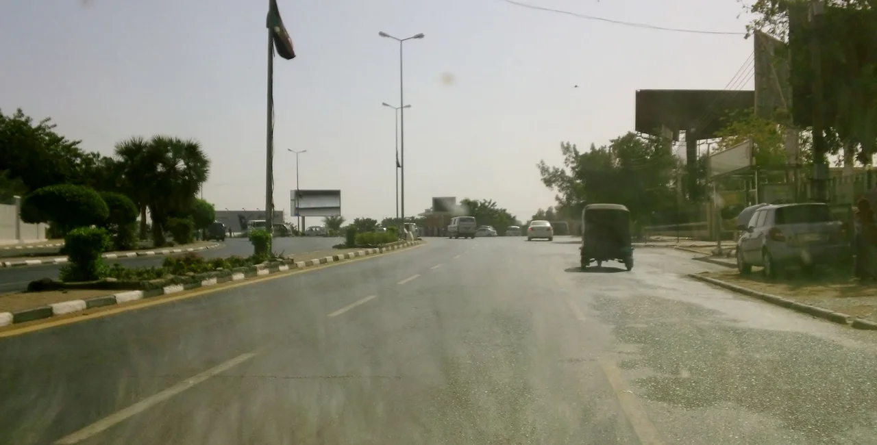
Streets That Name the City
Bant's grid is shaped by its borders. On the east, Almorada Street separates it from the older Almorada district. Alarbeen Street, running north-south, divides Bant into East and West. On the south, Alawda Street marks the edge of the military area. On the north, the Abukdok and officers' district closes the neighborhood off. The streets take the southernmost point where Almutamer Secondary School for Boys sits. In a city where street names change with political winds, Bant's street grid has been stable for seventy-plus years. You can orient a visitor here more easily than in most of Khartoum proper. The eagles district sits west of the Al-Mourada sports club. The Palace of Youth and Children, built under Jaafar Nimeiry, rises in Bant East. Masjid Al-Nilin holds its corner. A visitor looking for any of these has a reasonable chance of finding them.
Masjid Al-Nilin's Two Rivers
The name Al-Nilin means "the two Niles." Masjid Al-Nilin is a famous mosque in Omdurman whose striking shell-like dome has made it a visual landmark. Built in the late twentieth century, the mosque sits near enough to the confluence of the Blue and White Niles to be a destination for both worshippers and travelers. When fighting broke out in 2023, the mosque, like so much of Omdurman, was caught between the Sudanese Armed Forces and the Rapid Support Forces. Bant's religious geography is mosque-centered, as in every Omdurman neighborhood, with prayer times ordering the rhythm of the day. The district supports the typical range of educational institutions: Al-Mo'tamr and Mosa Aldaw Hajoj secondary schools, intermediate schools for both sexes, the AlRashad boys' school, girls' schools on both sides of the central dividing street.
Al-Mourada, Again
Like the neighboring Almorada district, Bant's football identity is tied to Al-Mourada Football Club. Their home stadium sits in Mourada, but the fan base spills into Bant, and the rivalry matters. Omdurman is a football city in a way that the capital Khartoum proper is not; most of the sport's biggest clubs are on this side of the Nile. Bant's residents follow Al-Mourada's fortunes with the same mixture of pride and frustration that any club of a certain age produces in its supporters. The club broke the Al-Hilal/Al-Merrikh duopoly of the Sudanese league in 1968, won the first division title, and then slowly declined. Its renovation plans for the home stadium are the sort of promise neighborhoods keep themselves alive on.
The Climate Stays the Climate
Bant shares Omdurman's hot desert climate: mid-summer temperatures exceeding 53 Celsius, an annual average high of 37.1 Celsius, six months of the year with average highs of at least 38 degrees, no month averaging below 30. Total annual rain is about 155 millimeters, concentrated in July and August, with the rest of the year reliably dry. The architecture responds. Walls are thick; windows are small. Courtyards interior to houses provide cooler microclimates. Afternoon siesta is not a quaint custom but a physiological necessity. Evening brings relief and the social hour when people actually come outside to sit. Bant, like every district in Omdurman, lives on the schedule that the sun dictates.
A Quiet Kind of Prestige
Bant is not the oldest part of Omdurman, nor the most famous. It is simply one of the nicer places to live, in a city whose prestige was always more about history than about wealth. The Palace of Youth and Children built under Nimeiry remains in Bant East as a gesture toward the civic aspirations of an earlier era. The eagles district still carries the name of the birds that gathered here when the land was scrub. Adlan Beah's original house is long gone; his idea of building beautifully still lingers in how the district presents itself. For seventy years, Bant has been what a well-laid-out modern Sudanese neighborhood could be. Through the 2023 war, which tore apart so much of the tripartite capital, Bant has absorbed its share of damage and returned to what it is: an affluent, orderly, eagles-named neighborhood on the west bank of the Nile.
From the Air
Bant sits at approximately 15.65°N, 32.48°E in western Omdurman, Sudan, on the west bank of the Nile, south-west of the ancient city center. Nearest airport is Khartoum International (IATA: KRT, ICAO: HSSS). Recommended viewing altitude 4,000-8,000 ft AGL to appreciate the tripartite metropolitan area of Khartoum, Omdurman, and Bahri at the confluence of the Blue and White Niles.
Nearby Stories
- Kalakla 3.6 km away
- Esh Shaheinab 7.7 km away
- Naqa 39 km away
- Musawwarat es-Sufra 82 km away
- Gezira State 118 km away
- Northern Sudan 196 km away