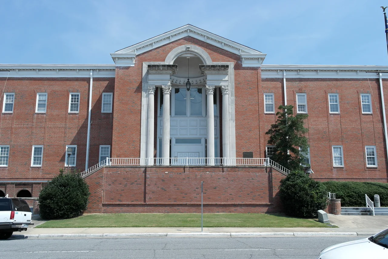

Beaufort County, North Carolina
The Pamlico River doesn't so much pass through Beaufort County as cut it in half. Look at a map of eastern North Carolina and you can see what it means to live here: a thick blue band of brackish water two miles wide in places, splitting the county into a north shore and a south shore and giving every settlement its own waterfront. The original name of this place was Pamptecough, a 1705 colonial precinct that nobody could pronounce. Around 1712 it was renamed for Henry Somerset, the second Duke of Beaufort, who had just become one of Carolina's Lords Proprietor. The dukedom is gone. The river is still here, and the county takes its rhythm from it.
Bath Came First
Before Washington, before any of the county's other towns, there was Bath. Founded a few years before Beaufort County itself, Bath holds the title of oldest incorporated town in North Carolina and is now preserved as a state historic site on the north bank of the Pamlico. The town never grew large - it sits today in a quiet bend of the river, with restored colonial houses and a small church - but it is the seed from which the rest of the county's English settlement spread. Bath County, the larger administrative unit that briefly contained Pamptecough Precinct, dissolved into a set of smaller precincts; one of them became Beaufort Precinct in 1712 and Beaufort County in 1739.
Split by the Pamlico
Beaufort County covers 962 square miles and is the fifth-largest county in North Carolina by total area. Thirteen and a half percent of that area is water - one of the highest water-area ratios in the state, driven by the Pamlico itself and by the maze of creeks and swamps draining into it. Goose Creek State Park preserves a strip of cypress-fringed shoreline near the river's mouth. Goose Creek Game Land and Van Swamp Game Lands protect interior wetlands that host black bear, deer, and waterfowl. Washington, the county seat, sits at the head of the river's tidal section. South of the river, the small towns of Aurora and Chocowinity look across to the more populated north shore.
The Landing Field That Never Was
In the early 2000s the U.S. Navy proposed building an Outlying Landing Field somewhere in eastern North Carolina, a practice strip where carrier pilots could rehearse touch-and-go landings. Beaufort County was on the short list. The proposed site would have sat near the Pungo lakebed and the wintering grounds for tens of thousands of tundra swans and snow geese that funnel through the Atlantic Flyway every November. Environmental groups, hunters, and farmers fought the project, citing the bird-strike risk and the agricultural disruption. After years of contention the Navy backed away and the OLF was never built. The episode is still cited locally as proof that the rural eastern counties could, when motivated, win a fight against the federal government.
Pamlico Towns
The cluster of communities along the river - Washington, Belhaven, Bath, Aurora, Chocowinity, Pantego, Washington Park - each carries a different flavor of working-river life. Belhaven, downstream on the north shore, is the gateway to the Pungo River and the Intracoastal Waterway. Aurora, south of the Pamlico, sits over enormous phosphate deposits mined by the company that became Nutrien (formerly PCS Phosphate); the Aurora Fossil Museum displays megalodon teeth and other Miocene fossils dredged up by the operation. Across all of it, the river sets the pace - shrimp boats, sailboats, cypress shoreline, sky reflected on water - in a county that still measures distance more by waterway than by highway.
From the Air
Beaufort County sits at 35.48 degrees North, 76.84 degrees West, on North Carolina's coastal plain. The Pamlico River is the dominant visual feature from altitude, a clear east-southeast running estuary widening to nearly two miles before broadening into Pamlico Sound to the east. The county seat of Washington lies at the head of the tidal river. Coastal Carolina Regional (KEWN) at New Bern is about 35 miles south; Pitt-Greenville (KPGV) is about 25 miles west; Washington-Warren Airport (KOCW) sits just east of Washington on the north shore. Recommended viewing altitude is 4,500 to 6,500 feet AGL for clear views of both the river and the patchwork of farmland and pocosin swamp that defines the interior.
Nearby Stories
- Skylight Inn BBQ 8.6 km away
- Lake Mattamuskeet 13 km away
- Arapahoe, North Carolina 15 km away
- Jones County, North Carolina 16 km away
- Plymouth, North Carolina 21 km away
- Portsmouth, North Carolina 23 km away
- Princeville, North Carolina 28 km away
- Albemarle Sound 47 km away