Beberibe
The word Beberibe comes from Tupi, meaning roughly "where the sugar cane grows." For a long stretch of the nineteenth century, sugar cane did exactly that along this patch of the Ceará coast, and the rapadura - the dark unrefined blocks of cane sugar that the mills turned out by the ton - made the town wealthy enough to earn the nickname Vila Rica, Rich Town. The mills are mostly gone now, the rapadura industry has largely moved on, and Beberibe has found new names for itself: kitesurfing capital, beach resort, gateway to the colored cliffs just down the road. But the old one still fits the place in a way the new ones never quite manage.
Two Centuries to Become a Municipality
Beberibe had a long, slow birth. The first colonial registration of the area dates to 1691, when a cluster of buildings was raised on a sesmaria - a royal land grant - held by four Portuguese settlers. The land sat largely unoccupied until the early 1800s, when Baltazar Ferreira do Vale of Cascavel and Pedro Queiroz Lima of Aquiraz bought farms there. A donation of land by Brasiliano Ferreira de Araújo for the construction of a church, inaugurated in 1875, pulled a town out of the farmland. The municipality was formally created in 1892, but its status flipped back and forth between municipality and district for another sixty years until 1951, when governor Raul Barbosa signed a law establishing Beberibe permanently. Even then, the official installation waited until 1955. Few places take two and a half centuries to become themselves.
Sugar, and What the Sugar Built
The wealth of nineteenth-century Beberibe came from the engenhos - the sugar mills - that clustered along the rivers. Rapadura is a particularly stubborn form of sugar, unrefined and molasses-dark, traditionally sold in hard blocks that last for months. It was the currency of the Northeast interior, sweetening coffee in hundreds of small towns and feeding the cattle drovers crossing the sertão. The Cunha family and other regional dynasties grew prosperous off it. When the industry declined - bigger, more mechanized mills elsewhere, cheaper refined sugar on the world market - Beberibe's engenhos went bankrupt one after another. The name Vila Rica quietly stopped being accurate. What it left behind was a landscape of rural districts - Parajuru, Paripueira, Itapeim, Sucatinga, Serra do Félix - still named for the farming villages from which they grew.
The Coast That Replaced the Cane
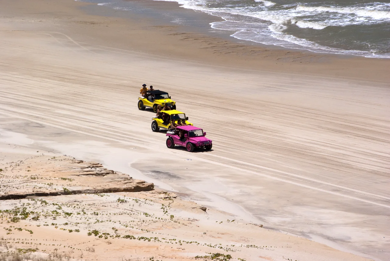
Eighty kilometers southeast of Fortaleza, Beberibe sits on a coastline that tourism discovered later than most of northeastern Brazil but has since embraced fully. The beaches stretch for kilometers in each direction, punctuated by the multicolored sandstone cliffs that became the Beberibe Cliffs Natural Monument in 2004. Kitesurfers from Europe and Argentina arrive in the dry months, when the trade winds blow reliably and the flat water between the beach and the outer sandbar offers something close to ideal riding conditions. The local economy has quietly rebuilt itself around them. The pousadas that now line Praia das Fontes and Morro Branco occupy, in many cases, the same ridges where the engenho owners once built their country houses.
The Fishing Community That Fought Back
Inside the municipality, the 29,794-hectare Prainha do Canto Verde Extractive Reserve marks a different kind of victory. Created in 2009, the reserve was established specifically to protect a traditional fishing community - one that had spent years fighting off real estate speculators who wanted to convert their stretch of beach into another resort corridor. The speculators lost. The community still sails jangadas - the traditional flat wooden rafts with triangular sails that have defined Ceará's artisanal fishing for centuries - off the beach at dawn. It is a reminder that along this coast, the old economy and the new one do not always replace each other. Sometimes they just settle, warily, into adjacent plots of sand.
Uruanda
Before the sesmarias, before the Portuguese names on the paper, the indigenous peoples of this region knew the area as Uruanda. Brasiliano Ferreira de Araújo's farm, which eventually became the city's municipal headquarters, took its name from the Tupi word Beberibe - but the older name for the land itself lingered in local memory long enough to enter the written record. Uruanda. The detail is small but it matters: the place had a name before anyone brought sugar cane to grow here, before the mills and the saints and the tourists and the cliffs became an attraction. Those layers sit underneath the rest.
From the Air
Beberibe is located at 4.18°S, 38.13°W on the Atlantic coast of Ceará, approximately 80 km southeast of Fortaleza. The nearest airport is Pinto Martins International Airport (SBFZ) in Fortaleza. The municipality stretches along a distinctive coastline marked by red and white sandstone cliffs visible from low-altitude approaches. Trade winds from the southeast are reliable from July through December, making this one of Brazil's premier kitesurfing zones.
Nearby Stories
- Redenção, Ceará 12 km away
- VASP Flight 168 24 km away
- Beach Park 27 km away
- Canoa Quebrada 52 km away
- Quixadá Monoliths Natural Monument 73 km away
- Furna Feia National Park 75 km away
- Mossoró 121 km away
- Atol das Rocas Biological Reserve 422 km away