
Bloomfield Track
In December 1983, bulldozers ground their way into one of the oldest living rainforests on the planet, and people climbed the trees to stop them. They chained themselves to trunks, buried themselves to the neck in the path of the blades, and were dragged out and arrested while cameras rolled. The road they fought over is the Bloomfield Track: a narrow, lurching ribbon of red mud and steep pinches that runs north from Cape Tribulation through the heart of the Daintree. It is barely a road at all. But the fight to stop it became one of the most important conservation battles in Australian history.
The Road That Shouldn't Be Easy
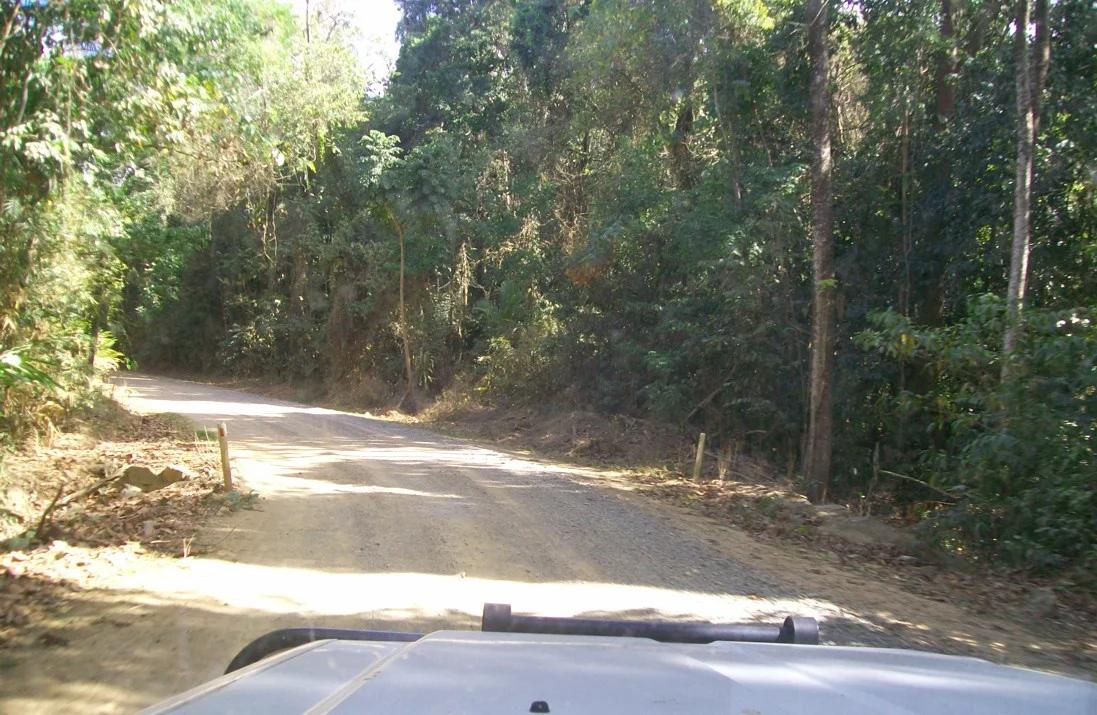
Officially the Cape Tribulation–Bloomfield Road, locally just "the Track," it was punched through to link Cape Tribulation with Cooktown as a coastal alternative to the inland Mulligan Highway. The engineering tells you how unforgiving the country is. To limit the scar through the forest, the builders cut few switchbacks, which left brutally steep gradients straight up and over the Donovan and Cowie Ranges. The route crosses creek after creek as it threads the rainforest before ending at the Aboriginal community of Wujal Wujal on the Bloomfield River. For decades it demanded a four-wheel drive and a cool head; even with bridges added at the Bloomfield River and Woobooda Creek in 2014–15 and sealing on the worst climbs, it is still a dry-weather, drive-with-care proposition. Rain turns it to grease.
The Blockade
Douglas Shire Council and the Queensland Government wanted the road built. Conservationists were appalled: a bulldozed corridor would drag development into rainforest of immense ecological value, where the forest meets the reef and lineages of plants run back tens of millions of years. When the machines arrived, protesters set up camp at the worksite and put their bodies in the way. The scenes — activists in the canopy, police hauling people from the mud, arrests stacking up — drew national and then international attention. They did not, in the end, stop the road. The builders came in from the northern end, flanked the blockade, and pushed the cutting through in roughly three weeks. It opened on 7 October 1984, whereupon rain bogged the official vehicles in the very mud the protesters had warned about.
Losing the Battle, Winning the War
The blockade failed at its literal task and succeeded at something larger. The delays, the publicity, the photographs of people defending a forest with nothing but their own bodies — all of it lit a fuse under a national conversation about what Australia was bulldozing in its far north. The campaign to save the Daintree gathered force, and in 1988 the surrounding rainforest was inscribed as part of the Wet Tropics of Queensland World Heritage Area. The Queensland Government fought the listing to the bitter end, taking the matter to the High Court of Australia to try to block it. It lost. The forest the bulldozers cut through is now globally protected, in no small part because of the people they arrested.
Driving Through Living History
Today the Track is a pilgrimage as much as a drive. It crawls beneath a canopy that predates the flowering of much of the plant world, past fan palms and strangler figs and the occasional flash of a cassowary crossing the road on legs like a dinosaur's. Crossing the Bloomfield River you arrive at Wujal Wujal, a living Kuku Yalanji community whose people belong to this country far more deeply than any road ever could. Every steep, slithering kilometre carries a double meaning: it is the cut that nearly opened the Daintree, and the line in the mud that helped save it. Few roads anywhere ask you to feel both at once.
From the Air
The Bloomfield Track runs roughly along 15.86°S, 145.33°E, a thin coastal corridor through the Daintree linking Cape Tribulation southward with Wujal Wujal and on toward Cooktown. From the air the standout features are the dark, near-unbroken rainforest canopy meeting the Coral Sea, the silver thread of the Bloomfield River, and the steep green spines of the Donovan and Cowie Ranges the road climbs over. This is one of the wettest belts in Australia — expect frequent low cloud, showers, and rapidly building afternoon cumulus over the ranges; clearest light is early morning. Nearest airports: Cooktown (YCKN, runway 11/29) to the north as the regional gateway, and Cairns (YBCS, international) about 110–130 km to the south. There are no significant aerodromes along the Track itself; plan terrain clearance for the coastal ranges.
Nearby Stories
- Daintree Rainforest 4.4 km away
- Byerstown 19 km away
- Cooktown Cemetery 23 km away
- Old Laura Homestead 53 km away
- Green Island (Queensland) 66 km away
- Ngarrabullgan 78 km away
- HMS Mermaid (1817) 150 km away
- Kapa Kapa Trail 673 km away