Bom Despacho, Minas Gerais
The locals call it the German Cemetery. The official inscription on the gate reads Imigrantes da Colonia - Colony Immigrants - and behind that gate lie the settlers who came to this stretch of western Minas Gerais in the 1920s with tools, seeds, and a government promise. Most of their descendants have left, their plots abandoned, their language nearly gone. But a few families remain on Colonia David Campista and Colonia Alvaro da Silveira, still speaking German among themselves, carrying the memory of a Brazilian experiment in European colonization that most of the country has forgotten. Bom Despacho, the municipality around them, is an ordinary-looking cattle-and-coffee town on federal highway BR-262, about two hundred kilometers west of Belo Horizonte. Its history is more tangled than its surface suggests.
The Minas Crossroads
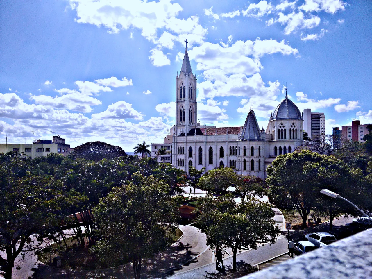
Bom Despacho became a municipality in 1912, emerging from the same patterns of parish-to-village-to-city development that shaped much of interior Minas Gerais. The city center sits at 768 meters elevation on what is now federal highway BR-262, the road linking Belo Horizonte east and Uberaba west - one of the major east-west routes across the state. State highway MG-164 branches north toward Martinho Campos. The Sao Francisco River, one of the great Brazilian watercourses, forms the western boundary of the municipality. The surrounding lands are productive: grain, watermelon, soybeans, rice, sugarcane, corn. The 2006 agricultural census counted 78,000 head of cattle in the municipality, and over a million head of poultry. The town is the seat of the Bom Despacho statistical micro-region, which groups twelve municipalities together - Arauios, Dores do Indaia, Estrela do Indaia, Japaraiba, Lagoa da Prata, Leandro Ferreira, Luz, Martinho Campos, Moema, Quartel Geral, and Serra da Saudade - across more than 7,500 square kilometers.
The Settlement Plan
In the early 1920s, the Brazilian Ministry of Agriculture, under the Bernardes administration, ran a settlement program designed to bring European farmers into the country's interior. Artur Bernardes had been president of the state of Minas Gerais from 1918 to 1922 and then president of Brazil from 1922 to 1926, and the program was rooted in his political vision. The Brazilian politician Faustino Assuncao pushed to have Bom Despacho included. The municipality offered two large tracts of farmland in its direct vicinity, named after Brazilian political figures: Colonia David Campista and Colonia Alvaro da Silveira. Germany, devastated by defeat in the First World War and economic collapse afterward, produced the largest wave of settlers. They arrived on credit - plots, houses, tools, seeds - and agreed to pay the government back from the proceeds of their crops. The German embassy even operated a school on Colonia David Campista, serving the families of both settlements, a documented total of at least 54 families.
The Dispersal
The settlement did not work as planned. The soil was not as fertile as promised. Tropical diseases attacked settlers who had no immunity - malaria, yellow fever, parasites they had never encountered. Crops failed in ways the planners had not anticipated. Many immigrants abandoned their plots within the first decade, moving to Belo Horizonte and other cities in search of wage labor. Some simply went back to Germany. Then came 1942, when Brazil joined the Second World War on the Allied side. The German school was closed. Speaking German was forbidden. Cultural institutions that had supported the settlements dissolved. More families left. By the time the war ended, the experiment was effectively over. A handful of descendants remained on the old colonia lands, holding onto whatever they could of a language their government had briefly tried to forbid. Today, a few still speak it. The cemetery where their ancestors are buried still carries the plain Portuguese inscription - Colony Immigrants - the only monument left to a settlement that briefly was.
Western Minas, Central Nowhere
Bom Despacho has about 51,000 inhabitants in 2020, up modestly from the decades before. The economy is a mix of services, light industry, and agriculture, with 560 rural producers working about 63,000 hectares. The per capita income sits comfortably above the state average, though well below Brazil's richest municipalities. The climate is the standard Brazilian tropical savanna - wet summers, dry winters, warm year-round. BR-262 brings trucks and travelers through all day. The Sao Francisco River valley lies just to the west, its waters running north toward the sertao and eventually the Atlantic. The colonia farmlands still exist, now mostly owned by newer farming families with no German ancestry. The trees on some of the old plots are older than the settlement itself. The German cemetery endures, quiet and well-tended, a reminder that history in these parts is sometimes written in names that outlast the people who carried them.
From the Air
Located at 19.74 S, 45.25 W in western Minas Gerais, Brazil, at about 768 meters elevation on the central plateau. Nearest commercial airport is Belo Horizonte-Confins (SBCF) about 180 km east, with Divinopolis Airport (SBDN) closer. The city sits just off federal highway BR-262, the major east-west corridor across Minas Gerais. The Sao Francisco River forms the western municipal boundary and is a prominent feature visible from altitude. Terrain is rolling cerrado savanna and agricultural land. Best visibility in the May-October dry season.
Nearby Stories
- Paraopeba 37 km away
- Inhotim 46 km away
- Piumhi 54 km away
- Paranaíba River 59 km away
- Ibirité 68 km away
- Minas Gerais 89 km away
- Crucilandia 96 km away
- Capitólio 100 km away