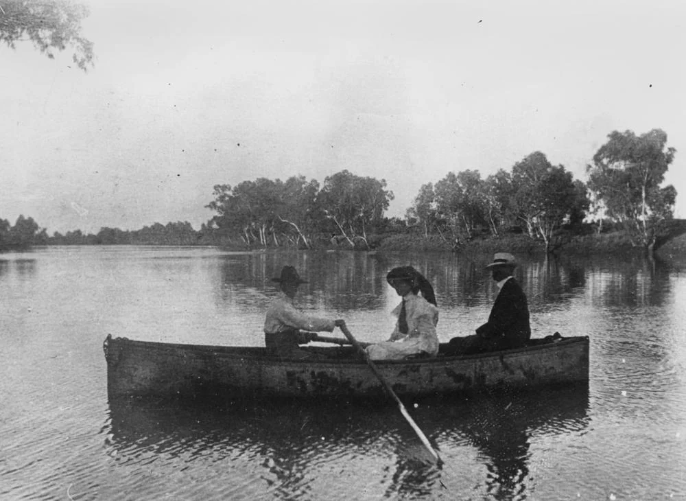

Burke River
Most of the year, the Burke River is not a river at all. It is a bed of pale sand and shaded waterholes threading south through Boulia, waiting. This is an ephemeral river in the truest sense: it runs only when the rains come, and when they do, the flat Channel Country can vanish under sheets of slow brown water. The name carries a quiet irony. The river honours Robert O'Hara Burke, the Irish-born police inspector who led the doomed Burke and Wills expedition across the continent in 1860 and 1861, and who was, by most accounts, hopeless at finding his way. A newspaper of his day joked that he could not tell north from south in broad daylight.
From the Ranges to the Desert's Edge
The Burke rises in the Standish Range, in the hills north of Boulia, and runs south past the town toward the fringes of the Simpson Desert. It belongs to the Lake Eyre Basin, an immense inland drainage system that, instead of reaching the sea, pours its water toward the lowest, driest heart of the continent. The Burke spills into Eyre Creek, which feeds the Georgina River, one of the great braided channels of the outback. Downstream, the Hamilton River joins the Georgina too. In a good flood year this whole web of channels brims and connects; in a dry one, it is a memory written in sand and the lines of coolibah trees that mark where water once ran.
A River of Boom and Bust
Water dictates everything out here, and it arrives on its own schedule. When the Burke and its sister channels flood, the Channel Country becomes some of the most fertile cattle land in Australia, the plains thick with feed almost overnight. When the rains fail, the same country bakes to dust and the waterholes shrink to muddy remnants that every living thing in the district depends upon. The town of Boulia itself grew up on the river's bank in the 1870s, drawn to a reliable waterhole, and the Burke has shaped the rhythm of pastoral life ever since: years of plenty and years of drought, never quite in the proportions anyone would choose.
Older Names, Older Knowledge
Long before a surveyor wrote an explorer's name across the map, this was Aboriginal country, and the languages of the region knew these waters intimately. The Yulluna language, also recorded as Yalarnga and by several other names, belongs to country reaching toward the Gulf of Carpentaria and takes in the area around the Burke. Closer to Boulia, the Pitta Pitta people are the traditional custodians, and the town's own name comes from their word for a nearby waterhole. For tens of thousands of years, survival here meant reading the channels: knowing which holes held water through the dry, and where the next flood would spread its life. That knowledge predates Burke by an order of magnitude.
From the Air
The Burke River runs roughly north to south through Boulia, with the cited reference point near 22.81°S, 140.02°E in Central West Queensland. From the air the river is one of the clearest navigation features in the region: a meandering line of darker vegetation and waterholes cutting through otherwise featureless red and ochre plains, especially vivid after rain when the channels fill and braid. Boulia Airport (ICAO: YBOU) sits beside the township; the nearest major airport is Mount Isa (ICAO: YBMA), about 300 km north. Visibility across the Channel Country is typically excellent in the dry season. Recommended viewing altitude 2,000-5,000 ft AGL to trace the river's course and its junction with the wider Georgina channel system.
Nearby Stories
- Marion Downs Station 59 km away
- Diamantina National Park 64 km away
- Cannington Mine 77 km away
- Glenormiston Station 80 km away
- Mount Elliott Mining Complex 115 km away
- Diamantina Lakes Station 123 km away
- Moonah Creek Hanging Tree 130 km away
- Pilungah Reserve 137 km away