Cahora Bassa Dam
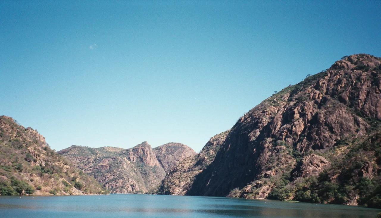
Before the dam closed, there were villages. Portuguese engineers, working under the colonial government that still held Mozambique in the late 1960s, built a company town on higher ground - housing for contractors, electricians, engineers. The town went up on top of native Mozambican homes. The people who had lived there were evicted and received no compensation for their lost property. Then, in December 1974, the reservoir began to fill. The Zambezi, which had flowed through this gorge for as long as there had been a Zambezi, met a wall of concrete 171 meters tall and 303 meters wide at the crest, and it stopped.
Concrete and Politics
Construction began in 1969, a late and expensive project of Portuguese colonial administration in Mozambique. The design was ambitious: a double-curvature arch dam impounding 2,700 square kilometers of Zambezi water into a reservoir that would eventually reach 250 kilometers long and 38 kilometers wide, with an average depth of around 21 meters. Five turbines, each rated at 415 megawatts, would spin in the powerhouse, making Cahora Bassa the largest hydroelectric scheme in southern Africa. That electricity was not meant for Mozambique. It was meant for South African farms, mines, and cities, transferred across 1,800 kilometers of high-voltage direct-current transmission lines to the Apollo converter station near Pretoria. From the start, Cahora Bassa was infrastructure built in Mozambique for somewhere else. The people displaced from the valley protested. They were ignored.
A Dam in Wartime
The dam filled in December 1974, months after the Carnation Revolution in Lisbon had swept the Portuguese colonial regime aside. Mozambique became independent on 25 June 1975. The new country inherited a functioning dam and a peculiar ownership structure: eighteen percent to Mozambique, eighty-two percent to Portugal. Then came the Mozambican Civil War, which lasted sixteen years and ended in 1992. Long stretches of the HVDC transmission line were sabotaged. Towers fell. Power transfer to South Africa dropped to almost nothing for a decade. When the guns finally went silent, nearly all of the roughly 4,200 transmission-line towers on the Mozambican side needed replacement or refurbishment, a job that took from 1995 into 1998 to finish. The dam itself kept standing, but the system it fed had to be rebuilt almost from scratch. In 2007, Portugal sold most of its stake, reducing its share to fifteen percent and ending decades of post-independence dispute.
Who Gets the Power
The dam generates around 1,450 megawatts from its five turbines. Most of it still goes south. Locals in the Zambezi valley describe the irony bitterly: the river that was dammed on their land supplies electricity to other countries while many nearby villages still lack reliable power and clean drinking water. Rainfall has not cooperated either. Average annual precipitation in the dam's catchment was about 37 inches before 2010; by 2016 it had fallen to 25 inches. If the trend continues, operators may need to cut flow to some or all the turbines to preserve reservoir levels, which would cascade into reduced supply at the Apollo and Songo converter stations. Mozambique's energy strategy includes pumped storage and accumulator-type backup to smooth these gaps. But the structural fact remains: a dam that displaced thousands of Mozambicans still exports most of its power to South African grids.
Refit for 2050
In December 2022, Hidroelectrica de Cahora Bassa - the company now majority-owned by Mozambique - secured a 125-million-dollar loan to modernize the dam and its operating systems. The engineering contract went to a consortium pairing Sweco from Sweden with Intertechne Consultores from Brazil. The goal is to keep generating capacity at 2,075 megawatts through at least 2050, with rehabilitation work scheduled to conclude in 2025. Fifty-year-old equipment is being replaced. Control systems are going digital. The wall of concrete, meanwhile, remains. So does the memory, among the families whose grandparents were evicted from the valley, of what the dam was built on and who it was built for. Mozambique owns 85 percent of it now, and that matters. It cannot undo what filling the reservoir covered. But the ledger, at least, finally reads in Mozambique's favor.
From the Air
Coordinates 15.59 degrees south, 32.70 degrees east, elevation approximately 330 meters at the dam crest. The Cahora Bassa Dam sits in a narrow gorge in Tete Province, western Mozambique, with the reservoir stretching 250 kilometers upstream toward the Zambian border. From above, the arch of the dam is unmistakable - a white concrete crescent with turbine water surging from the base. Nearest airport is Chingodzi (FQTT) at Tete, about 130 kilometers east. Cruise at 5,000 to 7,000 feet AGL to see the full lake geometry; note the protected airspace around the dam and the HVDC transmission corridor running south.
Nearby Stories
- Tete, Mozambique 43 km away
- Cahora Bassa 56 km away
- Kalemba Rockshelter 135 km away
- Great Dyke 147 km away
- Majete Wildlife Reserve 149 km away
- Lilongwe 153 km away
- Mchinji 166 km away
- Centenary, Zimbabwe 217 km away