Cahora Bassa
Kahoura-Bassa. In the Nyungwe language, it means "finish the job" - and the phrase attached itself to the Zambezi gorge long before anyone built a dam there. When the Portuguese arrived in the colonial era, they spelled it Cabora Bassa. After independence in 1975, Mozambique re-spelled it Cahora Bassa, matching more closely how the name sounded in the local tongue. A change of letters, quiet but deliberate - the kind of thing new countries do to names that used to be other people's.
Africa's Fourth-Largest Artificial Lake
When the reservoir finally filled behind the Cahora Bassa Dam, it became the fourth-largest artificial lake in Africa. Only three are bigger: Ghana's Lake Volta, Zambia-Zimbabwe's Lake Kariba upstream of Cahora Bassa on the same Zambezi, and Egypt's Lake Nasser behind the Aswan High Dam. Cahora Bassa stretches about 250 kilometers long and 38 kilometers wide at maximum, flooding 2,700 square kilometers of what had been the Zambezi's rocky middle gorge in Mozambique's Tete Province. The Zambezi, the fourth-largest floodplain river in Africa, now flows through the gorge in a far more regulated rhythm than it once did. But disastrous floods still happen. The 1978 flood - the first major flood since the dam filled - killed 45 people, displaced 100,000, and caused 62 million dollars in damage. It destroyed the widely held belief that the dam would finally bring the Zambezi to heel.
Independence and the Dam
The Cahora Bassa System began as a Portuguese colonial project in the late 1960s, with Southern African governments negotiating agreements that had Portugal building and operating the dam and the HVDC transmission system, and South Africa building the Apollo converter station and buying the power. During Mozambique's struggle for independence, Frelimo guerrillas repeatedly attacked construction materials headed for the dam - the completion of the reservoir would widen the river so dramatically that canoe crossings would become impractical for fighters needing to move between banks. The dam began to fill in December 1974, just after the Carnation Revolution in Lisbon swept the colonial regime from power. Mozambique became independent on 25 June 1975. The new country inherited an 18 percent equity stake in Hidroelectrica de Cahora Bassa; Portugal kept 82 percent. The arrangement held, uneasily, for thirty-two years. On 27 November 2007, Portugal's Prime Minister Jose Socrates signed an agreement in Maputo transferring most of Portugal's stake to Mozambique. Finance Minister Fernando Teixeira dos Santos said Portugal would collect 950 million dollars from the sale, and decades of dispute over the company's 2.2 billion dollars in debt finally came to an end.
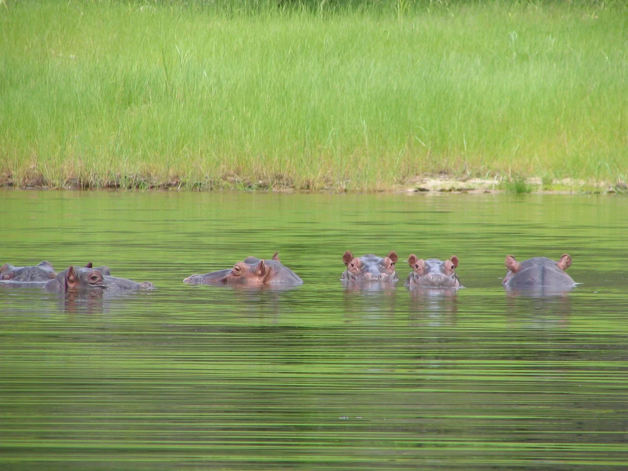
Kapenta, Lions, and the Zambezi Shark
A serious kapenta fishery developed in the reservoir after the dam filled. Kapenta are small sardine-like fish introduced to Lake Kariba from Lake Tanganyika, and they moved into Cahora Bassa as its waters filled. The annual catch in 2003 exceeded 10,000 tonnes. Fishermen head out at dusk with rigs of kerosene lamps that attract clouds of kapenta to the surface, then haul them in by the sackful. The lake's shoreline has also become a Lion Conservation Unit since 2005. And there is a mystery, or at least a persistent local rumor: a breeding population of Zambezi sharks - bull sharks - may be living full-time in the fresh water. Bull sharks are known to travel more than 100 kilometers upstream, and they are among the few shark species capable of surviving indefinitely in fresh water. Local communities report sightings and attacks. Scientific confirmation has never been pinned down. Either way, imagine being the first angler to hook one.
Rebuilding What the War Broke
The Mozambican civil war ran from 1977 to 1992. During those years, 1,895 transmission-line towers were destroyed and 2,311 more needed refurbishment across 893 kilometers of Mozambican territory. In the 1990s, Hidroelectrica de Cahora Bassa brought in South Africa's Trans-Africa Projects to manage reconstruction, with a joint venture of Italy's Consorzio Italia 2000 and Enel handling construction. The line route passed through dense bush from Songo to the South African border near Pafuri, and both servitudes were infested with landmines from the war that had to be cleared before any tower work could begin. Heavy unseasonable rainfall slowed the schedule. About 1,100 people worked during peak construction. The first line came back online in August 1997, the second in November of the same year. Then in February 2000, severe flooding in the Limpopo River valley knocked down roughly ten more towers, requiring another emergency reconstruction. In April 2009, four foreign nationals were arrested for putting a highly corrosive substance into the lake - they claimed to be a team from Orgonise Africa, placing pieces of orgonite in the water to improve what they called the etheric energy of the dam. Some stories really do have everything.
From the Air
Coordinates 15.67 degrees south, 31.83 degrees east, elevation approximately 310 meters at lake surface. Cahora Bassa Lake stretches 250 kilometers long through Tete Province, western Mozambique, running roughly east-west with the dam at the eastern end. From cruising altitude the lake's narrow, fjord-like shape is unmistakable - a slender blue corridor through dry miombo woodland. Nearest airport is Chingodzi (FQTT) at Tete, near the dam's eastern end. Cruise at 5,000 to 8,000 feet AGL to read the full length of the lake; look for fishing-rig lights after dark.
Nearby Stories
- Tete Province 31 km away
- Great Dyke 54 km away
- Luangwa River 98 km away
- Centenary, Zimbabwe 117 km away
- Luangwa Bridge 128 km away
- Tete, Mozambique 134 km away
- Kalemba Rockshelter 152 km away
- Mchinji 194 km away