Luangwa Bridge
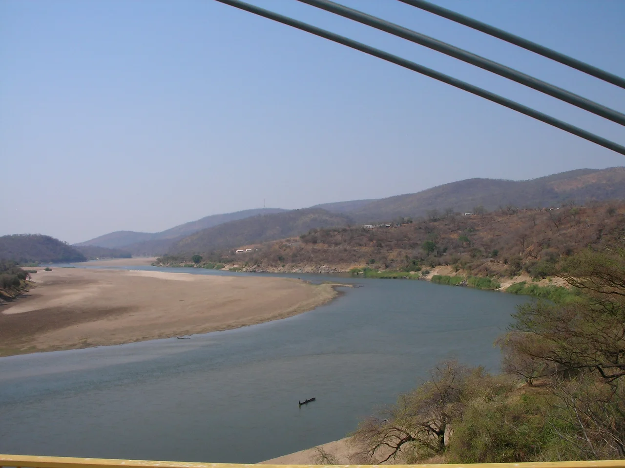
Twice in a single lifetime the Luangwa Bridge has been destroyed on purpose. The first time came in the 1960s, when the colonial-era steel-and-concrete span built in 1932 became a target for retaliatory sabotage after Zambia's independence. The second time came in 1979, when Zimbabwe-Rhodesian forces blew up the replacement cable-stayed bridge to prevent an invasion from the north. Both times it was rebuilt, because there was no real alternative. The Luangwa River is 250 to 400 meters wide here, the Great East Road descends from 1,000 meters of plateau down to 390 meters at the river, and for Zambia's entire Eastern Province this is the way home.
An Engineering Problem
The site itself dictates the challenge. The Great East Road, which runs from Lusaka to the Malawi border, follows high watersheds for most of its route. At the Luangwa Valley the road plunges down steep, rugged slopes covered in forest and thick bush, into deep ravines, all the way to the river at 390 meters of elevation. Then it has to climb back up. The river does not cooperate either. In the dry season it may be a shallow channel meandering across sandbanks; in the wet season, the same crossing has to carry a full-width, deep, and fast-moving flood. The nearest city, Lusaka, is 250 kilometers west. The bridge sits about two kilometers from the Mozambique border and sixty kilometers from Zimbabwe. Every kilogram that enters or leaves Eastern Province by road crosses here. There is no redundancy.
The First Bridge, and Its Revenge
The first Luangwa Bridge was completed in 1932. It was a narrow 300-meter span of steel and reinforced concrete on concrete piers, financed by the Beit Trust, the same trust that also paid for the Chirundu Bridge and Beit Bridge downstream. The Beit money came from the estate of Alfred Beit, a diamond magnate whose trust was directed to build roads and bridges across southern Africa. For decades the first bridge carried everything that moved east or west across Zambia's central spine. After independence in 1964, President Kenneth Kaunda publicly backed liberation movements in neighbouring white-ruled countries. The retaliation came against infrastructure. Someone, at some point in the mid-1960s, destroyed the bridge. The exact operational record is incomplete; most accounts point to the clandestine operations that Rhodesian and Portuguese security services ran against ZIPRA and ZANU supporters in Zambia.
A Cable-Stayed Replacement
Britain, the former colonial power, paid for and helped build the second Luangwa Bridge, which opened in 1968. It was designed by Freeman Fox and Partners, the same British engineering firm that designed the Humber Bridge and Severn Bridge, and constructed by Redpath Dorman Long. The design was innovative for its time and place: a cable-stayed span with a composite steel-reinforced concrete deck 9.8 meters wide, two H-shaped steel pylons 42 meters tall set on reinforced-concrete piers, and steel stay cables fanning out to support the deck. The main span measures 222 meters, with 40-meter approach spans on either side. It became, and remains, one of only a handful of cable-stayed bridges in sub-Saharan Africa, and at the time of its opening one of the earliest in the world outside Europe and Asia.
Blown Up Again, and Again Rebuilt
In 1979 the military of Zimbabwe-Rhodesia, the short-lived transitional state that preceded Zimbabwean independence, destroyed the bridge along with the Chambeshi road and rail bridges further north. The aim was to prevent ZIPRA forces from staging an invasion southward. Zambia rebuilt it again. Two decades later, the National Road Fund Agency rehabilitated the span using Danish aid. As of 2022, plans have been approved for a further rehabilitation, backed by a 75.5 million dollar grant pledged by Japan. The bridge stands 390 meters above sea level at its deck, spans a river that changes character with every rainy season, and remains what it has always been: the thread that connects Eastern Province to the rest of the country. Without it, there is no road. With it, the country holds together.
From the Air
Located at 14.98 degrees S, 30.21 degrees E, spanning the Luangwa River where the Great East Road descends from the central plateau into the Luangwa-Zambezi confluence area. Deck elevation approximately 390 meters above sea level. Nearest major airport is Kenneth Kaunda International (FLKK) in Lusaka, 250 km west. From cruising altitude, the river is unmistakable: a wide green-brown channel with pronounced meanders, flowing southwest toward its junction with the Zambezi at the Mozambique border. The bridge and its two H-shaped pylons are visible from low flight.
Nearby Stories
- Zambezian flooded grasslands 10 km away
- Luangwa River 47 km away
- Lower Zambezi National Park 55 km away
- Lusaka Province 71 km away
- Cahora Bassa 140 km away
- Central Province, Zambia 142 km away
- Great Dyke 170 km away
- Kalemba Rockshelter 173 km away