Central Province, Zambia
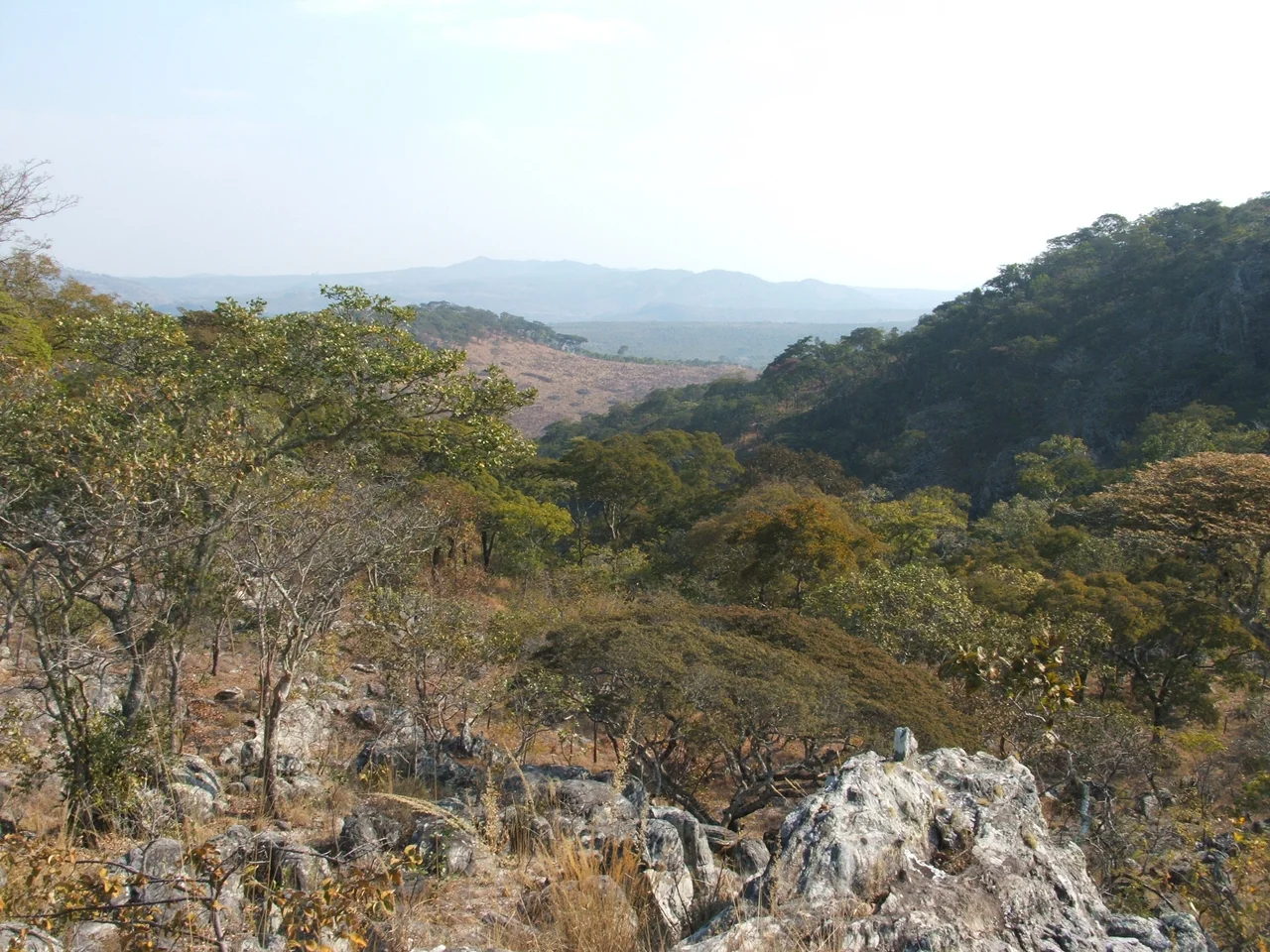
Go to Kabwe, the provincial capital, and ask anyone to point you to the Mulungushi Rock of Authority. They will send you to an outcropping on the outskirts of town that looks, at first, like nothing - a large granite slab with the wind blowing through the acacia trees around it. But that is where the United National Independence Party held mass rallies in the early 1960s, where Kenneth Kaunda and other founders laid down the rhetoric that would become the new country. In 1968, the Mulungushi Declaration was issued here, proclaiming Zambia a socialist nation. The rock is still a rock. The echo of those rallies is still in the air if you stand still long enough.
Geography of the Middle
Central Province covers 94,394 square kilometers and shares a border with eight other provinces, which gives you a sense of its centrality to Zambia's internal geography. Its total forested area is nearly 9.1 million hectares - a significant share of the country's woodland. The soil is fertile enough to make the province Zambia's agricultural heartland: 20.64 percent of Zambia's cultivated land lies here, and the province produces 23.85 percent of the country's agricultural output. As of 2010, wheat was the major crop. Cotton and maize thrive in the rotations. Precious metals come out of the Mkushi area. Gold is mined around Mumbwa. Coal is worked in Kapiri Mposhi. The Tanzania-Zambia Railway - TAZARA - has a major terminal in Kapiri Mposhi, linking Zambia's landlocked interior to the Tanzanian port of Dar es Salaam. The province moves goods as much as it grows them.
Redrawing the Lines
Like most Zambian provinces, Central has been administratively reshuffled more times in the last fifteen years than in the forty before. In 2013, President Michael Sata carved Chisamba out of Chibombo District. In 2015, Ngabwe was separated from Kapiri Mposhi District, with the former infrastructure minister Lucky Mulusa floating a proposal to make Ngabwe Zambia's new capital city. In 2012 alone, Chitambo was split from Serenje, Luano from Mkushi, and Shibuyunji from Mumbwa, with Shibuyunji briefly transferred to Lusaka Province before President Edgar Lungu moved it back to Central in February 2018. Itezhi-Tezhi District was forced into Central Province in 2012, against the wishes of local chiefs, and then returned to Southern Province in November 2021 by President Hakainde Hichilema at those same chiefs' request. The current count, as of 2021, is eleven districts. Each redrawing reflects a political calculation about representation, resources, and which chiefs get heard. The lines on the map move. The people living inside them usually stay put.
Kafue, Kasanka, and the Lukanga Swamp
Central Province borders or contains a remarkable share of Zambia's protected wild land. Kafue National Park, the country's largest, is shared with Southern and North-Western Provinces - a park bigger than Wales with populations of elephant, lion, leopard, and sable antelope. Blue Lagoon National Park sits in the northern Kafue Flats. Kasanka National Park borders the Bangweulu Wetlands and hosts one of Africa's most spectacular wildlife events: the annual arrival of roughly ten million straw-colored fruit bats, the largest mammal migration on Earth. The Lunsemfwa and Lukusashi River valleys cut through the eastern escarpment. And there is the Lukanga Swamp - a permanent 1,850-square-kilometer wetland at the mouths of the Lukanga and Kafue rivers, laced with lagoons like Lake Chiposhye and Lake Suye. The International Monetary Fund has flagged it as potential territory for a fishing industry. For now, it remains largely as it has been - a vast swamp where hippos snort and fishermen work the water with nets handed down for generations.
Kabwe, Lala, and the Bemba Lingua Franca
The provincial capital is Kabwe, a town that began as a colonial-era lead and zinc mining center and is still recovering from the environmental legacy of that industry. Kabwe hosts Mulungushi Hall, the venue for most of Zambia's international conventions, and the Mulungushi Rock of Authority just beyond its limits. In the 2010 census, Bemba was the most-spoken language at 31.80 percent - a reflection of how Bemba has become a cross-regional lingua franca across much of Zambia. The Lala were the largest single ethnic group at 20.30 percent. Literacy stood at 70.90 percent, narrowly beating the national average. Central Province does not have the dramatic visual signature of a Victoria Falls or a Zambezi gorge. Its claims are quieter: the country's breadbasket, the terminus of a major international railway, the birthplace of Zambian independence, and the quiet home of some of the continent's most improbable wildlife.
From the Air
Coordinates 14.00 degrees south, 29.00 degrees east, elevation averaging 1,150 meters across the plateau. Central Province occupies the geographic middle of Zambia - its boundaries are political rather than topographical, but from the air the agricultural patchwork around Kabwe and Kapiri Mposhi is distinctive, with the miombo woodland of the surrounding game management areas reading as a darker green. Nearest major airports are Kenneth Kaunda International (FLKK) at Lusaka, roughly 140 kilometers south, and Simon Mwansa Kapwepwe International (FLSK) at Ndola, 200 kilometers north. Cruise at 6,000 to 10,000 feet AGL for best coverage.
Nearby Stories
- Kabwe 22 km away
- Central Zambia 32 km away
- Roan Antelope Copper Mine 65 km away
- Bwana Mkubwa 87 km away
- Luangwa Bridge 110 km away
- Kasanka National Park 171 km away
- Luangwa River 200 km away