
Cariló
There is no asphalt in Cariló. Every road is a sandy trail winding beneath a canopy of pine, and the houses do not sit on the forest so much as inside it, tucked among trunks that were here before they were. The name comes from the Mapuche for green dune, and that is exactly the trick this place pulls off: a green forest standing where there should be only bare, shifting sand. It is one of the very few coastal towns on Earth where a man-made forest, not the sea, defines the landscape. The catch is that someone had to plant every tree.
A Forest Conjured from Sand
In the early 1920s the land that is now Cariló was nothing but coastal dunes with barely any vegetation, part of a 1,700-hectare estate of shifting sand used for cattle ranching. Héctor Manuel Guerrero set out to change that, launching an ambitious afforestation project on his property, which he called Dos Montes. It was not easy. There were no roads in, no infrastructure, and almost no local knowledge about how to anchor a moving dune. Guerrero and his team experimented their way forward, testing tree species and planting methods, working in pines and fruit trees to fix the sand and lure native birds. By 1935 the new green expanse had a name: Cariló. By 1947, more than 660,000 trees had been raised for planting.
Streets That Spell the Forest
When Guerrero's descendants laid out the town, they did something quietly poetic. The streets are named not for politicians or saints but for the living things around them, and they are organized with an almost botanical logic. Roads running perpendicular to the shore are named after native plants and trees; roads running parallel to the coast are named after local birds. Both sets march in alphabetical order. To walk Cariló is to read a field guide written into the map itself. The estate's grand main house, Divisadero, also called Casa Grande, was built on a dune facing the Atlantic in 1948, and by the 1970s the family had finished transforming the whole property into a mature coastal forest. The tree nurseries, no longer needed, were shut down.
Living Among the Trees
The rules that made Cariló keep it intact. Local ordinances still protect the forest, limiting how many trees may be removed and requiring replanting for any that come down. There is no race to pave the trails or clear the lots; the sandy roads and the pines are the entire point. Buildings are individually designed and slotted between existing trees, so that even the hotels and shops seem to grow out of the woods rather than displace them. It gives the place a hushed, filtered quality, light falling green through the canopy onto sand. For most of the year Cariló is nearly empty, with only a handful of permanent residents, before the summer floods it with visitors.
Where the Pines Meet the Sea
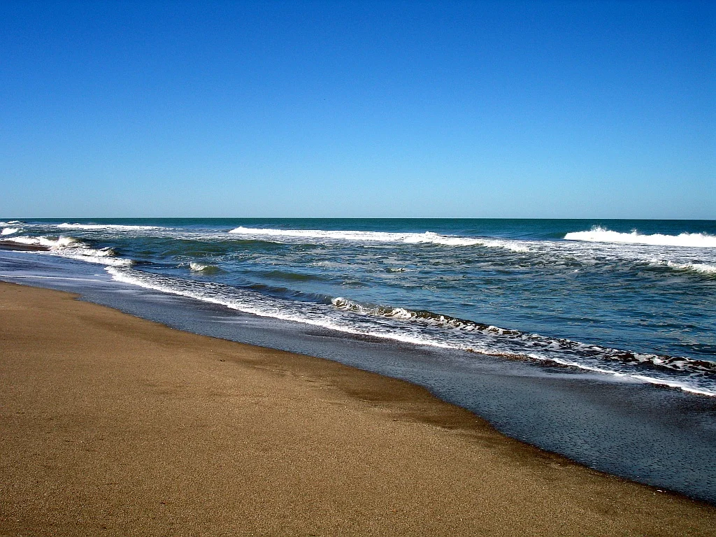
Step out of the forest and the Atlantic opens up in wide, sandy beaches, most of them free and open to anyone. A few stretches are run by beach clubs with literary names like Hemingway and Neruda, and in places you can drive a four-by-four right onto the sand. Between the trees and the waves there is plenty to do: surf schools line the beach, horseback riders and hikers thread the wooded dunes, and the Cariló Golf Club lays its sloped fairways and blind shots among the pines. Families climb the zip lines and rope bridges of the Bosque Aéreo, an aerial forest park. It is a strange and lovely thing, this town, half woodland and half shore, every bit of it planted on purpose where the wind once moved only sand.
From the Air
Cariló sits on the Atlantic coast of Buenos Aires Province at approximately 37.17°S, 56.90°W, about 360 km south of Buenos Aires, wedged between Pinamar to the north and Villa Gesell to the south. From the air it is unmistakable: a dense, dark rectangle of pine forest pressed against a pale beach, with almost no visible roads because the sandy trails vanish under the canopy. That solid block of green against the dunes is the navigation cue. The nearest field is Villa Gesell Airport, also called Villa Gesell–Pinamar International (ICAO: SAZV), only a few kilometers south with a single 1,815 m paved runway; Mar del Plata's Astor Piazzolla International Airport (ICAO: SAZM) lies roughly 90 km down the coast to the southwest. Recommended viewing altitude is 2,500 to 4,500 feet AGL. The coastal light is usually clear, with occasional summer sea fog along the shore.
Nearby Stories
- Austral Líneas Aéreas Flight 205 59 km away
- Campos del Tuyú National Park 63 km away
- Bristol Hotel, Mar del Plata 92 km away
- Bombardment of Mar del Plata 94 km away
- Chascomús 162 km away
- 2012 Air Class Líneas Aéreas Fairchild Swearingen Metroliner crash 219 km away
- Punta Carretas 251 km away
- South Georgia Island 2396 km away