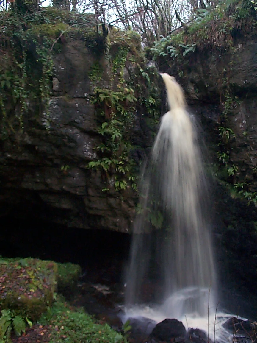

Caves of the Tullybrack and Belmore Hills
From the air, the West Fermanagh Scarplands look like nothing in particular. Two hills, neither tall, rise above a patchwork of small fields and dry stone walls. But step onto Tullybrack or Belmore and you are walking on a roof. The ground beneath your boots is honeycombed with cave systems, three of them major, that the Northern Ireland Environment Agency has called nationally significant. Reyfad Pot, the deepest cave in Ireland, lies under Tullybrack. Polltullybrack contains a 53-metre vertical drop, the longest known pitch in any Irish cave. In Pollnacrom, in 1981, a diver pushing through an impassable sump never came back.
Three Systems, Two Hills
The caves of Tullybrack (386 metres) and Belmore (398 metres) sit just north of the Marble Arch Caves Global Geopark and share its karst geology. Three major systems run beneath the two hills: the Reyfad-Glenkeel system, the Noon's Hole-Arch Cave system, and the Boho Caves. The rock is mostly Dartry Limestone laid down during the Asbian substage of the Visean stage of the Carboniferous period, with the Knockmore Limestone Member playing a key supporting role. Cave development happened in the Quaternary period, and many features formed during the Holocene epoch of the last 10,000 years. Almost every cave in this complex has been designated a provisional Area of Special Scientific Interest, the Northern Ireland equivalent of an SSSI.
The Cave the Agency Called the Most Important
Reyfad Pot, beneath Tullybrack, has a name that comes from Irish: Pota Raith Fada. The Northern Ireland Environment Agency has noted it as the most important underground karst site in Northern Ireland, and the second longest cave in the region. Its passages are formed in Carn and Dartry Limestones with some Glenade Sandstone, plus deposits of breccia, chert, calcite, and gypsum. Access requires landowner permission, and for good reason. The Reyfad-Pollnacrom-Polltullybrack system is what the Environmental Agency calls arguably the most important underground karst feature in all of Northern Ireland. Four major stream sinks feed it: Pollnacrom, Polltullybrack, Waterfall Sink, and Watson's Sink. All emerge at the Carrickbeg Rising, the proven resurgence for the whole system.
The Longest Drop in Ireland
Polltullybrack offers what is probably the most dramatic moment in Irish caving. The entrance is tight, hidden in a dry valley, but it opens into a wider cave with deep pools and 250 metres of difficult passage. After ducking through a submerged section, cavers reach a 53-metre vertical shaft. This is the longest known pitch in any Irish cave. To put that in perspective, it is the height of an 18-story building, descended in a single rope on a single bolt-anchor. Just before joining the main Reyfad system, the cave passes chambers called the Grottoes, full of fine calcite formations: stalactites, helictites, and cave curtains. Access here also requires landowner permission. This is not a tourist cave.
The Diver Who Did Not Return
Pollnacrom has a small wet entrance leading to a 50-metre shaft, then a smaller 15-metre drop, then a hundred metres of stream passage trending northwest before turning south. The cave has been explored for six hundred metres before terminating at an impassable sump. In 1981, a diver attempted to force a route through that sump. He died there, in the cold dark water at the end of the known cave. His name does not appear in the public records. The route remains impassable. Cavers still descend Pollnacrom to see the Heaven and Hell passage, named with the gallows humor that runs through this whole subculture, but the terminal sump is a place where the rope stops and the unknown begins.
The Lettered Cave
Fifty metres below the summit of Knockmore is a small cave with carved walls. The Lettered Cave is partly natural, partly human-made, and its art and writing span varying ages. William Wakeman investigated it between 1866 and 1870, and Thomas Plunkett did further work in 1878 and 1898. It is now a scheduled ancient monument. Wakeman, writing in 1868, described its setting as lying in the midst of a desolate, heath-clad highland, which extends over a considerable portion of northern Fermanagh, with no trace of cultivation, ancient or modern. The cave's name comes from the inscriptions on its walls: a mix of crosses, star-shapes inside rectangles, and ogham-style markings whose meanings remain debated. Whoever made these marks chose a spot that even today feels remote.
Tracing the Hidden Rivers
Cavers and hydrologists have spent decades pouring dye into stream sinks to trace where the water goes underground. Murphy's Hole, at the north end of a depression that also contains Seltanacool Sinks, takes large volumes of water in heavy rain. Dye traces have shown its water emerges at Carrickbeg Rising. Pollmore, surrounded by cliffs on three sides, has two sinks that flood to two metres deep in wet weather. Its water also emerges at Carrickbeg. Pollkeeran, a collapsed cave roof turned into a choke hole, sends its water two kilometres north to the same resurgence. Pollkeeran is also extremely dangerous and warnings advise that only experienced cavers should attempt it. The whole underground drainage map of these two hills has been painstakingly assembled, sink by sink, dye release by dye release, since the 1960s.
The Surface Above
Stand on Tullybrack or Belmore in late summer and you would not know any of this. The hills look like sheep pasture and bog, with limestone pavement showing through where the soil is thin. A few stone walls, a few scattered farms, the kind of view that fills a thousand postcards. Below, beneath your boots, water is moving through passages that took millions of years to dissolve. Bats sleep in higher chambers. The remains of Bronze Age people lie in collapsed dolines. Cavers, the ones with the keys to the landowners' gates, occasionally appear and disappear. Most days, though, the only sound on the hills is the wind, and below them, the steady silent work of water on stone.
From the Air
Located at 54.38 degrees north, 7.86 degrees west, in southwest County Fermanagh, Northern Ireland, north of the Marble Arch Caves Global Geopark. Recommended viewing altitude 3,000 to 5,000 feet above terrain to take in both hills. Belmore (398m) and Tullybrack (386m) are clearly visible as a paired upland. The surface karst shows as exposed limestone pavement and small irregular fields. The Sillees River valley runs to the south. Nearest airports: St Angelo (EGAB) immediately east, Donegal (EIDL) northwest, Belfast International (EGAA) east. Atlantic weather brings frequent low cloud and rain; the upland often has its own micro-cloud cover even when valleys below are clear.
Nearby Stories
- Ulster Canal 1.3 km away
- Cliffoney 3.5 km away
- County Leitrim 6.4 km away
- Ballymote 7.7 km away
- Gortin 11 km away
- Fintona 11 km away
- Glencolmcille 19 km away
- Castlederg 21 km away